Čepulje - Sveti Mohor (Zabrekve)
Starting point: Čepulje (672 m)
| Latitude/Longitude: | 46,23260°N 14,28320°E |
| |
Walking time: 1 h 30 min
Difficulty: easy marked way
Elevation gain: 280 m
Elevation difference along the route: 315 m
Map: Škofjeloško in Cerkljansko hribovje 1:50.000
Recommended equipment (summer):
Recommended equipment (winter):
Views: 27.859
 | 2 people like this post |
Access to starting point:
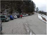
First, we drive to Kranj (Labore), and from there we continue driving in the direction of Stražišče, Pševa and Sveti Jošt nad Kranjem. Higher up, we reach the village of Javornik, from which a road branches off to the right towards the top of Jošt, and we continue straight in the direction of the village Čepulje. When we arrive in Čepulje, we continue right (left Planica and Lavtarski Vrh) and continue driving for approximately 100 m to the marked parking lot.
Route description:
From the parking lot, we head onto a steep road in the direction of Špičasti hrib and Sveti Mohor. The road, which runs through the forest, flattens higher up and then continues with some shorter ascents and descents. The path ahead leads us past a small quarry, after which the path to Špičasti hrib branches off to the right; we continue along the road for a short time, and then it brings us to a marked junction, where the path to Sveti Jošt branches off to the right. Here we continue left downhill on a footpath, which quickly returns to the road, and this takes us to the Gaber homestead, where the road ends.
We continue on a marked footpath, which first climbs steeply, then flattens and brings us to a wide cart track, along which we continue to a poorly marked junction, where the path from Zgornja Besnica joins us from the right.
A few meters further on, we step onto a forest road, which we follow to the right and slightly uphill, and it quickly brings us out of the forest onto a panoramic grassy ridge. The road then returns into the forest, where it first descends gently, then brings us in a gentle ascent to the chapel at the hamlet Bezovnica. Here the road descends to the houses there, where we notice signs for Sveti Mohor, which direct us slightly left. We walk through the yard of a farm building, then continue on a marked hiking path, which first ascends through a belt of forest, then temporarily flattens and brings us out of the forest, where after a few steps the path from the villages Nemilje and Podblica joins.
Here we continue straight and after less than 5 minutes of further walking arrive at the summit with the church of St. Mohor.

Photos:
 1
1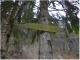 2
2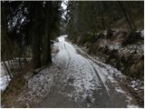 3
3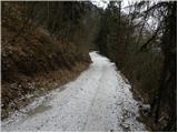 4
4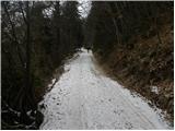 5
5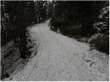 6
6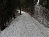 7
7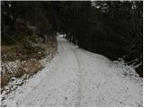 8
8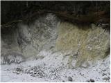 9
9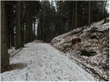 10
10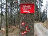 11
11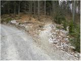 12
12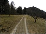 13
13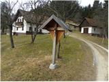 14
14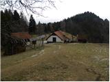 15
15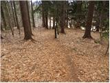 16
16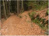 17
17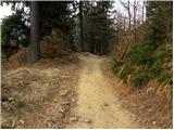 18
18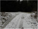 19
19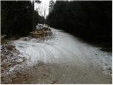 20
20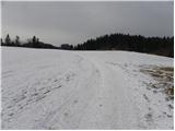 21
21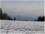 22
22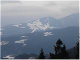 23
23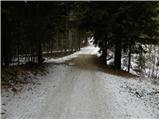 24
24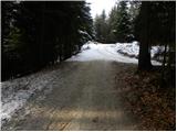 25
25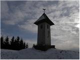 26
26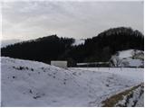 27
27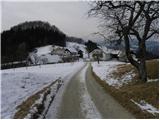 28
28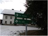 29
29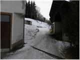 30
30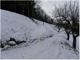 31
31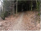 32
32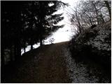 33
33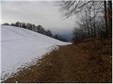 34
34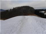 35
35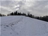 36
36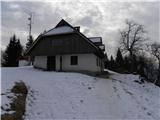 37
37 38
38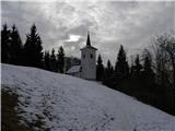 39
39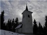 40
40 41
41
Discussion about the trip Čepulje - Sveti Mohor (Zabrekve)
To post a comment you must log in:
If you do not yet have a username, you must first
register.