Češnjice v Tuhinju - Vivodnik
Starting point: Češnjice v Tuhinju (675 m)
| Latitude/Longitude: | 46,22440°N 14,81440°E |
| |
Walking time: 2 h 25 min
Difficulty: easy unmarked way
Elevation gain: 833 m
Elevation difference along the route: 845 m
Map: Zgornja Savinjska dolina 1:50.000
Recommended equipment (summer):
Recommended equipment (winter): ice axe, crampons
Views: 2.970
 | 1 person like this post |
Access to starting point:
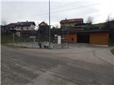
A) First, we drive to Kamnik, then continue driving on the regional road through Tuhinjska dolina. A little after the village Laze v Tuhinju, we will arrive at the gas station, beside which a road branches off to the left towards the villages Golice, Češnjice v Tuhinju and Okrog pri Motniku. Here we turn left and on a somewhat narrower road quickly reach the settlement Češnjice v Tuhinju, where there is a sports field. We park in an appropriate place by the road before or after the village.
B) From the Maribor - Ljubljana highway, we take the Vransko exit, then continue driving towards Kamnik. A little after the Kozjak pass (pass between Gorenjska and Štajerska), we will arrive at the gas station, beside which a road branches off to the right towards the villages Golice, Češnjice v Tuhinju and Okrog pri Motniku. Here we turn right and on a somewhat narrower road quickly reach the settlement Češnjice v Tuhinju, where there is a sports field. We park in an appropriate place by the road before or after the village.
Route description:
Opposite the sports field we head onto the road that ascends through the village; at its beginning, on one of the houses we notice signs for ŠDT (the wooden sign is damaged, so the entire inscription is not visible). After a short ascent through the village we arrive at a smaller NOB memorial park, where we continue right (the ŠDT path continues left) on a cart track that ascends diagonally to the right. After a few minutes the cart track brings us to a small valley, where there is usually a woodpile; we continue right on this section onto an ascending cart track. Further on we ascend the cart track, from which we first get some views of the surrounding hills, then it enters a dense forest, where it leads us past an interesting watering place for wildlife. Higher we cross a macadam road (left Zgornji Tuhinj and Golice, right Okrog pri Motniku) and continue the ascent on the cart track, by which we quickly arrive at the Kovran cottage, where the cart track turns slightly left. A diagonal ascent to the left follows, after which we arrive at a junction, where straight ahead a short path continues to the nearby cottage located at the edge of a larger mountain pasture; we continue right and further ascend along the pasture fence. Higher, at the hayrack we take the second turn-off right and continue ascending along the pasture fence, from which a nice view opens towards Kum. After a few minutes of steep ascent we cross the pasture fence; the cart track, which widens, also levels out. We continue on the wider cart track, which proceeds between pastures, crossing several fences placed across the cart track. A little further, along the path we notice even some old blazes, behind which we join a poorer road that we follow uphill. After about a minute of further walking we reach a wider road, which we follow left towards Tuhinj (right Biba planina). We walk along the wider road for a few minutes, then at the start of the left bend continue slightly right onto the forest road, by which we moderately ascend through the forest. When the road brings us out of the forest we arrive at Česenska poljana, where the road turns into a cart track, which in a gentle descent brings us to a junction where we join the marked path Golice - Dom na Menini planini.
We follow the mentioned path right, and further at several junctions we follow the blazes. When higher the forest thins again we arrive at a marked junction, where the path splits into two parts. The right path leads to Vivodnik, the left bypasses the mentioned peak and leads directly to Dom na Menini planini. We continue on the right path, by which with occasional views we quickly arrive at the highest peak of Menina planina, where a smaller wooden lookout tower stands.
Description and pictures refer to the condition in 2015 (December).

Photos:
 1
1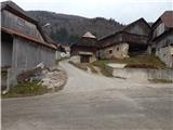 2
2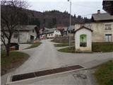 3
3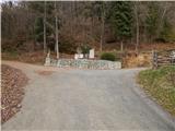 4
4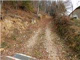 5
5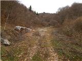 6
6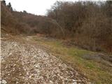 7
7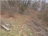 8
8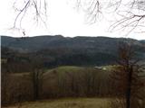 9
9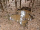 10
10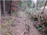 11
11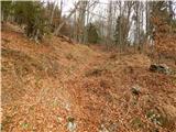 12
12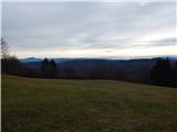 13
13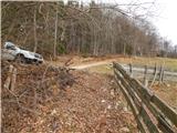 14
14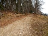 15
15 16
16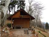 17
17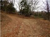 18
18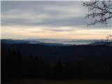 19
19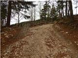 20
20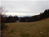 21
21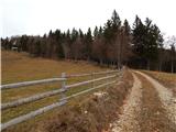 22
22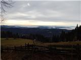 23
23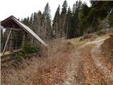 24
24 25
25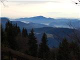 26
26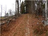 27
27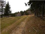 28
28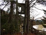 29
29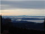 30
30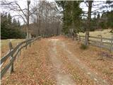 31
31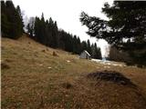 32
32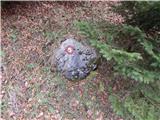 33
33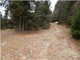 34
34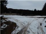 35
35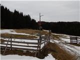 36
36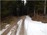 37
37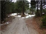 38
38 39
39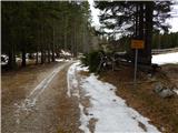 40
40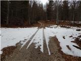 41
41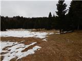 42
42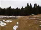 43
43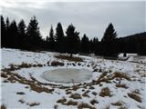 44
44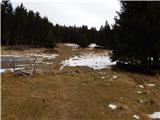 45
45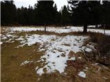 46
46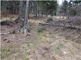 47
47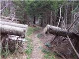 48
48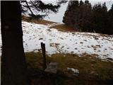 49
49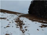 50
50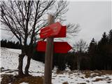 51
51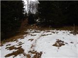 52
52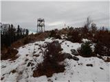 53
53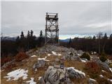 54
54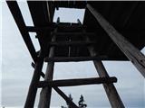 55
55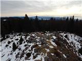 56
56 57
57 58
58
Discussion about the trip Češnjice v Tuhinju - Vivodnik
To post a comment you must log in:
If you do not yet have a username, you must first
register.