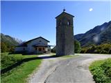
Kapelica sv. Ane - Monte Nischiuarch
Starting point: Kapelica sv. Ane (1077 m)
| Latitude/Longitude: | 46,33156°N 13,33196°E |
| |
Walking time: 1 h 25 min
Difficulty: easy pathless terrain
Elevation gain: 183 m
Elevation difference along the route: 190 m
Map: Tabacco 26 1:25.000
Recommended equipment (summer):
Recommended equipment (winter):
Views: 99
 | 2 people like this post |
Access to starting point:
From the road Kobarid – Bovec in the village Žaga we turn towards the border crossing Učja. When we enter Italy, at the junction we continue right towards the saddle Karnica (Sella Carnizza). We follow the narrow road all the way to the village Njiviza / Gniviza shortly before the Karnica pass. In the mentioned village, at the junction, we turn left towards the chapel of St. Anne. We follow the road to the chapel where we park.
Route description:
From the church, we continue on the macadam road in the direction of the mountain pasture Nizki vrh (Casera Nischiuarch). The road, which is closed to public traffic by a traffic sign, leads us into the forest and turns left. We continue along the gentle and relatively wide road, from which occasional views open towards the north, where the nearby grassy ridge west of Skutnik is particularly clearly visible. The road then brings us to a junction where we continue along the right-hand upper road. The road then ascends only slightly more steeply and continues the whole time traversing occasionally quite steep slopes in an east-southeasterly direction. We follow the road all the way to its end above the mountain pasture Nizki vrh, where there is also a junction.
To the right, a marked path leads only a short descent to the cottage on the mentioned mountain pasture, but here we leave the marked path and turn left onto a gentle forested ridge along which runs a somewhat grass-covered mule track. We follow the mule track to the right; further on it keeps us along the right side of the ridge. The relatively gentle path now traverses the slope in a southeasterly direction. Later it passes below a small cliff and brings us to a junction. We turn left and quickly reach a military trench. The right path leads slightly downhill to the remaining military trenches.
We climb out of the ditch in front of the trench entrance and then head left onto pathless terrain. We walk straight uphill and quickly reach a forest-covered summit. On the summit there is also a small cross and a concrete slab.

Photos:
 1
1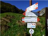 2
2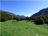 3
3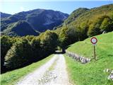 4
4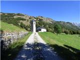 5
5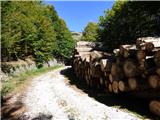 6
6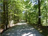 7
7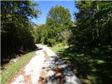 8
8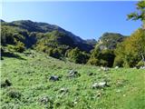 9
9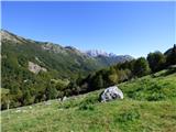 10
10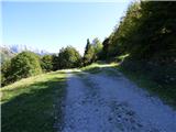 11
11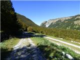 12
12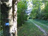 13
13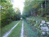 14
14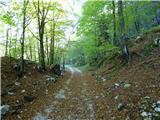 15
15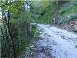 16
16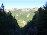 17
17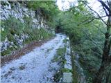 18
18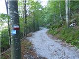 19
19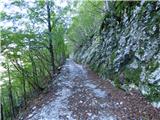 20
20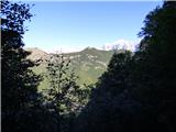 21
21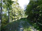 22
22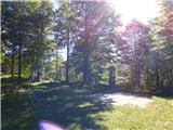 23
23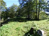 24
24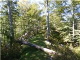 25
25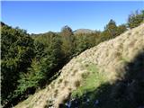 26
26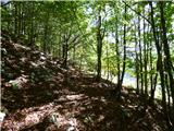 27
27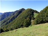 28
28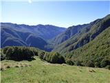 29
29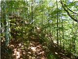 30
30 31
31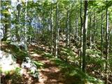 32
32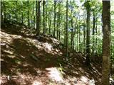 33
33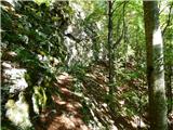 34
34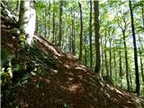 35
35 36
36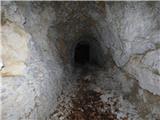 37
37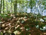 38
38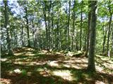 39
39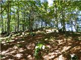 40
40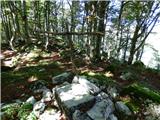 41
41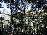 42
42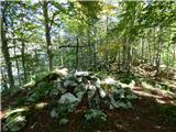 43
43
Discussion about the trip Kapelica sv. Ane - Monte Nischiuarch
To post a comment you must log in:
If you do not yet have a username, you must first
register.