Starting point: Col (627 m)
| Latitude/Longitude: | 45,88180°N 14,00060°E |
| |
Walking time: 1 h
Difficulty: easy marked way
Elevation gain: 334 m
Elevation difference along the route: 334 m
Map: Nanos 1:50.000
Recommended equipment (summer):
Recommended equipment (winter):
Views: 15.628
 | 2 people like this post |
Access to starting point:
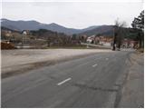
From the road Logatec - Idrija at the settlement Godovič, we turn onto the road in the direction of Črni vrh and Ajdovščina. We then follow the considerably winding road to the settlement Col, where we park on a large parking lot opposite the church.
From Primorska, we first drive to Ajdovščina, and then we continue driving in the direction of Idrija. We follow the ascending road to the settlement Col, where we park on a large parking lot opposite the church.
Route description:
From the parking lot, we continue on the asphalt road in the direction of Predmeja. After approximately 5 minutes of walking, we will notice signposts by the road, which direct us left onto a worse road in the direction of the path Pot po robu. A relatively gentle road soon changes into a cart track, which continues through a pine forest. A well-marked path on a smaller clearing leaves a wide cart track and continues on a wide path, which further ascends diagonally through at first still dense forest. A little higher, the path passes onto grassy slopes, which we only cross, and then blazes direct us to the left onto a slightly steeper path, on which in a few minutes of additional ascent we ascend to the summit of Kovk.
Photos:
 1
1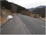 2
2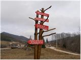 3
3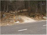 4
4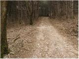 5
5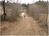 6
6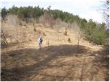 7
7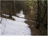 8
8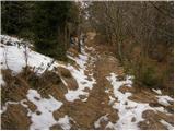 9
9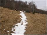 10
10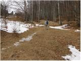 11
11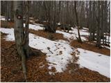 12
12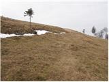 13
13 14
14
Discussion about the trip Col - Kovk
To post a comment you must log in:
If you do not yet have a username, you must first
register.