Col - Sinji vrh (west path)
Starting point: Col (627 m)
| Latitude/Longitude: | 45,88180°N 14,00060°E |
| |
Route name: west path
Walking time: 3 h 10 min
Difficulty: easy marked way
Elevation gain: 375 m
Elevation difference along the route: 550 m
Map: Goriška - izletniška karta 1:50.000
Recommended equipment (summer):
Recommended equipment (winter):
Views: 4.870
 | 1 person like this post |
Access to starting point:
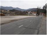
A) From the Razdrto - Nova Gorica highway, take the Ajdovščina exit, then continue driving in the direction of Col and Idrija. When you get to Col, turn left towards Predmeja and then after a few meters right onto the parking lot opposite the parish church in Col. You can also park on the parking lot by the nearby sports field.
B) Drive to Logatec, from there continue driving towards Idrija. At the end of the settlement Kalce, turn left in the direction of Podkraj and Col, then on a somewhat more winding road first get to Podkraj, and then on a somewhat flatter road to Col. In Col, where you join the road from Ajdovščina, continue right, then after some 10 meters left in the direction of Predmeja. Towards Predmeja drive only a few meters, because immediately after the intersection turn right onto the parking lot opposite the church of St. Lenart.
C) Drive to Idrija, then continue driving towards Logatec. When you get to Godovič, leave the main road towards Logatec and continue driving right in the direction of Črni Vrh, Col and Ajdovščina. When you get to Col, turn right towards Otlica and Predmeja and then once again right onto the nearby parking lot opposite the church.
Route description:
From the parking lot opposite the church in Col continue on the main asphalt road towards Predmeja. After approximately 5 minutes of walking on the asphalt road, you will get to the spot where signs for the path Pot po Robu point left onto a poorer forest road. The fairly gentle road soon turns into a cart track, which continues through a pleasant pine forest. The well-marked mountain path leaves the cart track on a smaller clearing and continues on a wider path, which for some time runs through dense forest. A little higher, you emerge from the forest onto grassy slopes, which you merely cross, then the blazes lead left onto a somewhat steeper path, on which in a few minutes you ascend to the panoramic peak Kovk.
From the top, descend towards the southwest and continue the path on a somewhat less visible footpath that runs along the edge of the plateau above steep panoramic slopes. The path soon levels out, then leads you across grassy terrain to a junction, where a marked path from the hunting cottage Budanje joins from the left (near the junction there is the logbook box "Sončnica").
Continue straight and follow the path along the edge of the plateau on panoramic terrain, on which in a minute or two of further walking you arrive at the Sončnica take-off site.
From the take-off site, continue on the marked path, which heads west and leads along the edge of the plateau. After a few shorter ascents and descents, you quickly reach the peak of Kraguljc, which you recognize by the small concrete stone (trigonometric point) on the mountain top.
From the top follows an easy descent along the ridge of Kraguljc, from where beautiful views occasionally open onto the Vipava Valley, then you arrive at a marked junction, where the marked path from Ajdovščina joins from the left.
Continue straight in the direction of the path along the edge (left 30 meters stamp and logbook box Podrta gora) and continue the path for a few more minutes along the edge of the plateau. From the highest point of Podrta gora follows a short descent and the path brings you into a small valley, where at a poorly marked junction there is the next logbook box, attached near the plague monument.
Before the monument, continue right (straight marked path along the edge, also Sinji vrh via Črne stene) in the direction of Sinji vrh, then immediately after the monument left onto a beaten but no longer marked footpath further on. Follows a short easy traverse descent, then you arrive at a somewhat larger meadow, where the path is lost. Across the meadow continue traversing to the right, where you quickly arrive at an abandoned house. Just before the house cross the road, but continue to the yard of the house, thus bypassing the house on the right side. Behind the house, step onto the road, on which you continue the path, which begins to turn left. After a few minutes, reach a wider macadam road, along which runs the marked path Pot po Angelski gori, which you follow left (right Sinji vrh - eastern path).
Continue on the macadam road, which runs through a grassy valley. After a few minutes of further walking, arrive at a smaller junction, where continue right (the left road ends at a house a few minutes away) onto a somewhat poorer forest road. Immediately after the junction, one branch of the path Pot po Angelski gori branches left, but you continue straight on the road, along which there are still signs for the path Pot po Angelski gori. The gently ascending road enters the forest and soon brings you to a smaller junction, where a poorer road branches right. Here continue straight or slightly left, then behind the beech tree on which you notice No. 33, continue slightly right onto a poorer road, which after a few meters of descent ends. At the spot where the road ends or turns into a cart track, continue straight onto the footpath, which temporarily ascends somewhat more steeply. The footpath soon turns slightly left, then after a short traversing ascent widens into a cart track, which brings you to the memorial plaque and a small cottage. Bypass the cottage on the right side, then on the ever-widening cart track in a few minutes arrive at the asphalt road, where you join the marked path.
Follow the road right, past the bench with table arrive at a junction, where continue right in the direction of Sinji vrh (if continue left you arrive at the main road Col - Predmeja). Follows a somewhat steeper ascent and the road past a residential house and higher past the left serpentine brings you to the Sinji vrh guesthouse, where the road ends. At the guesthouse there is the SPP stamp, before the guesthouse continue right onto the footpath, on which in approximately 3 minutes of further walking you ascend to the panoramic Sinji vrh.
Col - Kovk 1:00, Kovk - Sončnica 20 minutes, Sončnica - Kraguljc 15 minutes, Kraguljc - Podrta gora 10 minutes, Podrta gora - Sinji vrh 1:35.

Photos:
 1
1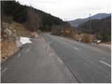 2
2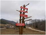 3
3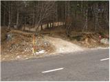 4
4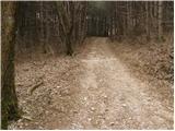 5
5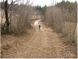 6
6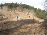 7
7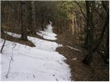 8
8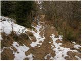 9
9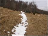 10
10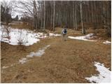 11
11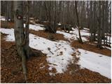 12
12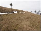 13
13 14
14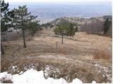 15
15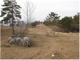 16
16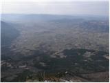 17
17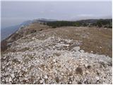 18
18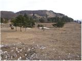 19
19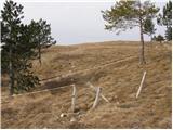 20
20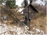 21
21 22
22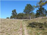 23
23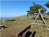 24
24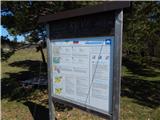 25
25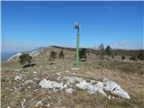 26
26 27
27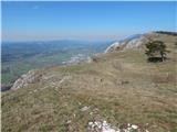 28
28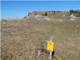 29
29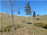 30
30 31
31 32
32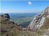 33
33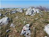 34
34 35
35 36
36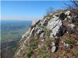 37
37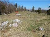 38
38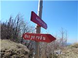 39
39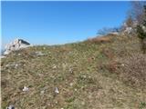 40
40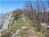 41
41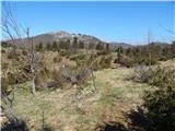 42
42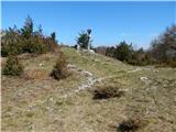 43
43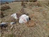 44
44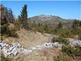 45
45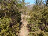 46
46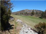 47
47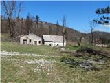 48
48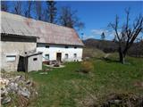 49
49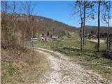 50
50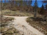 51
51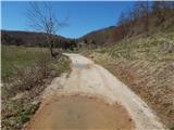 52
52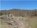 53
53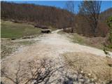 54
54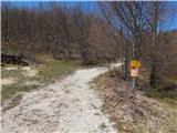 55
55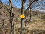 56
56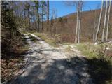 57
57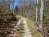 58
58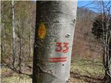 59
59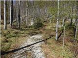 60
60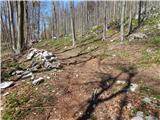 61
61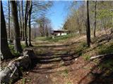 62
62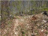 63
63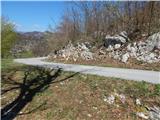 64
64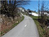 65
65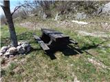 66
66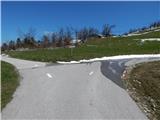 67
67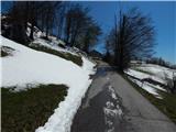 68
68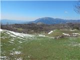 69
69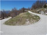 70
70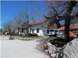 71
71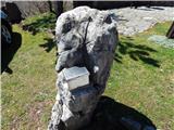 72
72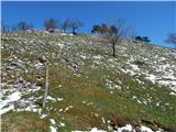 73
73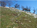 74
74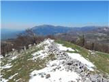 75
75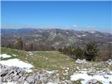 76
76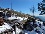 77
77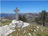 78
78 79
79
Discussion about the trip Col - Sinji vrh (west path)
To post a comment you must log in:
If you do not yet have a username, you must first
register.