Koncentracijsko taborišče - Hajnžev Praprotnik / Zeller Prapotnik
Starting point: Koncentracijsko taborišče (1000 m)
| Latitude/Longitude: | 46,43340°N 14,27070°E |
| |
Walking time: 3 h 15 min
Difficulty: easy unmarked way
Elevation gain: 727 m
Elevation difference along the route: 875 m
Map: Karavanke - osrednji del 1:50.000
Recommended equipment (summer):
Recommended equipment (winter): ice axe, crampons
Views: 1.180
 | 1 person like this post |
Access to starting point:
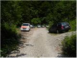
From the motorway Ljubljana - Jesenice, at the Podtabor junction we continue in the direction of Ljubelj and Tržič. We continue driving on initially fast, then a regional road in the direction of Ljubelj. At the last left turn on the Slovenian side, which is located approximately 500 m behind the concentration camp, we turn right onto a macadam road, which we follow for less than 100 m to a somewhat larger macadam parking lot.
Route description:
From the parking lot we continue on a poorer macadam road, which ends after a few minutes by the nearby torrent. Here signs for mountain pasture Korošica direct us right onto a well-maintained old border guard or hunting path. We continue the ascent in numerous switchbacks on a path that ascends relatively steeply through the forest. Higher we reach a viewpoint, the path turns left there and then ascends moderately to steeply for some time. Higher we step onto a cart track, which we follow for only a few tens of meters, then at a smaller junction we leave it and continue straight ahead. The path immediately returns to the forest, and we continue ascending on a pleasant forest path that a little further brings us to a smaller junction, where a less trodden path branches off to the left, and we continue sharply right. The path then levels out and brings us from the forest onto grazing slopes. The path ahead continues by traversing the slopes to the right and a little further brings us to a marked junction.
We continue sharply left (right mountain pasture Korošica 5 minutes) in the direction of Koča na Ljubelju and Košutice. The path ahead briefly traverses the slopes to the left, then ascends moderately and brings us in a few minutes of further walking to the border ridge, where the path from Koča na Ljubelju joins from the left.
We continue right and after a few minutes of further walking we arrive at a marked junction, where we continue left over the fence following the signs Hainschgraben / Hajnžev graben.
From the junction the path first descends slightly, then turns right and traverses the slopes of Košutice to the left. Initially we still descend slightly, then behind an interesting cliff the path begins to ascend transversely. After a few minutes of transverse ascent, with nice views of the surrounding mountains, we quickly reach Dovjakovo sedlo, where we cross the grazing fence once again.
At the grazing fence a path branches off to the left to Lokovnikov Grintovec, and we slightly left seek the continuation of the marked path, which descends transversely to the other side of Lokovnikov Grintovec. After a few minutes of transverse descent the path brings us to an indistinct ridge, along which we continue the descent to an indistinct saddle between Lokovnikov Grintovec and Hajnžev Praprotnik.
At the mentioned saddle an indistinct marked path turns right downward toward Hajnžev graben, and we continue left over the grazing fence, then descend easily toward the northeast. On this section the path completely disappears, and we continue over gentle terrain to a cairn, after which a poorer path appears on the slope (if here we continue left downward we arrive at Lokovnikova planina, if however we keep right along the ridge, the passage is blocked by dwarf pines).
In the continuation it is very good to stick to the poorer path, as it takes us through the steep section without major difficulties. Above the steep slope the path enters among dwarf pines and occasionally still ascends steeply. Higher we reach the ridge of Hajnžev Praprotnik, and the path continues for some time through occasionally quite overgrown dwarf pines. Despite occasional greater overgrowth, the path through the dwarf pines can be followed quite easily.
On the ridge the path levels out, and only a few shorter ascents and descents separate us from the main summit. Before the ascent to the summit the dwarf pines end, and we first ascend steeply onto the ridge, along which then in a few tens of steps we reach the panoramic summit.
Starting point - Dovjakovo sedlo 2:20, Dovjakovo sedlo - Hajnžev Praprotnik 55 minutes.

Along the route: Dovjakovo sedlo / Dovjaksattel (1728m)
Photos:
 1
1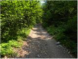 2
2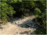 3
3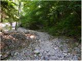 4
4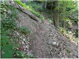 5
5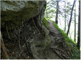 6
6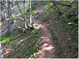 7
7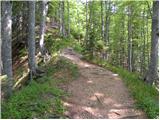 8
8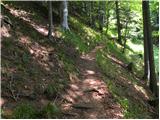 9
9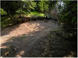 10
10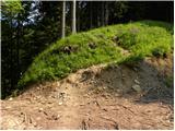 11
11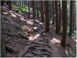 12
12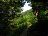 13
13 14
14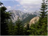 15
15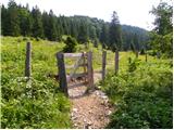 16
16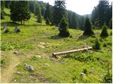 17
17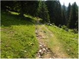 18
18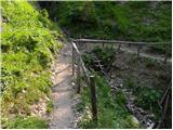 19
19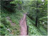 20
20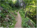 21
21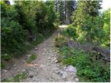 22
22 23
23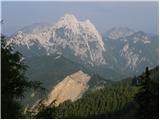 24
24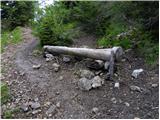 25
25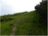 26
26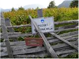 27
27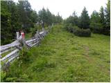 28
28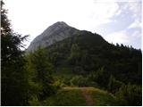 29
29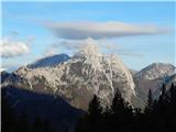 30
30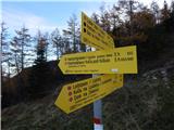 31
31 32
32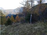 33
33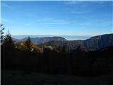 34
34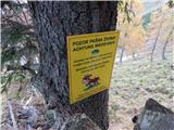 35
35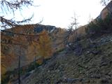 36
36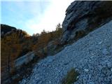 37
37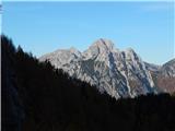 38
38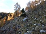 39
39 40
40 41
41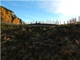 42
42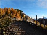 43
43 44
44 45
45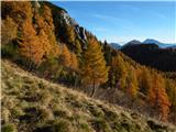 46
46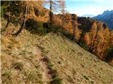 47
47 48
48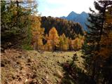 49
49 50
50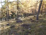 51
51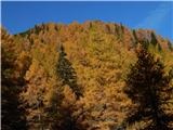 52
52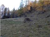 53
53 54
54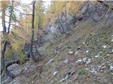 55
55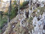 56
56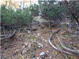 57
57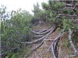 58
58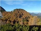 59
59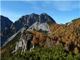 60
60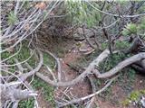 61
61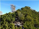 62
62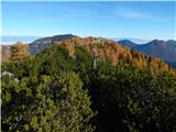 63
63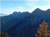 64
64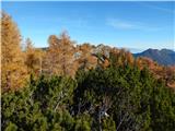 65
65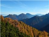 66
66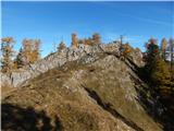 67
67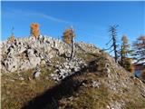 68
68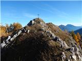 69
69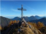 70
70 71
71
Discussion about the trip Koncentracijsko taborišče - Hajnžev Praprotnik / Zeller Prapotnik
To post a comment you must log in:
If you do not yet have a username, you must first
register.