Črna na Koroškem - Najevska lipa
Starting point: Črna na Koroškem (574 m)
| Latitude/Longitude: | 46,47040°N 14,85000°E |
| |
Walking time: 2 h 10 min
Difficulty: easy marked way
Elevation gain: 482 m
Elevation difference along the route: 605 m
Map: Kamniške in Savinjske Alpe 1:50.000
Recommended equipment (summer):
Recommended equipment (winter): ice axe, crampons
Views: 101
 | 1 person like this post |
Access to starting point:
First, we drive to Ravne na Koroškem (to here from Dravograd or Slovenj Gradec), then we continue driving towards Mežica and Črna na Koroškem. When we arrive in Črna na Koroškem, we park somewhere suitable in the center of the town.
The starting point can also be reached from the direction of Šoštanj or the Spodnje Sleme pass.
Route description:
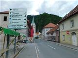
From the place where we parked, we first walk to the center of Črna na Koroškem, where there is a monument, bus station and parish church of St. Ožbalt. From the town center, where there is also a roundabout and a larger number of mountaineering direction signs, we continue towards Najevska lipa. We soon leave the settlement center and climb to the cemetery, which we bypass on the right side, from the cemetery along the ski slope and on a worse road we continue just a few more minutes, then go left onto the cart track, where slightly further we notice the mountaineering signs for Najevska lipa. This is followed by some traverse ascent to the left, then we leave the cart track and head sharply right onto the path that climbs to the ridge, which lies higher and leads us across the pasture area. When we leave the pasture area, we climb to the Kogelnik farm, where slightly below it is the zipline landing site, we continue through the courtyard, where we walk on the road for a short time. Behind the farm, we go slightly right from the road to the footpath, along which we climb through the forest to the road, and when we reach the other road, we cross it transversely to the left.
We continue to follow the signs for Najevska lipa, but the path becomes quite steep further on and especially when descending in wet conditions dangerous for slipping. Higher up we cross a wider cart track, then the steepness of the path begins to ease. A traverse ascent to the left follows, and we reach the ridge of Ludranski vrh southeast of the highest point of the peak, at a smaller saddle, where we also step onto a wide cart track.
We continue along the marked path (if continuing right, we can climb to Ludranski vrh in 15 minutes), which begins to descend along a forest clearing, and at several forks we follow the markings, which lead us lower to the road, reaching it near the nearby house. Here we continue left, bypass the house on the lower right side, then after a few minutes of further walking arrive at Najevska lipa.
Description and photos refer to the condition in July 2025.

Photos:
 1
1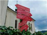 2
2 3
3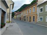 4
4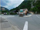 5
5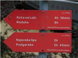 6
6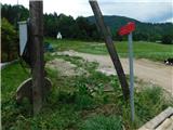 7
7 8
8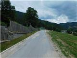 9
9 10
10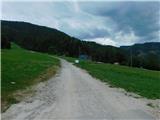 11
11 12
12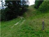 13
13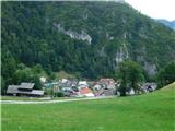 14
14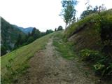 15
15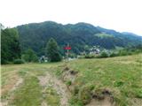 16
16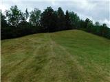 17
17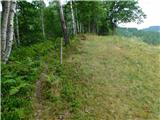 18
18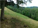 19
19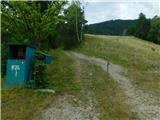 20
20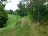 21
21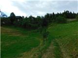 22
22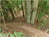 23
23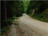 24
24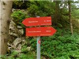 25
25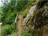 26
26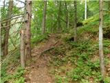 27
27 28
28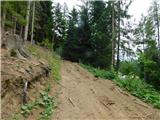 29
29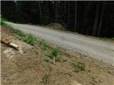 30
30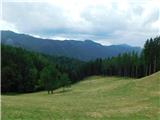 31
31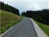 32
32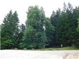 33
33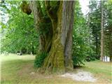 34
34
Discussion about the trip Črna na Koroškem - Najevska lipa
To post a comment you must log in:
If you do not yet have a username, you must first
register.