Črni Kal - Zavetišče gorske straže na Jelencih
Starting point: Črni Kal (1103 m)
| Latitude/Longitude: | 46,17240°N 14,12430°E |
| |
Walking time: 1 h
Difficulty: easy marked way
Elevation gain: 82 m
Elevation difference along the route: 200 m
Map: Škofjeloško in Cerkljansko hribovje 1:50.000
Recommended equipment (summer):
Recommended equipment (winter):
Views: 6.919
 | 2 people like this post |
Access to starting point:
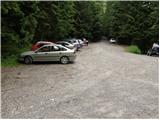
From Škofja Loka we drive towards Gorenja vas. Just before Gorenja vas, after the bus stop we turn right into Poljane. From there we follow the road marked Javorje. Here we turn left and follow the signs towards Blegoš (well marked). When we reach the intersection of several roads we are at Črni Kal, where we park in the parking lot.
Route description:
From the parking lot we head onto the road above which it says "from here on we walk on foot". Right at the mentioned sign, the signs for Blegoš direct us right onto a wide footpath, which after a few steps leads us up to a forest road. We follow the road to the right and walk along it for quite some time. After about half an hour of walking, a footpath branches off to the left to Koča na Blegošu, but we continue along the road and follow it to the intersection of several roads. At the mentioned intersection we notice signs for Zavetišče na Jelencih, which direct us onto a wide path that begins to descend transversely through the forest. At the point where the path branches off to the right towards the village of Laze, we continue slightly left and after a few minutes of descent we arrive at Zavetišče gorske straže na Jelencih.
Photos:
 1
1 2
2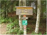 3
3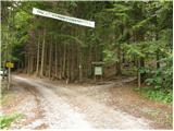 4
4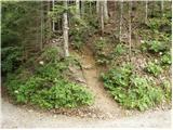 5
5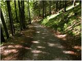 6
6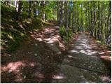 7
7 8
8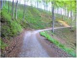 9
9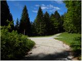 10
10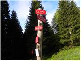 11
11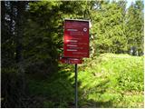 12
12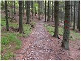 13
13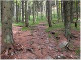 14
14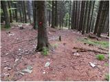 15
15 16
16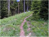 17
17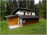 18
18
Discussion about the trip Črni Kal - Zavetišče gorske straže na Jelencih
To post a comment you must log in:
If you do not yet have a username, you must first
register.