Starting point: Črnivec (902 m)
| Latitude/Longitude: | 46,26080°N 14,70240°E |
| |
Walking time: 1 h 45 min
Difficulty: no data
Elevation gain: 415 m
Elevation difference along the route: 550 m
Map: Kamniške in Savinjske Alpe 1:50.000
Recommended equipment (summer):
Recommended equipment (winter): ice axe, crampons
Views: 15.030
 | 1 person like this post |
Access to starting point:
From Kamnik we drive towards Gornji Grad or vice versa. When we arrive at the mountain pass Črnivec, we park on the parking lot by the information boards. Parking in front of the nearby inn is permitted only for guests.
Route description:
Opposite the inn Gostišče GTC 902 Črnivec, at the water filling station 902, we notice the mountain signposts, and we head on the path in the direction of Veliki Rogatec, Lepenatka and the top of Kašna planina (Kranjska reber). It is best to start on the macadam road which branches off from the main road towards the north, and from it we go left already after a few steps, on the path which starts to ascend through swampy terrain. Initially the swampy path continues through the area where years ago (13 July 2008) there was a strong gale, today after artificial planting the slope is regrowing. Because the trees are still low, in summer the undergrowth and bushes grow strongly, therefore the path on this section is quite overgrown in summer. On the quite overgrown path we walk to the place where we cross the road, then on the other side we continue on the cart track, which is also still quite overgrown. When we cross the road for the second time, we arrive at the upper part of the slope where the gale raged, so the path ahead is less overgrown. On this section the path also levels out somewhat and turns somewhat to the right, where it first crosses the stream, then continues through mostly spruce forest. A little further we cross another road, then we ascend diagonally through the forest, the path takes us past a smaller spring to the saddle Na križu, where an unmarked path from Kališa joins from the left.
We continue straight on the marked path, which ascends somewhat more steeply, then crosses the pasture fence and brings us out of the forest, where an unmarked path from the pass Volovljek joins almost unnoticeably from the left.
Here we continue straight and with nice views we walk a few minutes on the indistinct cart track, from which we soon go right on the mountain path, on which we quickly ascend to a smaller watering place for animals. From the watering place there follows a few minutes of moderate ascent and the increasingly scenic path brings us to the top of Kranjska reber, where there is a registration box.
After we rest and enjoy the views, we continue on the path in the direction of Lepenatka. The path ahead starts to descend moderately along the indistinct northeastern ridge of Kranjska reber, then past some watering places it brings us to the hut on Kašna planina.
Črnivec - Kranjska reber 1:30, Kranjska reber - Kašna planina 15 minutes.
Description and pictures refer to the condition in 2016 (July).

Photos:
 1
1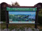 2
2 3
3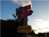 4
4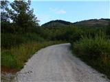 5
5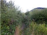 6
6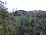 7
7 8
8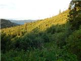 9
9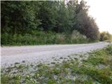 10
10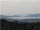 11
11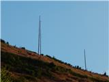 12
12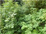 13
13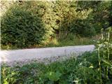 14
14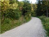 15
15 16
16 17
17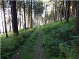 18
18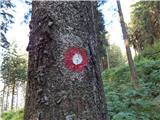 19
19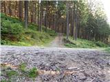 20
20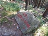 21
21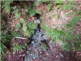 22
22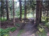 23
23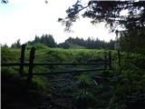 24
24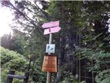 25
25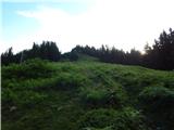 26
26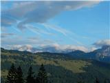 27
27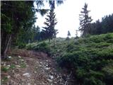 28
28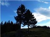 29
29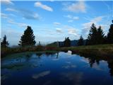 30
30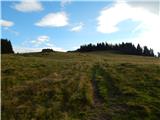 31
31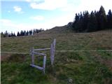 32
32 33
33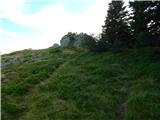 34
34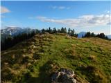 35
35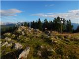 36
36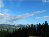 37
37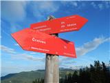 38
38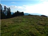 39
39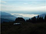 40
40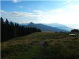 41
41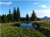 42
42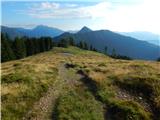 43
43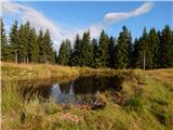 44
44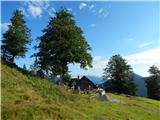 45
45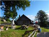 46
46
Discussion about the trip Črnivec - Kašna planina
|
| rober28. 12. 2020 |
Nice regards,
Madam, with whom we talked about mushrooms below the summit of Kašna planina, or. return by road on Saturday, please contact on zs, because I have a surprise for you  . .
Have a nice day, R
|
|
|
To post a comment you must log in:
If you do not yet have a username, you must first
register.