Crveni Vrh - Sveti Petar (nad Crvenim Vrhom) (on IPP)
Starting point: Crveni Vrh (40 m)
| Latitude/Longitude: | 45,49194°N 13,53869°E |
| |
Route name: on IPP
Walking time: 20 min
Difficulty: easy marked way
Elevation gain: 34 m
Elevation difference along the route: 40 m
Map:
Recommended equipment (summer):
Recommended equipment (winter):
Views: 201
 | 1 person like this post |
Access to starting point:
Leave the Primorska motorway at the Koper exit and continue towards Dragonja and Pula. Drive through Srgaše and Dragonja, then arrive in Croatia through the Dragonja border crossing. Follow the signs for the motorway and drive along it only to the first Umag exit. Then continue left towards Umag. Drive to the right turn-off for Crveni Vrh / Monte Rosso. When arriving in the village, we will see an information board on the start of the Istrian Mountain Trail, where the described trail begins. Park somewhere nearby.
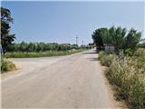
Route description:
From the starting point, proceed past the sign for the start of the Istrian Mountain Trail. The asphalt road gently descends through the village to a junction, where markings and a signpost direct us right onto a gravel road. The road begins ascending the slope of the nearby Glavica peak. Past vineyards and olive groves amid ever-improving views, we reach a small woodland where a path branches right to the ruins of St. Peter's Church. Continue to an unmarked junction, proceeding straight ahead (right is also possible, but bypasses the control point), and within a few minutes arrive at the control point on the right side of the road.
Description and photos refer to the status in June 2025.
Photos:
 1
1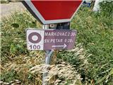 2
2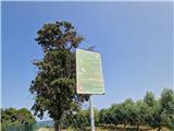 3
3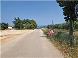 4
4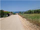 5
5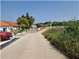 6
6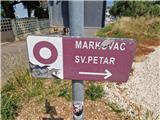 7
7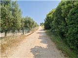 8
8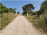 9
9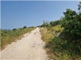 10
10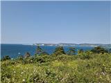 11
11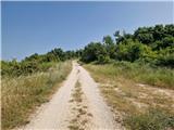 12
12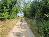 13
13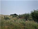 14
14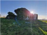 15
15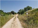 16
16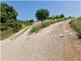 17
17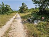 18
18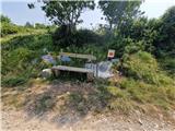 19
19
Discussion about the trip Crveni Vrh - Sveti Petar (nad Crvenim Vrhom) (on IPP)
To post a comment you must log in:
If you do not yet have a username, you must first
register.