Dekani - Goli hrib (east path)
Starting point: Dekani (63 m)
| Latitude/Longitude: | 45,54920°N 13,81260°E |
| |
Route name: east path
Walking time: 40 min
Difficulty: easy marked way
Elevation gain: 154 m
Elevation difference along the route: 160 m
Map: Primorje in Kras 1:50.000
Recommended equipment (summer):
Recommended equipment (winter):
Views: 947
 | 1 person like this post |
Access to starting point:
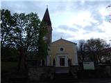
We leave the Ljubljana - Koper motorway at the Dekani exit, then follow the signs for the mentioned settlement. For some time we drive on the old road, then drive towards the centre of Dekani, where we park on the parking lot near the parish church of the Assumption of Mary.
Route description:
In the centre of Dekani, near the Mercator store, we notice an information board of the circular path Dekani - Tinjan - Dekani. We continue past the store, where from the crossroads we continue right (slightly left path of the return of the circular path), and then at the crossroads we follow the signs for Tinjan, or the circular path. Further on, the road first becomes macadam, and a little higher it changes into a cart track. From the wide cart track, from which we get some views towards the coast, we soon go right onto a footpath, which entirely flattens out. We walk for a few minutes without major changes in elevation, then at the bench with table the path turns left and starts to ascend. For a few minutes we ascend more steeply on the occasionally panoramic path, then we reach Goli hrib, where there is the next bench with a table.
The description and pictures refer to the condition in 2018 (April).
Photos:
 1
1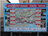 2
2 3
3 4
4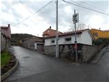 5
5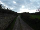 6
6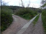 7
7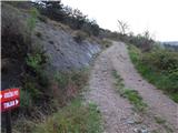 8
8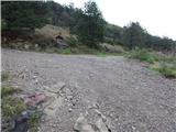 9
9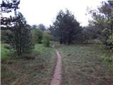 10
10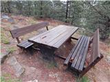 11
11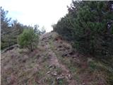 12
12 13
13 14
14 15
15 16
16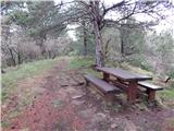 17
17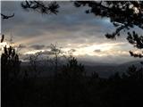 18
18
Discussion about the trip Dekani - Goli hrib (east path)
To post a comment you must log in:
If you do not yet have a username, you must first
register.