Divača (Lokavska cesta) - Risnik sinkhole (karstology natural learning trail)
Starting point: Divača (Lokavska cesta) (430 m)
| Latitude/Longitude: | 45,67840°N 13,96650°E |
| |
Route name: karstology natural learning trail
Walking time: 1 h 15 min
Difficulty: easy marked way
Elevation gain: -64 m
Elevation difference along the route: 85 m
Map:
Recommended equipment (summer):
Recommended equipment (winter):
Views: 3.900
 | 1 person like this post |
Access to starting point:
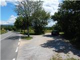
We leave the Primorska highway at the Divača exit, and then at the roundabout we take the exit in the direction of Lipica and Divača. After the Risnik industrial zone we go left in the direction of Sežana, Lipica, Divača and Vilenica cave (straight - old road towards Ljubljana and Postojna), and then at the next roundabout we drive in the direction of Lokev and Lipica. Further, we drive on Lokavska cesta, and soon, after a smaller right turn, we notice on the left a smaller parking lot and next to it the information sign of the Risnik karst sinkhole. Because we are not allowed to turn left here, we drive a little further on the main road, then at the side road we turn around and return to the mentioned parking lot.
Route description:
Signs for the karstology natural learning trail point us towards the east, on a footpath which continues above the walls of the sinkhole. The path leads us a little left from the precipice, and occasionally it gets closer to it and from the edge of the precipice a nice view opens up on the Risnik sinkhole. A gently sloping path, which is not marked but is marked at the junctions with tourist signs, after a few minutes brings us to the southeastern part of the sinkhole, from where from the vantage point there is a nice view on the sinkhole, and the view reaches all the way to the Alps. After the learning sign "travnik", the path passes into a belt of bushes and forest, and at the junctions we follow the signs of the learning trail. A little further, we arrive at the next learning board "spodmol Triglavca", a few minutes further we reach a poor forest road, which we follow to the right. Further, the road turns right and approaches the railway track, at the next learning board we leave it and go right onto the forest path (if we continue straight we can arrive at Divaška jama). We continue through the forest, at the next board the path forks. We continue straight, or we can go left and make a detour to the Kraški Radvanj valley (if we decide for the extension, we return to the junction). There follows some more walking through the forest, then the path starts to ascend more noticeably (until now there were some shorter easy descents). There follow some more junctions, where we follow the signs, then along the path which runs to the right of the main road, we arrive at the start or end of the circular path.
Description and pictures refer to the condition in 2018 (June).

Photos:
 1
1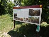 2
2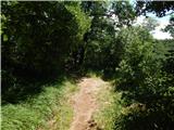 3
3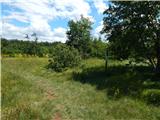 4
4 5
5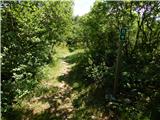 6
6 7
7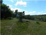 8
8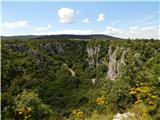 9
9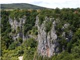 10
10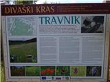 11
11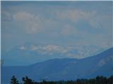 12
12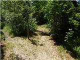 13
13 14
14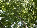 15
15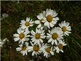 16
16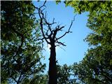 17
17 18
18 19
19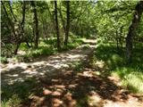 20
20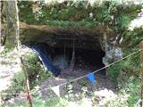 21
21 22
22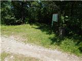 23
23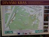 24
24 25
25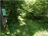 26
26 27
27 28
28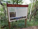 29
29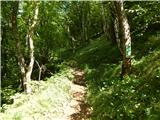 30
30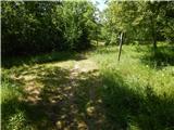 31
31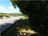 32
32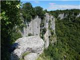 33
3334
Discussion about the trip Divača (Lokavska cesta) - Risnik sinkhole (karstology natural learning trail)
To post a comment you must log in:
If you do not yet have a username, you must first
register.