Divje jezero - Vojsko (via Prižnica)
Starting point: Divje jezero (338 m)
| Latitude/Longitude: | 45,98250°N 14,02730°E |
| |
Route name: via Prižnica
Walking time: 5 h
Difficulty: easy marked way
Elevation gain: 739 m
Elevation difference along the route: 1020 m
Map: Idrijsko in Cerkljansko 1:50.000
Recommended equipment (summer): helmet
Recommended equipment (winter): helmet, ice axe, crampons
Views: 3.765
 | 1 person like this post |
Access to starting point:
a) First we drive to Logatec, then continue driving towards Idrija. When the most winding part of the road towards Idrija ends, we reach the hamlet of Podroteja, where we leave the main road and continue driving left towards Divje jezero and Idrijska Bela. We drive a few 100 m further, then park in the parking lot by the information boards for the nearby Divje jezero.
b) From Most na Soči or Podbrdo we drive to the village of Bača pri Modreju, then continue driving towards Idrija and further towards Logatec. At the end of Idrija, more precisely at the hamlet of Podroteja, we leave the main road and continue driving right towards Divje jezero and Idrijska Bela. We drive a few 100 m further, then park in the parking lot by the information boards for the nearby Divje jezero.
Route description:
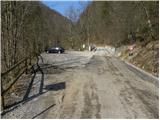
From the parking lot at Divje jezero we continue along the road, but we walk along it only a few 10 m, then the trail markers by the Rakas direct us right onto a footbridge, across which we walk to the other side of the Idrijca. On the other side of the Idrijca we reach a walking path, which we follow to the left (right Idrija). We continue along a gentle path that runs alongside a channel through which water flows. The channel was built for the needs of a mine pump. At the weir, which we reach after a few minutes, the channel ends, and we continue along a wide path that runs alongside the Idrijca river. Further on we cross quite steep slopes, but since the path is wide enough it does not cause us problems on dry ground. A little further we reach a marked junction, where a path branches off to the right towards the summit of Struga, but we continue straight ahead in the same direction. Just a little further another path from the road where we parked lower joins from the left (this path is part of the ICPP and further leads towards Zadlog - access along this path is disabled due to a closed footbridge (March 2012)), but here too we continue straight and follow the transverse path to the nearby bench, by which there are direction signs.
Here we continue right and begin to ascend first moderately, then steeply through the forest. Higher up the path levels out and turns left, where it continues through a karstified area surrounded by sparse shrubbery (area called Modrasovše). We continue the transverse ascent to the left and the path leads us to a beautiful viewpoint at Prižnica (as written on the rock, the true Prižnica is supposed to be somewhat higher and slightly set back from the hiking path), from which a beautiful view opens over the Zgornja Idrijca landscape park and the Idrijca river deep below.
We continue past the bench and follow the path that gradually begins to descend transversely. After a short gentle descent we reach a cart track, where the markers direct us sharply to the right. We continue the ascent along the cart track, which further ascends moderately through the forest, and higher up approaches a rocky edge that is somewhat set back from the path (if we wish we can walk to the edge of "Prižnica", from which a beautiful and precipitous view opens). Higher up the marked path on the right side bypasses the nearby meadows, then ascends to the Zagrebenc farm.
From the farm we continue slightly right and over the meadow ascend to the 763 m high Zagrebenc (on maps also Čekovnik).
From Zagrebenc, from which a beautiful view towards the Golaki opens, we first descend to a grassy saddle, then ascend to another less prominent summit. Here we first cross a short stretch of forest, then with a view of Hleviška planina we begin to descend towards the nearby asphalt road, which we merely cross. For a short time we continue along a gravel road that leads to a nearby residential house, but we soon continue slightly left onto a relatively steep path that higher up levels out and leads us to a marked junction. We continue straight towards Hleviše and a little higher cross another gravel road. The path ahead ascends transversely through the forest for some time, then leads us onto grassy slopes, over which we ascend in a few minutes to the Koča na Hleviški planini.
From the hut we continue in the direction of Hleviška planina and continue the ascent along a path that enters the forest and begins to ascend steeply. The path ahead initially leads along the edge of the ridge, then gradually enters a small valley, where it also levels out and along which we ascend to the summit of Hleviška planina.
From Hleviška planina we continue along the scenic ridge, then the path turns left and begins to descend steeply. When the steepness eases, an unmarked path branches off sharply to the right back towards the Koča na Hleviški planini, but we continue straight and follow the path that continues along and beside the ridge connecting Hleviška planina with the neighboring summit. We continue the path with a few ascents and descents, mostly through the forest. The previously mentioned neighboring summit Blaškova planina we bypass on the right side, then the path returns to the forested ridge, where after a further gentle descent we reach a marked junction.
Here we continue straight (left down Tratnik and Idrijske klavže) and the path, which continues further through the forest, gradually turns into a cart track. The cart track, which slowly turns more and more to the right, soon bypasses Mohoričev vrh (975 m) on the right side. On the other side of the mentioned summit the cart track widens further and leads us to a nearby residential house, which we bypass on the right side, as the path leads under the canopy of a nearby garage. We continue along the cart track that crosses a scenic meadow, which is located above a few residential houses of the nearby hamlet. The path ahead returns to the forest for a short time, then descends to an asphalt road, which we follow to the right to the nearby junction.
At the junction, by which there are information boards, we continue left in the direction of Vojsko (right Idrija) and continue along the asphalt road. The path ahead leads us across Kočevše, where on the left side in the middle of meadows we can observe rocky solitaires (čoki, Trdini). We continue along the road that enters a belt of forest, then the road levels out again and leads us to a smaller junction, where a road branches off to the right to the nearby tourist farm Pri belem kamnu. Here too we continue straight and at all subsequent junctions likewise. The road, which occasionally continues through the forest, mostly across extensive meadows, with views of the Trnovski gozd and surrounding hills, after approximately one hour of further walking leads us to the church of St. Joseph at Vojsko, from where a beautiful view also opens towards the Škofjeloško and Cerkljansko hribovje and with good visibility also towards the Julijske Alpe.

The trip can be extended to the following destinations: Hudournik
Photos:
 1
1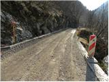 2
2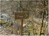 3
3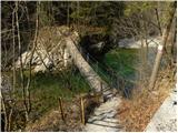 4
4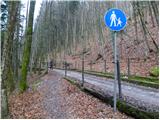 5
5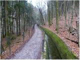 6
6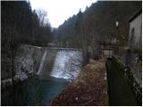 7
7 8
8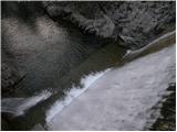 9
9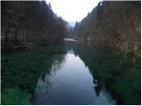 10
10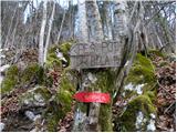 11
11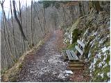 12
12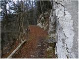 13
13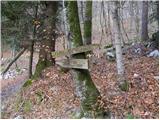 14
14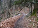 15
15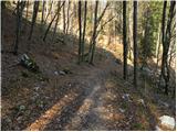 16
16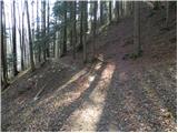 17
17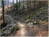 18
18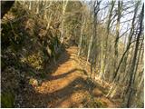 19
19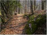 20
20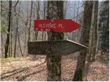 21
21 22
22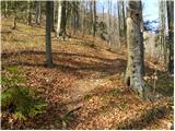 23
23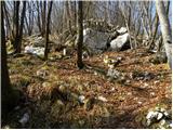 24
24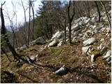 25
25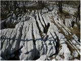 26
26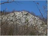 27
27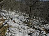 28
28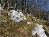 29
29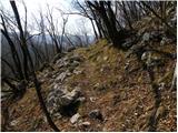 30
30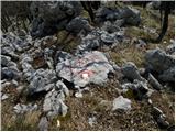 31
31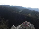 32
32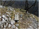 33
33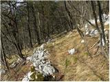 34
34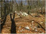 35
35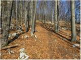 36
36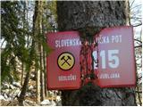 37
37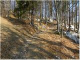 38
38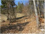 39
39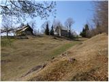 40
40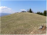 41
41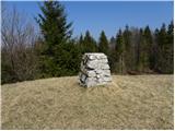 42
42 43
43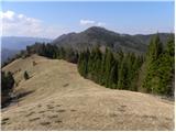 44
44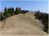 45
45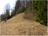 46
46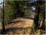 47
47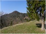 48
48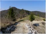 49
49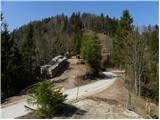 50
50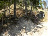 51
51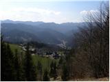 52
52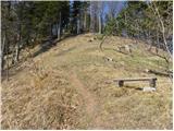 53
53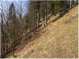 54
54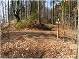 55
55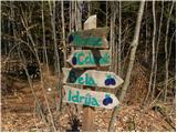 56
56 57
57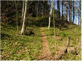 58
58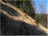 59
59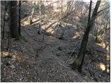 60
60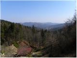 61
61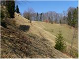 62
62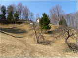 63
63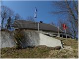 64
64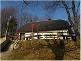 65
65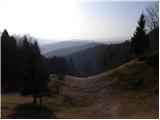 66
66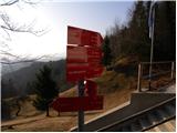 67
67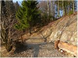 68
68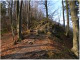 69
69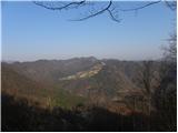 70
70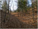 71
71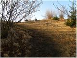 72
72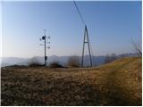 73
73 74
74 75
75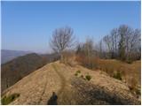 76
76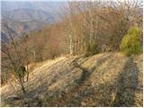 77
77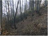 78
78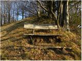 79
79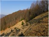 80
80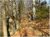 81
81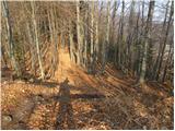 82
82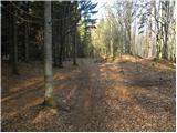 83
83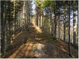 84
84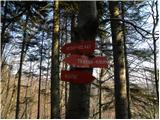 85
85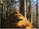 86
86 87
87 88
88 89
89 90
90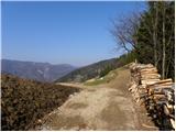 91
91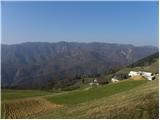 92
92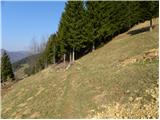 93
93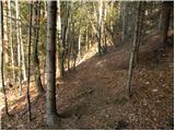 94
94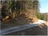 95
95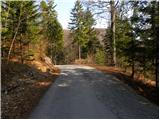 96
96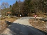 97
97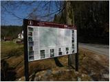 98
98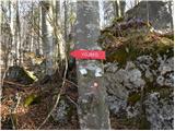 99
99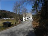 100
100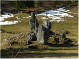 101
101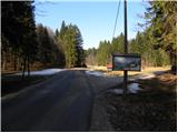 102
102 103
103 104
104 105
105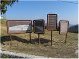 106
106 107
107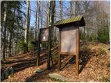 108
108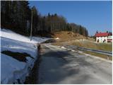 109
109 110
110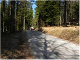 111
111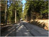 112
112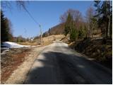 113
113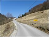 114
114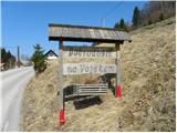 115
115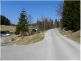 116
116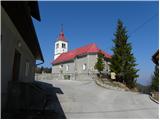 117
117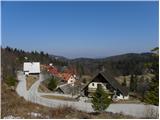 118
118
Discussion about the trip Divje jezero - Vojsko (via Prižnica)
To post a comment you must log in:
If you do not yet have a username, you must first
register.