Dobrnič - Trebni vrh (via Šahovec)
Starting point: Dobrnič (242 m)
| Latitude/Longitude: | 45,87690°N 14,97730°E |
| |
Route name: via Šahovec
Walking time: 1 h 45 min
Difficulty: easy marked way
Elevation gain: 339 m
Elevation difference along the route: 355 m
Map:
Recommended equipment (summer):
Recommended equipment (winter):
Views: 2.425
 | 1 person like this post |
Access to starting point:
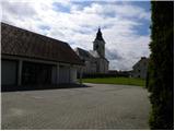
A) We leave the Ljubljana–Novo mesto highway at the Trebnje–west exit, then continue driving towards Žužemberk and Dobrnič. When we arrive in Dobrnič, still before the church we turn left onto the parking lot by the cemetery.
B) First we drive to Žužemberk, then continue driving towards Trebnje and Dobrnič. When we arrive in Dobrnič, at the intersection by the church we continue left and then immediately right towards the nearby cemetery, where we park on the well-maintained parking lot.
Route description:
From the parking lot, we return to the main road, where we continue left to the inn Pr Lubčku, where we notice signs for Baragova pot, which direct us onto a somewhat narrower road that continues among houses. Dobrnič soon ends, and at a few smaller crossroads we continue slightly right all the way to the village Lokve pri Dobrniču.
The path ahead, which still continues along the road, leads us among fields, then through a strip of forest, where it temporarily steeply ascends and higher among pastures. Higher, the path leads us past one more cross, after which we arrive in the village Šahovec. At the intersection in the middle of the village (by the intersection there is a traffic mirror) we continue left onto an even narrower road, which leads us past a few more houses. The village quickly ends, and along the road that continues by the field we arrive at a smaller pond, where we leave the road and continue left onto a footpath, which further on is not marked but is relatively frequently indicated with signs of Baragova pot.
From the pond we go left and continue along the edge of the forest on a cart track, which enters the forest. Baragova pot is initially quite easy to follow, as it runs along a cart track or forest road. A little higher we leave the cart track, as signs for Baragova pot direct us onto a short section of the path where the trail is harder to follow and overgrown, but if we carefully follow the signs we will soon reach another cart track, along which we continue the moderate ascent. Further on, the cart track levels out even more and brings us out of the forest to the edge of the village Vrhtrebnje.
We reach the village near the church of St. James, in front of which we continue right towards the marker of the 15th meridian and the hunting lodge, to which we have only a minute's walk.
From the hunting lodge we continue along the macadam road, which we soon leave, and continue left onto the forested cart track, along which we ascend to Trebni vrh.

Photos:
 1
1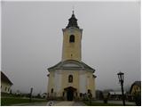 2
2 3
3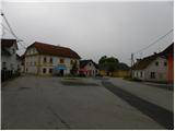 4
4 5
5 6
6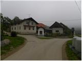 7
7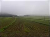 8
8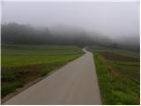 9
9 10
10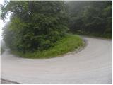 11
11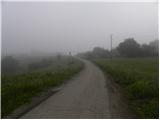 12
12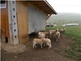 13
13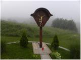 14
14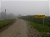 15
15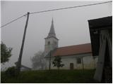 16
16 17
17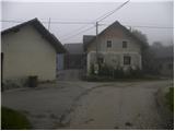 18
18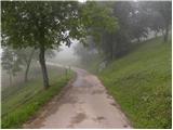 19
19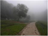 20
20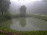 21
21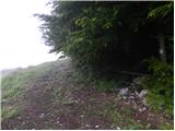 22
22 23
23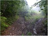 24
24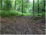 25
25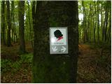 26
26 27
27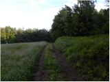 28
28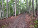 29
29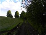 30
30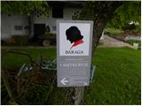 31
31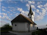 32
32 33
33 34
34 35
35 36
36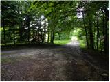 37
37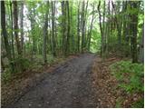 38
38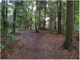 39
39 40
40
Discussion about the trip Dobrnič - Trebni vrh (via Šahovec)
To post a comment you must log in:
If you do not yet have a username, you must first
register.