Dobropoljana - Veliki Bokolj
Starting point: Dobropoljana (15 m)
| Latitude/Longitude: | 43,94270°N 15,34180°E |
| |
Walking time: 1 h
Difficulty: easy marked way
Elevation gain: 259 m
Elevation difference along the route: 259 m
Map:
Recommended equipment (summer):
Recommended equipment (winter):
Views: 152
 | 1 person like this post |
Access to starting point:
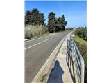
a) Leave the Zagreb–Split motorway at the Zadar east exit and continue on the expressway to Gaženica port (Zadar). There board the ferry to Ugljan island (Preko). From Preko port continue driving towards Tkon town. Arrive at Pašman island via the bridge connecting both islands, and after a short drive reach Dobropoljana settlement. The trail start is located near the bus stop. As orientation at the trail start serve a small strip of reeds, a small bridge and a few large pines.
b) Pašman island can also be reached by ferry from Biograd na Moru town, but connections are less frequent than from Zadar. In this case from Tkon, where the ferry docks, drive towards Ugljan island until reaching Dobropoljana.
Route description:
From the trail start walk along the asphalt road. Orientation is easy, as the summit is always directly ahead. The road leads through olive groves and the upper part of Dobropoljana settlement.
After one bend the path turns slightly south and becomes steeper. Along the path notice the highest-lying farm in the village, asphalt surface gives way to concrete here. After about twenty minutes of ascent reach a short stretch of forest.
Immediately after exiting the forest arrive at a junction, turn right. Walk for a while on a maintained gravel road, then back on concrete surface. The path ascends gently to moderately steeply to the summit in two serpentines and one long bend.
At the summit we are rewarded with exceptional views in all directions. Near the summit there are telecommunications facilities and a small rest area, no summit logbook.
Photos:
 1
1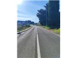 2
2 3
3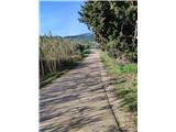 4
4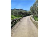 5
5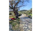 6
6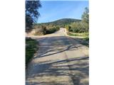 7
7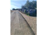 8
8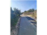 9
9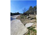 10
10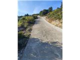 11
11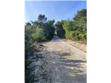 12
12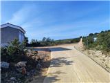 13
13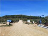 14
14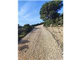 15
15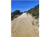 16
16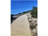 17
17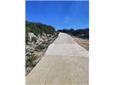 18
18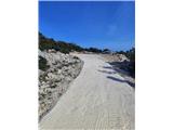 19
19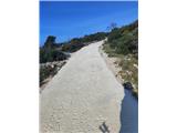 20
20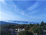 21
21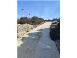 22
22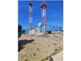 23
23 24
24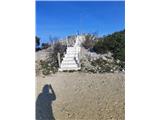 25
25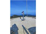 26
26
Discussion about the trip Dobropoljana - Veliki Bokolj
To post a comment you must log in:
If you do not yet have a username, you must first
register.