Dobrova - Vrhe above Dobrova
Starting point: Dobrova (321 m)
| Latitude/Longitude: | 46,05680°N 14,41120°E |
| |
Walking time: 50 min
Difficulty: easy unmarked way
Elevation gain: 282 m
Elevation difference along the route: 295 m
Map: Ljubljana - okolica 1:50.000
Recommended equipment (summer):
Recommended equipment (winter): crampons
Views: 8.439
 | 2 people like this post |
Access to starting point:
A) From the Ljubljana-Koper highway, take the Brezovica exit, then continue driving towards Dobrova. From the roundabout in Dobrova, continue in the direction of Polhov Gradec, then after 100 m turn left into the center of the settlement. Just a few dozen meters ahead, turn right onto Emila Adamiča Street, and in all subsequent intersections follow the signs for the primary school, next to which we also park.
B) First, drive to Horjul, then continue driving towards Dobrova. When you arrive in the mentioned settlement, just a little past the church of St. Mary turn left into the compact part of the settlement. Through Dobrova, follow the signs for the primary school, next to which we then also park.
C) From Polhov Gradec, drive towards Ljubljana, but only to the settlement Dobrova. In Dobrova, turn right towards the center of the settlement, then after a few dozen meters turn right onto Emila Adamiča Street, and in all subsequent intersections follow the signs for the primary school, next to which we also park.
Route description:
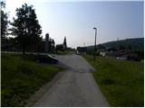
From the parking lot at the primary school, we head along a narrower asphalt road to the nearby chapel and smaller cross. At the chapel the road turns right, we continue straight on the footpath, which continues on the right side of the chapel. The path first ascends across a short meadow, then the path enters the forest. We continue the ascent on a well-beaten but unmarked path, which subsequently ascends moderately through the forest. During the ascent, we follow the best-beaten path, which crosses several cart tracks or runs on and beside them. Higher up, the path, which all the time runs along an indistinct ridge, flattens and for a while passes onto a more distinct ridge. After a shorter easy section, the path moderately ascends again and brings us to the forest-covered Jazbina (604 m).
Follows a short descent, then in a gentle ascent we climb to the summit of Vrhe, which we recognize by numerous inscriptions, wish bell, summit logbox, table, benches...

Along the route: Jazbina (604m)
Photos:
 1
1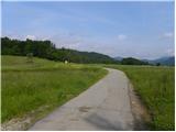 2
2 3
3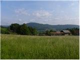 4
4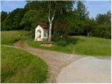 5
5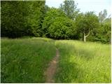 6
6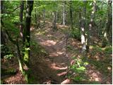 7
7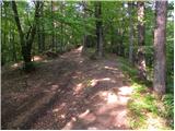 8
8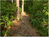 9
9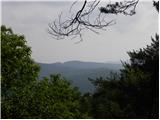 10
10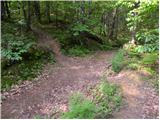 11
11 12
12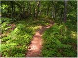 13
13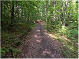 14
14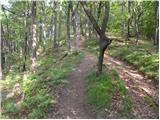 15
15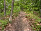 16
16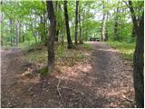 17
17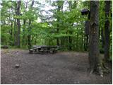 18
18 19
19
Discussion about the trip Dobrova - Vrhe above Dobrova
To post a comment you must log in:
If you do not yet have a username, you must first
register.