Dol - Ruš (on southwest ridge)
Starting point: Dol (850 m)
| Latitude/Longitude: | 46,38260°N 14,44450°E |
| |
Route name: on southwest ridge
Walking time: 2 h 15 min
Difficulty: partly demanding unmarked way
Elevation gain: 764 m
Elevation difference along the route: 764 m
Map: Karavanke - osrednji del 1:50.000
Recommended equipment (summer):
Recommended equipment (winter): ice axe, crampons
Views: 3.657
 | 1 person like this post |
Access to starting point:
From the highway Ljubljana - Jesenice we go to the exit Kranj - east and we follow the road ahead in the direction of Jezersko, but only to the inn Kanonir, where we turn left. Further, we follow at first the still asphalted road but only to the approximately 2 km distant crossroad, where the road to Stegovnik branches off to the right. We go on this road, which we follow a few 100 meters to a gate, where we park on a smaller parking lot.
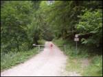
Route description:
From the gate we follow the forest road which after approximately 20 minutes brings us to a crossroad. We go right and we follow the road also to a bigger grassy clearing on which stands a house. Here we go straight on a footpath following the signs Stegovnik (left Stegovnik through the window, unmarked path). The path ascends a little and it brings us to a cart track. Here we carefully look for blazes and we have to be careful that the cart track doesn't mislead us. After that, the path a few more times crosses a cart track and it brings us on a saddle Močnikovo sedlo together with the cart track.
Here on the saddle we go sharply left and on a wide path already after a few steps we come to the next crossing. We go again left in the direction Stegovnik. The path soon brings us on the other cart track. This is the cart track on which we were walking already before the saddle. We follow this cart track for approximately 5 minutes to the spot where the path to Stegovnik branches off to the right upwards. After the initial ascent path quickly becomes gentle and in traverse towards the right brings us to a torrent gully. Here the path starts ascending steeply by the torrent, which in the upper part crosses and brings us on the other side. Here the steepness again decreases and the path through a nice forest brings us to a saddle named Pri lojtri.
Here we continue sharply right in the direction of Brsnine (left - Javornik, straight - Stegovnik) on a marked path which at first moderately ascends through a dense forest and then it flattens and brings us on a cart track which the marked path only crosses, and we follow it to the right. On the cart track we at first walk to a smaller panoramic saddle, and from there we continue slightly left on a worse footpath to the nearby southwestern ridge of Ruš. We continue the ascent on a worse but easy to follow footpath which continues on and by the already mentioned ridge. Higher, the path ascends on a short very steep slope, where mainly in wet there is a danger of slipping. On the top of this steep part we step on a secondary peak, from which follows a short descent and then an ascent on the main peak of Ruš.

Along the route: Močnikovo sedlo (1315m), Pri lojtri (1486m)
Photos:
 1
1 2
2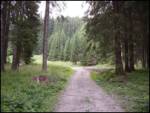 3
3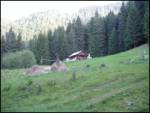 4
4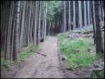 5
5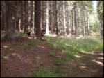 6
6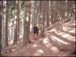 7
7 8
8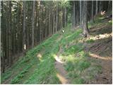 9
9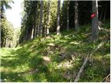 10
10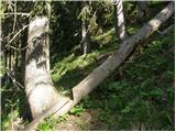 11
11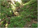 12
12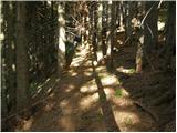 13
13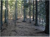 14
14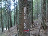 15
15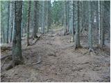 16
16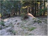 17
17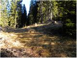 18
18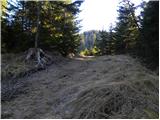 19
19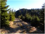 20
20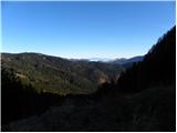 21
21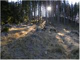 22
22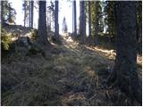 23
23 24
24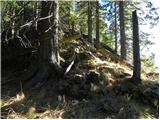 25
25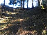 26
26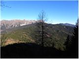 27
27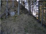 28
28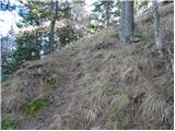 29
29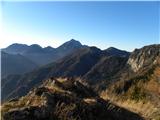 30
30 31
31 32
32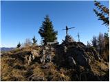 33
33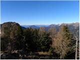 34
34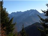 35
35
Discussion about the trip Dol - Ruš (on southwest ridge)
To post a comment you must log in:
If you do not yet have a username, you must first
register.