Starting point: Dolenja Brezovica (375 m)
| Latitude/Longitude: | 45,94750°N 14,42840°E |
| |
Walking time: 2 h 10 min
Difficulty: easy marked way
Elevation gain: 732 m
Elevation difference along the route: 745 m
Map: Ljubljana - okolica 1:50.000
Recommended equipment (summer):
Recommended equipment (winter): crampons
Views: 13.787
 | 1 person like this post |
Access to starting point:
From the Ljubljana–Koper highway, take the Brezovica exit, then continue driving towards Podpeči. In Podpeči, continue right towards Krim, Rakitna, Preserje and Borovnica. Soon, signs for Rakitna direct us left onto a steep ascending road that quickly brings us to Preserje. Here the road first descends, then brings us to a crossroads where we join the road leading from the village Kamnik pod Krimom. Here we continue sharply left towards Rakitna, but we follow the main road to the end of the village Preserje, where at the bus stop we notice signs for Dolenja Brezovica. We continue in the mentioned direction; a somewhat narrower but always asphalted road quickly brings us to Dolenja Brezovica, which is the starting point for our tour. At the starting point there are no suitable parking spots (we can park in Preserje, which extends the path by 20 to 30 minutes).
Route description:
Through the village we follow the markings, which at the chapel direct us right onto a macadam road; there beyond the playground we continue left onto a cart track that begins to ascend transversely. The cart track first ascends through a belt of bushes, then ascends somewhat more steeply and brings us to the main road leading towards Rakitna.
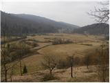
We carefully cross the main road, then continue on the macadam road, which after a short ascent turns sharply left. There follows a winding ascent on the forest road, which higher also crosses some larger meadows. The marked road higher descends briefly, then turns slightly to the left and begins to ascend moderately. We walk along the road for a few more minutes, then signs for Krim direct us slightly left onto an ascending cart track. We continue the ascent on the cart track, which gradually begins to ascend more steeply through the forest; higher it joins the path from Preserje.
Here we continue right and continue ascending on the cart track, which crosses some forest roads and cart tracks. Higher the path flattens completely for a short time and joins the path leading from the villages Vrbljene, Tomišelj and Strahomer.
Further ahead we ascend steeply for a short time, then the path flattens and runs for some time through dense forest, almost without elevation changes. After a few minutes the marked path turns right and begins to ascend transversely towards the right. Higher the path turns left, where it flattens, then only a short ascent towards the right follows and the path brings us to the macadam road leading to Krim. We follow the road to the left, which after good 10 minutes of further walking brings us to a large parking lot and turning point below the summit of Krim. Here we continue right and via the road or footpath reach the summit of Krim in 3 minutes.

Photos:
 1
1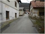 2
2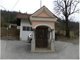 3
3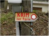 4
4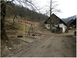 5
5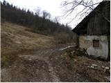 6
6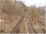 7
7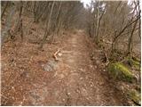 8
8 9
9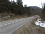 10
10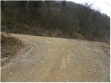 11
11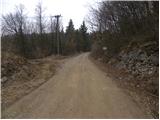 12
12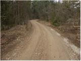 13
13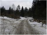 14
14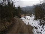 15
15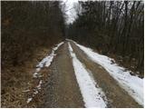 16
16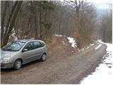 17
17 18
18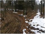 19
19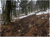 20
20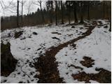 21
21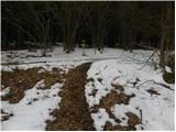 22
22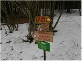 23
23 24
24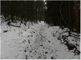 25
25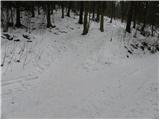 26
26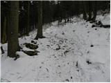 27
27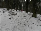 28
28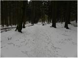 29
29 30
30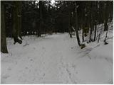 31
31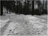 32
32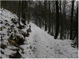 33
33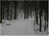 34
34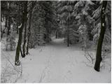 35
35 36
36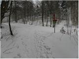 37
37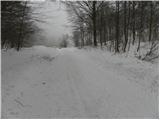 38
38 39
39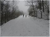 40
40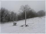 41
41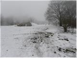 42
42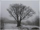 43
43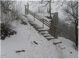 44
44 45
45
Discussion about the trip Dolenja Brezovica - Krim
|
| balon31. 08. 2013 |
We have two children and the trail of 2 hours 10 min one way is too strenuous for them. Which route should I take to get to picture 17, if driving from Domžale and how much walking time from that picture to the top.
Thanks to all 
|
|
|
|
| laik31. 08. 2013 |
Just via bypass/motorway-exit BREZOVICA-left towards Vrhnika-at Brezovica at the traffic light intersection left towards Podpeči-to Podpeči at the half-built roundabout right (direction Preserje/Rakitna).....then just on the asphalt road Preserje and then Rakitna....time-wise it's.....say a good hour......"balon", I think I owe you a "report from Kokrsko sedlo"..it will happen, I just need to get up there.... best regards to all..please correct me on the timetable
|
|
|
|
| balon1. 09. 2013 |
Thanks and thanks again
|
|
|
|
| julius1. 09. 2013 |
Balon@
You didn't get the correct answer to the asked question!
When you leave the village Preserje, drive towards the village Gorenja Brezovica (don't turn right to Dolenja Brezovica) About a kilometer further in the direction of Rakitna, there will be a branch of the forest road on the left side (picture 10 in the above description). Then drive along the road to picture 17. Up to picture 17 there are no branches where you could get lost.
If you continue driving on the forest road, after about two kilometers you will come to the next starting point (on the left side of the road), which leads to Krim past the shelter at Kavcu.
All paths are exemplary marked and directional signs are at all trail junctions.
|
|
|
|
| laik1. 09. 2013 |
julius, you're right......read superficially, I thought the question referred to the path from Domžale to the starting point.....@balon sorry @julius thanks
|
|
|
|
| balon1. 09. 2013 |
thanks to both , newbie, as soon as I reach Kokrsko sedlo I'll post the pictures , newbie, as soon as I reach Kokrsko sedlo I'll post the pictures
|
|
|
|
| balon21. 09. 2013 |
today we were at the hut. Julius thanks for the precise instructions regarding the path. The path is wonderful, at times long as a summer snake.
Summary; we recommend it to all families with children over 4 years old.
|
|
|
To post a comment you must log in:
If you do not yet have a username, you must first
register.