Starting point: Dolenja Dobrava (404 m)
| Latitude/Longitude: | 46,10030°N 14,15100°E |
| |
Walking time: 1 h 30 min
Difficulty: easy marked way
Elevation gain: 497 m
Elevation difference along the route: 510 m
Map: Škofjeloško in Cerkljansko hribovje 1:50.000
Recommended equipment (summer):
Recommended equipment (winter): crampons
Views: 5.330
 | 1 person like this post |
Access to starting point:
A) From Žirov or Škofja Loka we drive to Gorenja vas, in Gorenja vas from the roundabout at the Petrol gas station we turn in the direction of Vrhnika and Horjul. When we get to Dolenja Dobrava we will notice the inn Gostilna Jager on the right, and a little further a road branches off to the right towards the village Dobravšce. At the mentioned crossroad the described path begins. At the starting point there are no arranged parking spaces.
B) From Horjul or Polhov Gradec we drive to Lučin, and then we start descending towards Gorenja vas. When we get to Dolenja Dobrava a road branches off to the left towards the village Dobravšce. At the mentioned crossroad, where there are no arranged parking spaces, the described path begins.
Route description:
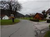
We start the path in the center of Dolenja Dobrava, from where we head in the direction of the settlement Dobravšce. At first we walk past a few more houses in Dolenja Dobrava, then quite unnoticeably we arrive in Dobravšce, where a little further from the chapel we reach a junction of three roads, where we choose the middle road. We continue walking on the asphalt road, then at the spot where the asphalt road turns slightly right, we continue straight on a grassy cart track. We continue the path on the grassy cart track, along which in a few minutes we arrive at the Dršak stream, which we also cross over the footbridge. On the other side of the stream the path still leads us along the cart track and soon turns left and splits. We continue on the right cart track, higher up we follow the best-trodden path. Higher we cross a few more cart tracks and an asphalt road, then at the junctions we follow the blazes, which in the lower part are very rare or there are none at all. A little further the path flattens and brings us out of the forest past an interesting tree, where to the right of the nearby homestead we cross an asphalt road once again. The path ahead leads us past a wayside shrine, after which the path temporarily returns to the forest.
When we step out of the forest we reach the next asphalt road, where from the right a path from Gorenja vas joins us, but we continue on the upper road in the direction of the hunting hut. Above the mentioned junction a path from Žirov also joins from the right, but we continue left and past the summit reach the hunting hut on Javorč.
The description and pictures refer to the condition in 2017 (November).

Photos:
 1
1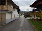 2
2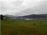 3
3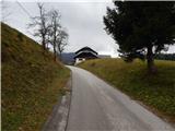 4
4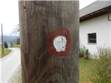 5
5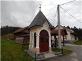 6
6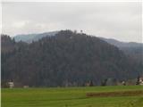 7
7 8
8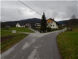 9
9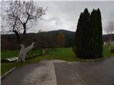 10
10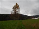 11
11 12
12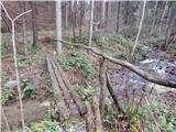 13
13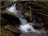 14
14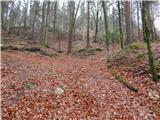 15
15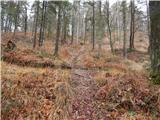 16
16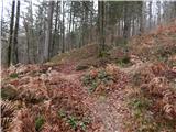 17
17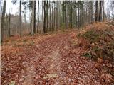 18
18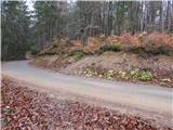 19
19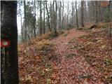 20
20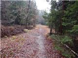 21
21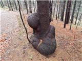 22
22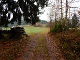 23
23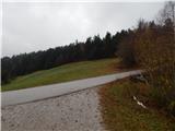 24
24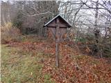 25
25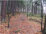 26
26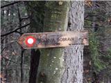 27
27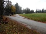 28
28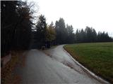 29
29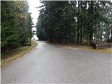 30
30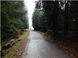 31
31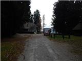 32
32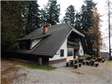 33
33 34
34
Discussion about the trip Dolenja Dobrava - Javorč
|
| TMravinec21. 02. 2024 10:30:27 |
Status as of 17.2.2024: The bridge in picture 13 was washed away by the flood of summer 2023. The stream can be crossed on rocks, but caution is advised.
|
|
|
To post a comment you must log in:
If you do not yet have a username, you must first
register.