Dolenja vas (Kosmulj) - Ključ
Starting point: Dolenja vas (Kosmulj) (400 m)
| Latitude/Longitude: | 46,05790°N 14,36290°E |
| |
Walking time: 1 h 10 min
Difficulty: easy marked way
Elevation gain: 223 m
Elevation difference along the route: 265 m
Map: Ljubljana - okolica 1:50.000
Recommended equipment (summer):
Recommended equipment (winter):
Views: 5.948
 | 1 person like this post |
Access to starting point:
From the Ljubljana - Koper highway we go to the Brezovica exit, then we continue driving in the direction of Dobrova near Ljubljana. From the roundabout in Dobrova we continue towards Polhov Gradec, and we follow the road to the settlement Dvor, where only a little before the end of the village we continue left in the direction of Dolenja vas. Further, we cross Gradaščica, and after a few 100 meters we get to the houses in Dolenja vas. Here we continue on the "main" road (to the left the road towards Babna Gora branches off), which higher up ascends more steeply, crosses a strip of forest, then flattens and over a larger meadow brings us to the homestead Kosmulj. Here we will get to a smaller crossroads beside which we notice mountain signposts for Ključ. We park on an appropriate place by the crossroads, if there is no space here, we ask the locals for an appropriate parking spot.
Route description:
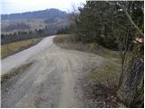
From the starting point we head onto the macadam road in the direction of Ključ. The road ends behind the houses, and we continue on the marked cart track, which goes into the forest. We ascend the cart track only for a short time, since then the blazes direct us slightly to the right onto a marked footpath, which initially ascends parallel to the cart track. We continue the ascent on the marked footpath, along which in 10 minutes of additional walking we arrive at the top.
From Bezenica we continue on the marked path, which begins to descend moderately slightly to the right. After a short descent we join an old cart track, along which we continue first level and then with moderate ascent. Further on, due to numerous junctions, we carefully follow the blazes; the path brings us after a few minutes of additional walking to a smaller ridge, at the top of which we reach the grave of the killed young partisan.
The path ahead descends slightly for a short time, then brings us to a junction where the path splits into two parts. We can continue along the left flatter one or the right somewhat steeper path. After 10 minutes the two paths join and bring us to a marked junction below the summit of Ključ.
Here we continue straight ahead (left: Dom na Ključu) and after 10 minutes of additional walking, which takes place through the forest the whole time, we arrive at the top of Ključ.

Photos:
 1
1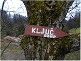 2
2 3
3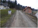 4
4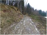 5
5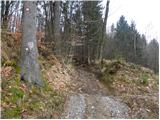 6
6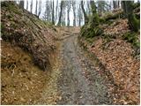 7
7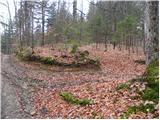 8
8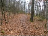 9
9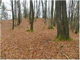 10
10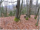 11
11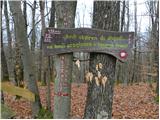 12
12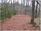 13
13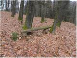 14
14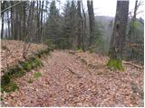 15
15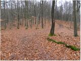 16
16 17
17 18
18 19
19 20
20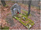 21
21 22
22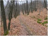 23
23 24
24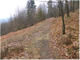 25
25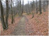 26
26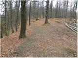 27
27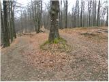 28
28 29
29 30
30 31
31 32
32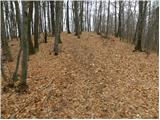 33
33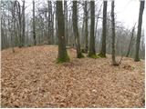 34
34 35
35
Discussion about the trip Dolenja vas (Kosmulj) - Ključ
|
| navdušena19. 12. 2025 08:36:42 |
Is the Dom na Ključu open on weekends? Who can I ask?
|
|
|
|
| navdušena19. 12. 2025 08:36:54 |
Is the Dom na Ključu open on weekends? Who can I ask?
|
|
|
To post a comment you must log in:
If you do not yet have a username, you must first
register.