Starting point: Dolina Krma (944 m)
| Latitude/Longitude: | 46,38510°N 13,90710°E |
| |
Walking time: 3 h 45 min
Difficulty: easy marked way, easy pathless terrain
Elevation gain: 1149 m
Elevation difference along the route: 1168 m
Map: Triglav 1:25.000
Recommended equipment (summer):
Recommended equipment (winter): ice axe, crampons
Views: 250
 | 1 person like this post |
Access to starting point:
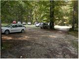
a) We leave the Gorenjska motorway at the Hrušica exit and continue on the road towards Kranjska Gora. Just before the village of Dovje, a road branches off to the left from the main road, leading to Mojstrana (Vrata, Kot and Krma). We continue on the road towards the village of Radovna and the valleys of Krma and Kot. The relatively steep road then takes us past the TNP sign, after which the road soon levels out and brings us to a junction where a gravel road branches off to the right into the Kot valley. We continue straight on the road, which begins to descend. In the middle of the descent, a road branches off to the right into the Krma valley (straight ahead Radovna). A little further on we come to the next junction, where we continue right towards Krma. The gravel road then takes us to the Kovinarska hut, and we follow it further. Occasionally a slightly worse road then takes us to the parking lot in front of the barrier.
b) We drive to Kranjska Gora, then continue driving towards Jesenice. At Dovje we leave the main road and continue right towards Mojstrana and the valleys of Vrata, Kot and Krma, and at the following junctions we follow the signs for Krma. The relatively steep road then takes us past the TNP sign, after which the road soon levels out and brings us to a junction where a gravel road branches off to the right into the Kot valley. We continue straight on the road, which begins to descend. In the middle of the descent, a road branches off to the right into the Krma valley (straight ahead Radovna). A little further on we come to the next junction, where we continue right towards Krma. The gravel road then takes us to the Kovinarska hut, and we follow it further. Occasionally a slightly worse road then takes us to the parking lot in front of the barrier.
Route description:
From the last parking lot in the Krma valley, called Pri lesi, we continue on the worse road, which continues through the valley and soon brings us to a clearing where we bypass the nearby object on the left side. We continue on the gravel path, which approaches the torrent and crosses it a little further on. On the other side of the torrent the path enters the forest and initially ascends gently, then for some time quite steeply. Higher up, we leave the forest and enter a belt of dwarf pines and shrubs, and from the path we are offered beautiful views of the nearby rock faces of the peaks, which descend more gently on the other side towards Pokljuka.
Higher up, at an altitude of a little over 1400 m, the path temporarily levels out and brings us to the beautiful grassy plain Vrtača.
After the grassy section the path begins to ascend again on a path that is often quite slippery in this section, which levels out on the plain Malo polje.
Here the path turns right and forks.
To the left a path branches off towards the Bohinjska vrata and Vodnikov dom on Velo polje, while we continue straight and lightly continue along the foot of Vernar to the spring with a trough.
After the trough the path forks, and we continue straight on the marked path (left unmarked shortcut to the Zgornja Krma pasture). This is followed by a moderate, higher also somewhat steeper ascent through a sparse, partly larch forest. Higher up the path turns left and levels out, and from the left the previously mentioned shortcut also joins.
After the joining of both paths we quickly arrive at the shepherd's hut on the Zgornja Krma pasture, called Prgarca.
From here the path continues in a moderate ascent towards the west and brings us to the last spring along the path, and above the spring the path forks again.
To the left the path continues over Kurica and leads towards Konjsko sedlo and Dom Planika pod Triglavom, while to the right paths lead to Kredarica and Staničev dom pod Triglavom.
We choose the left path, which leads below the peak of Kurica and begins to ascend ever more steeply. A few minutes higher we arrive at a short rocky step, where the path becomes even steeper and especially in wet conditions also dangerous for slipping. Above the rocky step the steepness gradually eases, and the path also turns a little more to the left. A little further the slope temporarily becomes somewhat steeper, and we continue in a slight traverse ascent to Konjsko sedlo, where there is a junction of several paths.
We continue left in the direction of Vodnikov dom, where we soon see our goal - the mountain Cesar. After about 250 meters of walking from Konjsko sedlo, still before the first via ferrata, we turn left from the marked path onto the grassy slope onto a poorer visible path, which soon disappears a little higher. We continue upwards along the least steep ridge of Cesar, where rocky and grassy surfaces alternate. We soon arrive at the plateau-like summit of Cesar.
Krma - Zgornja Krma 2:30, Zgornja Krma - Konjsko sedlo 1:00, Konjsko sedlo - Cesar 0:15.

Photos:
 1
1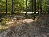 2
2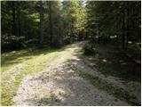 3
3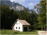 4
4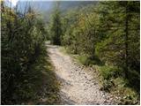 5
5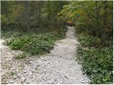 6
6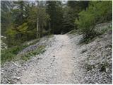 7
7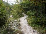 8
8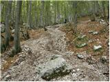 9
9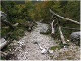 10
10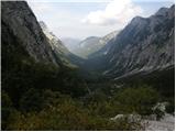 11
11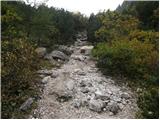 12
12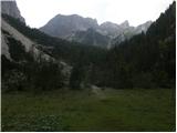 13
13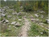 14
14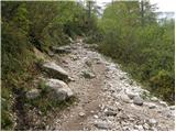 15
15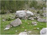 16
16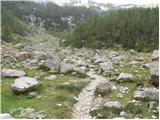 17
17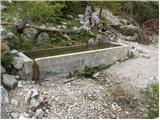 18
18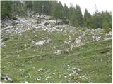 19
19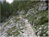 20
20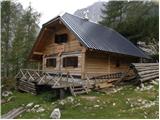 21
21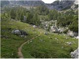 22
22 23
23 24
24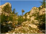 25
25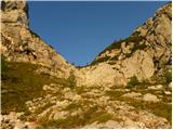 26
26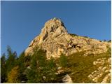 27
27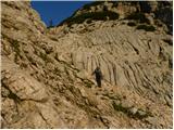 28
28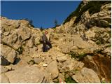 29
29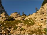 30
30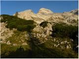 31
31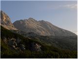 32
32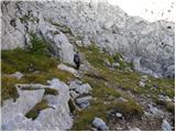 33
33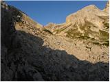 34
34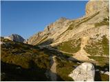 35
35 36
36 37
37 38
38 39
39 40
40 41
41 42
42 43
43 44
44 45
45 46
46 47
47 48
48 49
49 50
50 51
51
Discussion about the trip Dolina Krma - Cesar
To post a comment you must log in:
If you do not yet have a username, you must first
register.