Dom Planica - Mojčin dom na Vitrancu (hunting path)
Starting point: Dom Planica (931 m)
| Latitude/Longitude: | 46,47840°N 13,72700°E |
| |
Route name: hunting path
Walking time: 2 h 20 min
Difficulty: partly demanding unmarked way, easy marked way
Elevation gain: 624 m
Elevation difference along the route: 750 m
Map: Kranjska Gora 1:30.000
Recommended equipment (summer):
Recommended equipment (winter): ice axe, crampons
Views: 5.650
 | 1 person like this post |
Access to starting point:
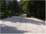
From Kranjska Gora, we drive towards the border crossing Rateče or vice versa, and then at the crossroad where the road towards Planica branches off, we turn into Planica. Just before we get to the large macadam parking lots, we turn left towards the Olympic Sports Centre Dom Planica. We park at an appropriate place by the mentioned hut, or we can also park on one of the previously mentioned parking lots in Planica.
Route description:
From Dom Planica we walk to the nearby boules court, above which we step on the gravel of the nearby torrent. Further, we ascend gently for a few minutes along the mentioned torrent, after which the cairn directs us left into a belt of dwarf pines, where we step onto a nicely maintained, but unmarked hunting path.
The path, which further starts to ascend more steeply through the forest, brings us after approximately 15 minutes of walking from the starting point to a smaller wooden log cabin, which in an emergency serves as a smaller bivouac, otherwise it is intended for cameramen during ski jumps or flights in Planica. At the log cabin the path temporarily passes onto a smaller ridge, which soon ends on steep forested slopes. When the path enters dense forest it turns right and starts to ascend steeply. Higher the path flattens and gradually transitions to fairly steep slopes that are especially dangerous for slipping when wet. Across these slopes continues a fairly gentle path, which is usually nicely cleared of leaves, so that the path in dry conditions does not present any major danger to us. After a few minutes of traversing, a somewhat (actually quite) more difficult, but marked path from Planica joins us from the right (option for descent to Planica).
From the junction we continue on the marked mountain path in the direction of Ciprnik and Vitranc. The path ahead again starts to ascend steeply and somewhat higher turns right, quickly bringing us to a panoramic ridge. For some time we ascend along the ridge, from which a nice view opens onto the rugged slopes of Ciprnik as well as Jalovec and the Ponc ridge. Higher the path passes into the forest for a while, then returns to a partly exposed ridge and panoramic ridge. Further the path returns to the forest, where it ascends steeply for a while, then brings us to the main ridge of Ciprnik, where we join the Vitranc - Ciprnik path, which we follow to the left (right to Ciprnik peak 20 minutes).
We continue along the Vitranc ridge, from which we occasionally get some views, otherwise we mostly walk through forest. Further on we ascend moderately a few times, then after the highest point of the Vitranc ridge we slowly begin to descend. The descents are relatively short, as they are occasionally interrupted by a short ascent. After crossing the old single-seater lift Vitranc II, the path from Kranjska Gora joins from the left, and we continue straight ahead and arrive at Mojčin dom na Vitrancu in a few dozen steps.

Along the route: Vitranc (1631m)
Photos:
 1
1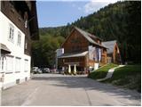 2
2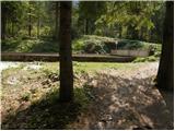 3
3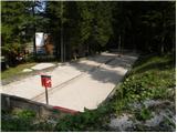 4
4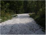 5
5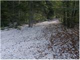 6
6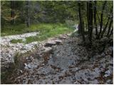 7
7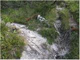 8
8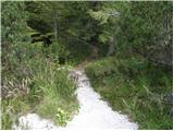 9
9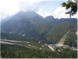 10
10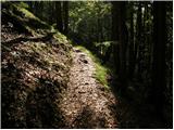 11
11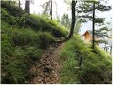 12
12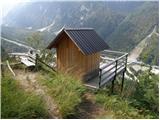 13
13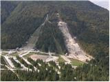 14
14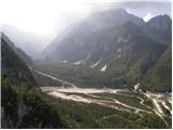 15
15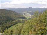 16
16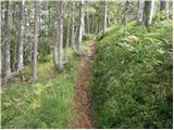 17
17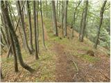 18
18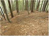 19
19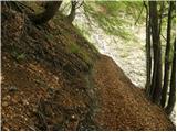 20
20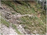 21
21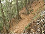 22
22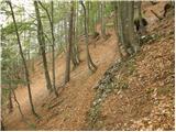 23
23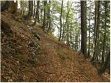 24
24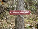 25
25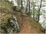 26
26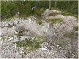 27
27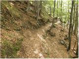 28
28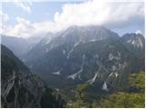 29
29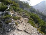 30
30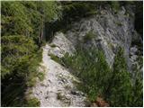 31
31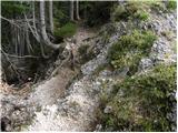 32
32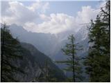 33
33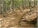 34
34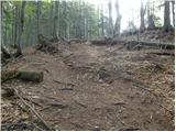 35
35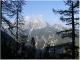 36
36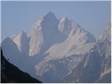 37
37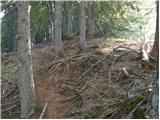 38
38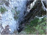 39
39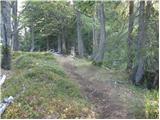 40
40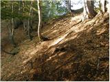 41
41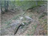 42
42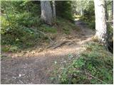 43
43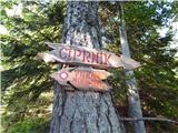 44
44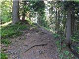 45
45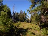 46
46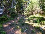 47
47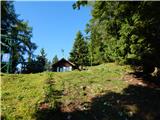 48
48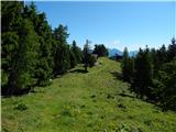 49
49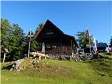 50
50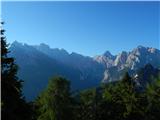 51
51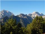 52
52
Discussion about the trip Dom Planica - Mojčin dom na Vitrancu (hunting path)
To post a comment you must log in:
If you do not yet have a username, you must first
register.