Dom pod Storžičem - Okno v Stegovniku (eastern way)
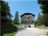
Starting point: Dom pod Storžičem (1123 m)
| Latitude/Longitude: | 46,35860°N 14,39060°E |
| |
Route name: eastern way
Walking time: 2 h 50 min
Difficulty: partly demanding marked way
Elevation gain: 353 m
Elevation difference along the route: 555 m
Map: Karavanke - osrednji del 1:50.000
Recommended equipment (summer): helmet
Recommended equipment (winter): helmet, ice axe, crampons
Views: 20
 | 0 people like this post |
Access to starting point:
From the Ljubljana - Jesenice motorway take the Ljubelj exit. From this road turn right into Tržič just before the petrol station. Follow the road through Tržič and on the other side of Tržič turn right towards Lom pod Storžičem. Follow this road towards the signs for Dom pod Storžičem. Park in the parking lot a few metres before the mountain hut.
Route description:
From the parking lot near Dom pod Storžičem head to the left road in the direction of Javorniško sedlo, Jezersko, Tič, Rekar and Grahovše. After a few steps the road forks, we continue slightly right towards Javorniški preval and gradually begin a moderate ascent.
Higher up, when the road turns into a cart track, leave it and continue right on the marked path which starts to ascend more steeply, crossing the cart track twice more before Javorniški preval, which can also be reached via the cart track. After approximately 1 hour of hiking reach the mentioned pass where there is a sign and stamping box and a junction of several paths.
Here continue left (right Kanonir, sharply right Storžič), after some 10 steps arrive at the next junction. Continue on the slightly right path in the direction of Stegovnik and Močnikovo sedlo (slightly left Planina Javornik).
Continue along the cart track crossing the eastern slopes ahead of the ridge Ženiklovec. After a few minutes of traversing the cart track joins another somewhat wider cart track where continue straight or slightly right and moderately downhill. The cart track soon levels and the path leads us past a collapsing water trough to a scenic grassy slope where we encounter an orienteering loop. At the signpost which is often knocked over leave the cart track and continue left up the grassy slope. After a short ascent the path turns right and continues through spruce forest. The hiking trail then widens into a cart track after a few more minutes of walking which we follow for quite some time (markings in this section are rare and faded). After a while the cart track turns back into a footpath which through the forest brings us to the southern slopes of Mali Javornik.
At the spot where the marked trail leading towards Mačensko sedlo becomes less visible a passage opens to the left towards Mali Javornik, we however continue straight on the marked path which continues crossing the slopes of Mali Javornik on the right side.
The occasionally quite scenic path soon returns to the forest where from the southern slopes it passes to the eastern ones. The path which ahead mostly gently descends brings us after some time to the pass between Mali Javornik and Stegovnik where there is also a junction.
Continue left in the direction of Stegovnik (straight Mačensko sedlo) on the path crossing a belt of tall grass. The path ahead starts to descend gently and in a few minutes brings us to a parallel path which runs along the western slopes of Ženiklovec and Mali Javornik.
Here continue right in the direction of Stegovnik (left Planina Javornik) keeping to the western direction of the ridge, the slope a little further becomes quite steep, the path brings us to the first wire rope with whose help we enter Okno v Stegovniku. In the middle of the window a passage opens to the left towards the second window to which we descend on a short ladder, from there continue right through a smaller window behind which we step to the other side of the ridge.
Descent possible via the western path.
Starting point - Javorniško sedlo 1:00, Javorniško sedlo - junction towards Mali Javornik 1:15, junction towards Mali Javornik - junction at saddle below Stegovnik 0:30, junction at saddle below Stegovnik - junction before window 0:05, junction before window - Okno v Stegovniku 0:05.

Along the route: Javorniški preval (1465m), Odcep proti Malemu Javorniku (1637m), Sedlo pod Stegovnikom (1490m), Razpotje pod Oknom v Stegovniku (1473m)
Photos:
 1
1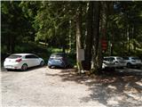 2
2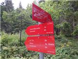 3
3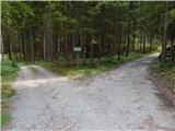 4
4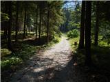 5
5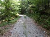 6
6 7
7 8
8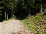 9
9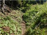 10
10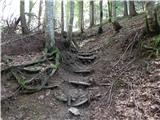 11
11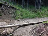 12
12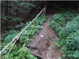 13
13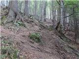 14
14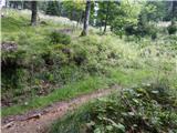 15
15 16
16 17
17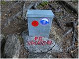 18
18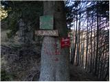 19
19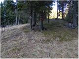 20
20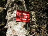 21
21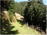 22
22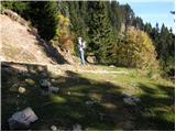 23
23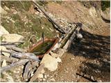 24
24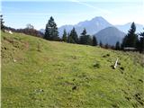 25
25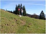 26
26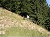 27
27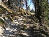 28
28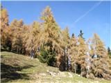 29
29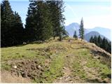 30
30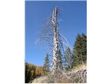 31
31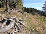 32
32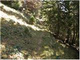 33
33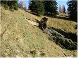 34
34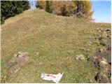 35
35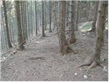 36
36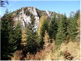 37
37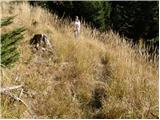 38
38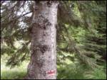 39
39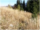 40
40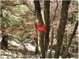 41
41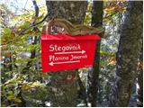 42
42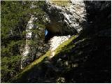 43
43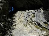 44
44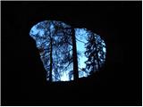 45
45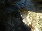 46
46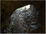 47
47
Discussion about the trip Dom pod Storžičem - Okno v Stegovniku (eastern way)
To post a comment you must log in:
If you do not yet have a username, you must first
register.