Donja Višnjica - Kukelj (direktna strma pot)
Starting point: Donja Višnjica (272 m)
| Latitude/Longitude: | 46,29316°N 16,01199°E |
| |
Route name: direktna strma pot
Walking time: 45 min
Difficulty: easy unmarked way
Elevation gain: 249 m
Elevation difference along the route: 250 m
Map:
Recommended equipment (summer):
Recommended equipment (winter): ice axe, crampons
Views: 121
 | 1 person like this post |
Access to starting point:
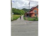
We arrive in Croatia via the Gruškovje/Macelj border crossing. We immediately leave the motorway and head east towards Varaždin, Ivanec, Trakošćan. In Trakošćan, we turn left towards Cvetlin and Višnjica and drive to the village of Donja Višnjica. Donja Višnjica is a sprawling settlement. We can park at the parking lot by the school or by the residential building where there used to be a post office.
Route description:
From where we parked, we continue towards Lepoglava, proceeding to the south of the settlement. Along the main road we reach the Fijačko farm with house number 105b, where we go left uphill on asphalt. There are no markers on this part of the path. The road then takes us through a small hamlet and flattens after a longer right turn. A little further we arrive at a water facility, where we will notice the first markers on a tree.
We continue right uphill on asphalt, but only for about a minute since at the next bend we enter the forest.
In the forest the path is initially gentle then becomes very steep. After the bend we reach a junction where a path from the Zlogonje settlement joins us from the left. The path ahead leads along a forest ride, later it turns into a narrower trail (the ride was carried away by a landslide in this section). When the path turns left we reach a junction where our path joins the path from the village Goranec.
We continue left north along the ridge, but when our path sharply descends on rocky ground we will notice a poorly marked junction. Left is the Tri Žaklji viewpoint (1 minute) we go straight and quickly reach the next junction. Right is an unofficial path to the village Zlogonje, left the official path to the village Donja Višnjica, straight ahead we notice a well-trodden trail which we follow. The trail steeply climbs through denser forest and in a few minutes takes us to the top of Kukelj, the highest peak of the eastern part of Ravna Gora. The summit is in the forest and has no view, only in winter some views open through the treetops to the north towards Ptuj. At the summit there is a small concrete geodetic tower.

Photos:
 1
1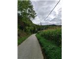 2
2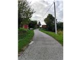 3
3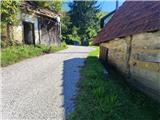 4
4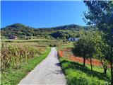 5
5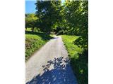 6
6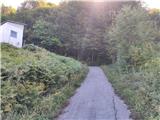 7
7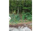 8
8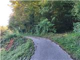 9
9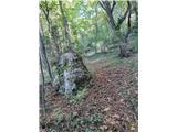 10
10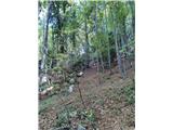 11
11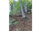 12
12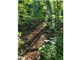 13
13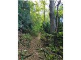 14
14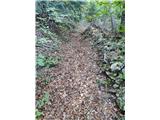 15
15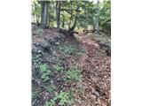 16
16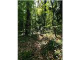 17
17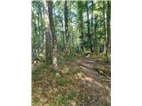 18
18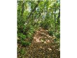 19
19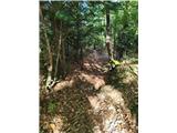 20
20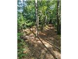 21
21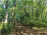 22
22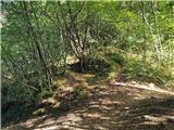 23
23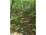 24
24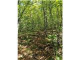 25
25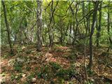 26
26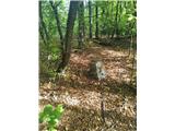 27
27
Discussion about the trip Donja Višnjica - Kukelj (direktna strma pot)
To post a comment you must log in:
If you do not yet have a username, you must first
register.