Donja Višnjica - Kukelj (through Goranec)
Starting point: Donja Višnjica (272 m)
| Latitude/Longitude: | 46,29316°N 16,01199°E |
| |
Route name: through Goranec
Walking time: 1 h 15 min
Difficulty: easy unmarked way
Elevation gain: 249 m
Elevation difference along the route: 260 m
Map:
Recommended equipment (summer):
Recommended equipment (winter): ice axe, crampons
Views: 123
 | 1 person like this post |
Access to starting point:
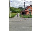
We arrive in Croatia via the Gruškovje/Macelj border crossing. Immediately we leave the motorway and head east towards Varaždin, Ivanec and Trakoščan. In Trakoščan we turn left towards Cvetlin and Višnjica and drive to the village of Donja Višnjica. Donja Višnjica is a sprawling settlement. We can park in the parking lot by the school or by the residential building where the post office used to be.
Route description:
From where we parked, we continue towards Lepoglava, proceeding to the southern part of the settlement. Along the main road we reach the Fijačko farm with house number 105b, where we go left uphill on asphalt. There are no markings on this section of the path. The road then takes us through a small hamlet and levels out after a longer right bend. A bit further, we arrive at a water facility where we notice the first markings on a tree. We continue straight into the forest (left is a steep path to the Tri Žaklji viewpoint), ascending a narrower trail that rises gently. After ten more minutes of walking, we reach a junction where a path branches left to the cliff or Mačkova špilja cave (2 minutes).
We continue straight ahead, and the path transitions from steep slopes to less steep slopes of sparse forest, where there is another junction. Here, an unofficial path from the village Žarovnica joins us.
From the junction, the previously level path begins to ascend more steeply, and after a few more minutes we reach a spring in the Goranec settlement, which also has a small rest area. The path, which has taken us south until now, gradually turns north and leads us to the Maček farm, where we reach the road. On this section, a path from Klenovnik also joins us.
Beyond the last houses in the village, the road turns into a cart track; during the ascent, a transitional view opens to the east, and after the scenic section, the path levels out.
Markings reappear in the forest, and the level path leads us along an indistinct ridge. Higher up, a direct steep path joins from the left. After the junction, there is a short steep descent on rockier ground, then we reach a poorly marked junction.
Here, a path to the Tri Žaklji viewpoint branches left, but we continue straight to the next junction.
To the right, an unofficial path to the village Zlogonje branches off, to the left an official path to the village Donja Višnjica, straight ahead we spot a well-trodden trail which we follow. The trail steeply climbs through denser forest and in a few minutes brings us to the summit of Kukelj, the highest peak of the eastern part of Ravna Gora. The summit is in the forest with no view, only in winter do some views to the north towards Ptuj open through the treetops. At the top there is a small concrete geodetic tower.

Photos:
 1
1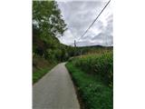 2
2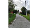 3
3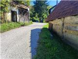 4
4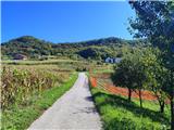 5
5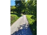 6
6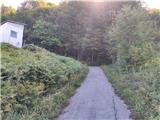 7
7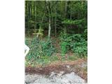 8
8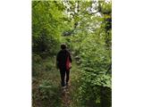 9
9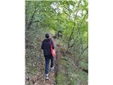 10
10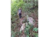 11
11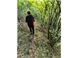 12
12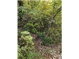 13
13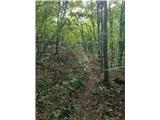 14
14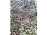 15
15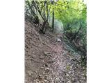 16
16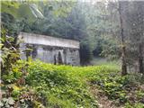 17
17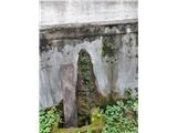 18
18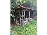 19
19 20
20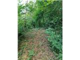 21
21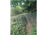 22
22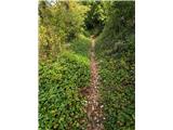 23
23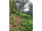 24
24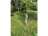 25
25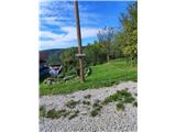 26
26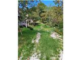 27
27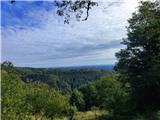 28
28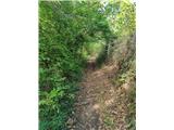 29
29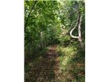 30
30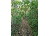 31
31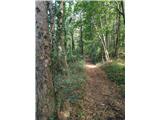 32
32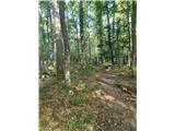 33
33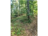 34
34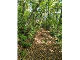 35
35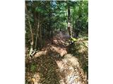 36
36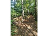 37
37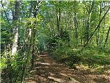 38
38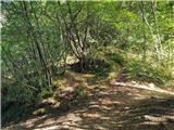 39
39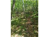 40
40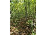 41
41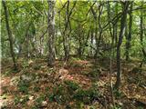 42
42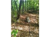 43
43
Discussion about the trip Donja Višnjica - Kukelj (through Goranec)
To post a comment you must log in:
If you do not yet have a username, you must first
register.