Dovje - Kovinarska koča v Krmi
Starting point: Dovje (660 m)
| Latitude/Longitude: | 46,46500°N 13,94480°E |
| |
Walking time: 2 h 10 min
Difficulty: easy marked way
Elevation gain: 210 m
Elevation difference along the route: 300 m
Map: Kranjska Gora 1:30.000
Recommended equipment (summer):
Recommended equipment (winter):
Views: 10.424
 | 1 person like this post |
Access to starting point:
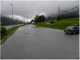
We leave the Gorenjska motorway at the Jesenice - West (Hrušica) exit and continue driving towards Kranjska Gora. At the traffic light between Mojstrana and Dovje, we turn right and park on the parking lot near the monument to Jakob Aljaž.
Route description:
From the parking lot at Aljažev hram we first walk to the traffic light, where we cross the main road Jesenice - Kranjska Gora. On the other side, we start steeply descending to the bridge over the river Sava Dolinka, then continue along the edge of the road or on the sidewalk through Mojstrana. In Mojstrana signs for Kot and Krma point us sharply left and then after a few 10 m also right. Ahead we follow the road which starts gently to moderately ascending above Mojstrana, then temporarily flattens and brings us to a smaller crossroad, where a narrower road branches off to the right towards the gorge Mlačca.
We continue on the main road, which starts ascending more steeply and brings us into the area of Triglav National Park.
A little higher a marked footpath branches off to the left to Jerebikovec, we follow the road past the water catchment area to Kosmačev preval. Here first a tractor track branches off to the right towards Črna gora (later steep footpath) and only a few meters further also a forest road into the Kot valley. We still continue on the asphalt road, which in a gentle descent brings us to a smaller crossroad, where we continue right steeply downwards (direction Kovinarska koča, Pocarjeva domačija and hummocky meadows). After a short descent the road flattens and brings us out of the forest onto the expansive meadows of Zgornje Radovne. We follow the road past a few houses, then arrive at an unmarked crossroad, where we continue right in the direction of house numbers 28 to 43 (straight hummocky meadows and Pocarjeva domačija).
We continue on a macadam road, and with nice views of the surrounding peaks and walls, at all crossroads we follow left or straight. A little further ahead the road enters the forest and becomes worse. Next comes the crossing of a torrent and after a few 10 m of further walking we join a wider macadam road which leads from Pocarjeva domačija.
Here we continue right and after a good 20 minutes of further walking we arrive at Kovinarska koča v Krmi.

Along the route: Mojstrana (641m), Kosmačev preval (847m), Zgornja Radovna (797m)
Photos:
 1
1 2
2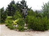 3
3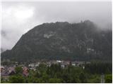 4
4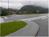 5
5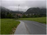 6
6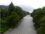 7
7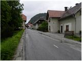 8
8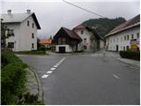 9
9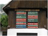 10
10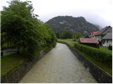 11
11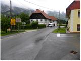 12
12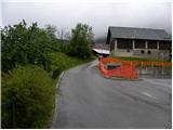 13
13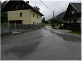 14
14 15
15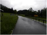 16
16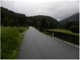 17
17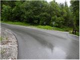 18
18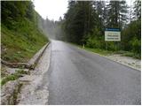 19
19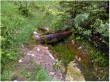 20
20 21
21 22
22 23
23 24
24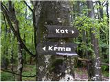 25
25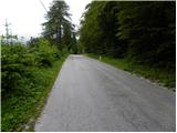 26
26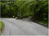 27
27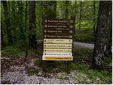 28
28 29
29 30
30 31
31 32
32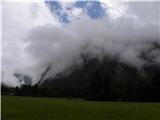 33
33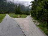 34
34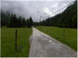 35
35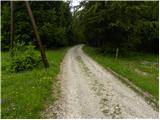 36
36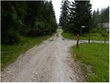 37
37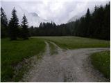 38
38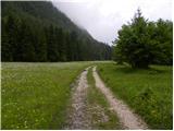 39
39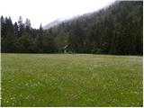 40
40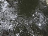 41
41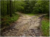 42
42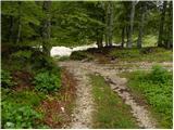 43
43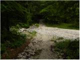 44
44 45
45 46
46 47
47 48
48 49
49 50
50 51
51 52
52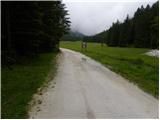 53
53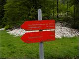 54
54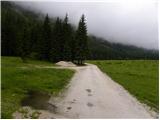 55
55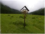 56
56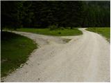 57
57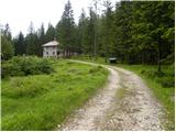 58
58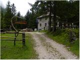 59
59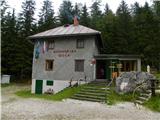 60
60
Discussion about the trip Dovje - Kovinarska koča v Krmi
To post a comment you must log in:
If you do not yet have a username, you must first
register.