Dragomer - Strmca (via Ferjanka)
Starting point: Dragomer (309 m)
| Latitude/Longitude: | 46,02010°N 14,37030°E |
| |
Route name: via Ferjanka
Walking time: 45 min
Difficulty: easy marked way
Elevation gain: 163 m
Elevation difference along the route: 163 m
Map: Ljubljana - okolica 1:50.000
Recommended equipment (summer):
Recommended equipment (winter):
Views: 5.632
 | 1 person like this post |
Access to starting point:
A) From the highway Ljubljana - Koper, we take the Brezovica exit, then continue driving on the parallel old road towards Vrhnika. After approximately 5 km of driving from the point where we joined the old road, we turn right onto a local road that continues among meadows and fields. After a few hundred meters we arrive at a hamlet with a few houses, where at the intersection we turn left, and the road turns right just a few meters further. Further on, we drive mostly straight, then at the intersection where there are garbage containers, we turn left. A short, barely noticeable descent follows and the road brings us to the next intersection. Here we continue straight where the blazes also direct us. A further good 100 m of driving follows, then we park at a suitable spot near the next intersection.
B) From the highway Koper - Ljubljana, we take the Vrhnika exit, then continue driving on the parallel old road towards Ljubljana. After 8.5 km of driving from the point where we joined the old road, we turn left onto a local road that continues among meadows and fields. After a few hundred meters we arrive at a hamlet with a few houses, where at the intersection we turn left, and the road turns right just a few meters further. Further on, we drive mostly straight, then at the intersection where there are garbage containers, we turn left. A short, barely noticeable descent follows and the road brings us to the next intersection. Here we continue straight where the blazes also direct us. A further good 100 m of driving follows, then we park at a suitable spot near the next intersection.
Route description:
From the starting point we continue along the left road, which quickly takes us into the forest, where it turns into a cart track. We continue along the cart track or along the parallel marked path, which joins the cart track after just a few 10 m. Further we ascend along the cart track, then the blazes direct us slightly left onto a marked footpath that climbs somewhat more steeply. Just a little higher we join another cart track, along which we quickly reach the Ferjanka homestead.
Here we continue right, back into the forest, and after a few 10 m of further walking we join the marked path from Log pri Brezovici.
We continue slightly right along the occasionally somewhat steeper path again. Higher up, the path to Debeli hrib branches off to the right; we continue straight and after one minute of further walking arrive at the forested summit of Strmca.
Along the route: Ferjanka (400m)
Photos:
 1
1 2
2 3
3 4
4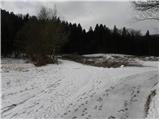 5
5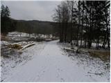 6
6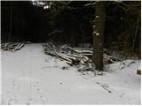 7
7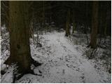 8
8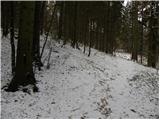 9
9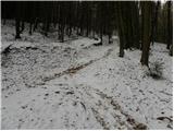 10
10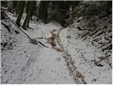 11
11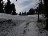 12
12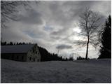 13
13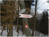 14
14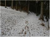 15
15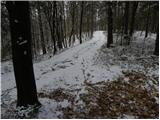 16
16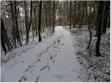 17
17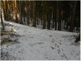 18
18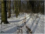 19
19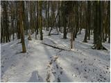 20
20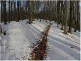 21
21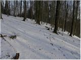 22
22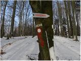 23
23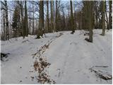 24
24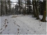 25
25 26
26
Discussion about the trip Dragomer - Strmca (via Ferjanka)
To post a comment you must log in:
If you do not yet have a username, you must first
register.