Dragomer - Vrh (Debeli hrib)
Starting point: Dragomer (297 m)
| Latitude/Longitude: | 46,01810°N 14,38680°E |
| |
Walking time: 40 min
Difficulty: easy unmarked way
Elevation gain: 243 m
Elevation difference along the route: 243 m
Map: Ljubljana - okolica 1:50.000
Recommended equipment (summer):
Recommended equipment (winter): crampons
Views: 9.253
 | 2 people like this post |
Access to starting point:
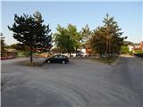
From the Ljubljana-Koper highway, take the Brezovica exit, then continue driving on the parallel old road towards Vrhnika. After 4.5 km of driving from the point where we turned onto the old road, turn right towards the center of Dragomer. Just as we turn off the main road, a marked path branches off to the right, initially a road towards Debeli hrib. Park somewhere in Dragomer, best near the sports field.
Route description:
The path first leads along the asphalt road, from which a nice view of Dragomer opens up. The asphalt soon ends, and the road enters the forest, where we pay attention to the turn-off of the marked mountain path to the right. The marked path first ascends relatively steeply, then passes onto the ridge of Liparjev grič, where it turns left and flattens. A short descent follows through a belt of low bushes, then the path returns to the forest and splits into two cart tracks.
We continue on the left initially still marked cart track (even if we continue right we will reach Vrh), which we leave a few meters further, as the frog directs us right onto a steep footpath that continues ascending through the forest. During the ascent, the path leads past the "polygon of the downhill cycling track", for some time the path route is the same, so we must be careful if a cyclist comes from the opposite side so we can step aside in time. Higher up, the path leads past a few more junctions, and at the junctions we follow the frog, which shows the way to the top. In the last part, the path flattens, and we follow it all the way to the nearby peak, on which there is a frog and a few benches.

Photos:
 1
1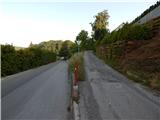 2
2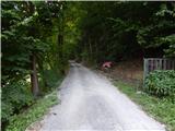 3
3 4
4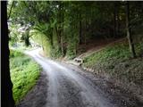 5
5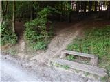 6
6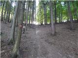 7
7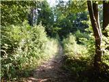 8
8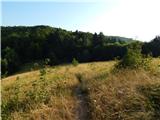 9
9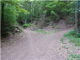 10
10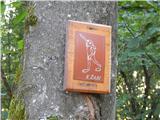 11
11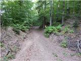 12
12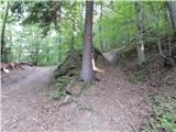 13
13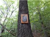 14
14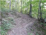 15
15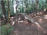 16
16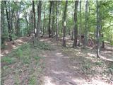 17
17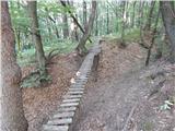 18
18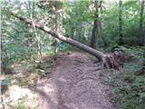 19
19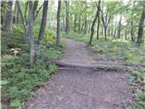 20
20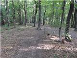 21
21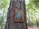 22
22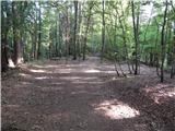 23
23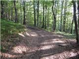 24
24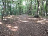 25
25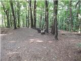 26
26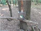 27
27 28
28
Discussion about the trip Dragomer - Vrh (Debeli hrib)
|
| lynx.attentus6. 10. 2013 |
I walked to Debeli hrib from the direction of Brezovice near the church on April 11, 2013. Nice path for an evening walk.
|
|
|
To post a comment you must log in:
If you do not yet have a username, you must first
register.