Dragonja (Križišče) - Sveti Duh (Sveti Peter) (southeast path)
Starting point: Dragonja (Križišče) (34 m)
| Latitude/Longitude: | 45,45430°N 13,66210°E |
| |
Route name: southeast path
Walking time: 1 h 30 min
Difficulty: easy marked way
Elevation gain: 219 m
Elevation difference along the route: 275 m
Map:
Recommended equipment (summer):
Recommended equipment (winter):
Views: 3.185
 | 1 person like this post |
Access to starting point:
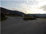
First, we drive to Koper, and from there we continue driving in the direction of Pulj / Pula through the border crossing Dragonja. A few hundred meters before the national border, at the traffic-light crossroads we continue left (straight MP Dragonja, right Sečovlje) in the direction of Dragonja. We then drive through Dragonja, and at the next crossroads we continue slightly left in the direction of the villages Sveti Peter and Nova vas. From the mentioned crossroads, we drive on the main road a few hundred meters more, and then we arrive at a sort of triangular crossroads, where the road to Sveti Peter branches off to the left, straight ahead the road continues through the Dragonja valley, and on the right we notice a bus stop. At the mentioned crossroads begins the described footpath to Sveti Peter or the church of Sv. Duh. At the starting point, there are no arranged parking spaces.
Route description:
From the bus stop we continue in the direction of Sveti Peter and Nova vas on an ascending asphalt road. After a few hundred meters we arrive at the left turn, where we leave the asphalt road and continue right on a worse macadam road (ahead on the asphalt road northwest path), which soon crosses a smaller torrent gully. After the nearby olive plantation the road finally turns into a cart track, which under the power line splits into two parts. We continue on the lower right cart track, which continues crossing gentle slopes to the right. After a short descent we join a second wider cart track, on which we start ascending again. Higher up, looking back, some views open towards the Dragonja valley, and the path leads us into a belt of low forest, where at the next junction we continue right. There follows a few minutes' crossing to the right, then we arrive in more interesting rocky terrain, where a wide path leads above a mini precipice. On the other side of this section the path ascends moderately, then past the hunting observatory brings us under the next power line, where the path from the village Krkavče joins from the right.
We continue left in the direction of Sveti Peter, on the path which after further short ascent brings us between olive plantations on the left and fields on the right. With nice views on the surrounding hills we soon arrive at an asphalt road, which we follow left, walking along it to the left turn, where the blazes lead us right onto a cart track, which after a few steps splits into two parts. We continue on the left upper cart track, which crosses slopes to the right, then past the house (holiday cottage) brings us to another asphalt road.
When we reach the road we continue sharply left (slightly right to the center of the Sveti Peter settlement), then in a few minutes we reach the cemetery church of Sv. Duh, from where a beautiful view opens onto the surrounding hills.
Description and pictures refer to the condition in the year 2014 (November).

Photos:
 1
1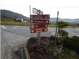 2
2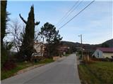 3
3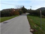 4
4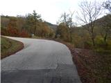 5
5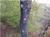 6
6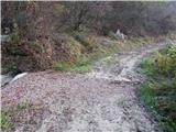 7
7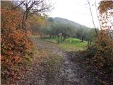 8
8 9
9 10
10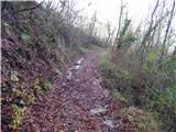 11
11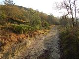 12
12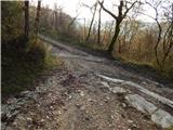 13
13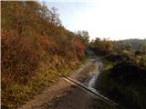 14
14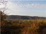 15
15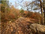 16
16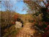 17
17 18
18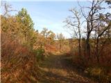 19
19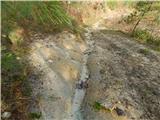 20
20 21
21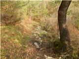 22
22 23
23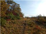 24
24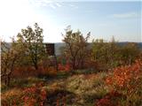 25
25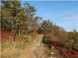 26
26 27
27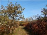 28
28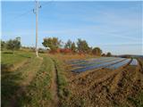 29
29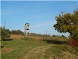 30
30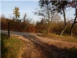 31
31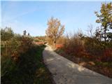 32
32 33
33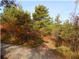 34
34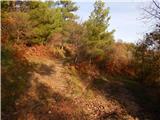 35
35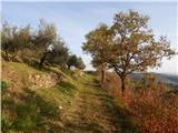 36
36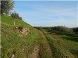 37
37 38
38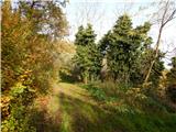 39
39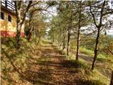 40
40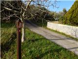 41
41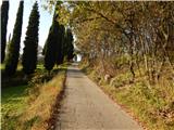 42
42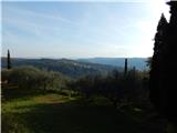 43
43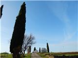 44
44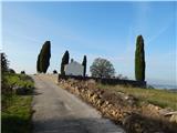 45
45 46
46
Discussion about the trip Dragonja (Križišče) - Sveti Duh (Sveti Peter) (southeast path)
To post a comment you must log in:
If you do not yet have a username, you must first
register.