Dragonoš (Krpesovka) - Planinski dom Žitnica (via Japetić)
Starting point: Dragonoš (Krpesovka) (740 m)
| Latitude/Longitude: | 45,76161°N 15,59813°E |
| |
Route name: via Japetić
Walking time: 1 h
Difficulty: easy marked way
Elevation gain: 75 m
Elevation difference along the route: 90 m
Map:
Recommended equipment (summer):
Recommended equipment (winter):
Views: 251
 | 1 person like this post |
Access to starting point:
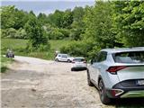
We leave the Dolenjska motorway at the Slovenska vas exit, which is just before the Obrežje border crossing. We continue to the centre of Obrežje, where we turn left at the intersection, then through the Bregana border crossing settlement and the bridge over the Bregana river we arrive in Croatia. Immediately after the border we continue sharply right towards Jastrebarsko and drive on to Grdanjci, where in the village centre we notice a sign on the left for Jarušje, Višnjevac and Noršić Selo. We take this road and continue on the narrower asphalted road through Breganica and after about 7.5 km we reach an intersection, continuing left towards Jarušje and Dragonoš, right to Noršić Selo. On arriving in Dragonoš we continue left at the intersection along the main road to Japetić. The narrow asphalt road brings us to the saddle, where we park by the roadside.
Route description:
From the starting point we continue along the gravel road, which takes us across a small panoramic meadow, then via a marked shortcut we cut the bend. The road passes under a small power line and rises and falls. The road enters the forest and then across a small meadow we reach the junction to Japetić. The area is called Katin krč. Continue left. Straight on the road to Planinski dom Žitnica. The path is initially gentle. After a few minutes we reach a small valley, where there is plenty of wild garlic in spring. Straight ahead the marked path continues, but we turn left here and after a few minutes of steep ascent reach the summit of Japetić, where there is a lookout tower. The HPO stamp is on the tower pillar. For the view we must climb the lookout tower. From the summit we continue on a steep path that soon levels out and a path joins from the right that bypasses the Japetić summit. After a few minutes on the level path across meadow and forest, we reach the road, which we follow left. In a few minutes we are at the intersection, where we continue right towards Planinski dom Žitnica. Left leads to Plešivica (Čergo), Okić, Oštrc etc. We walk along the road for a few more minutes and reach the parking lot where the road ends. We continue on a wide path that descends in 3 minutes to Planinski dom Žitnica, from where some views open towards Jastrebarsko.
Description and photos refer to the condition in May 2025.

Photos:
 1
1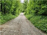 2
2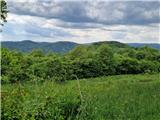 3
3 4
4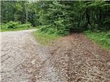 5
5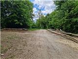 6
6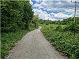 7
7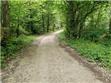 8
8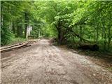 9
9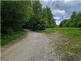 10
10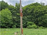 11
11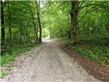 12
12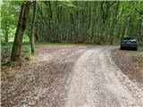 13
13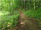 14
14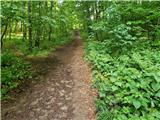 15
15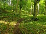 16
16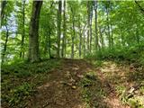 17
17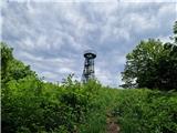 18
18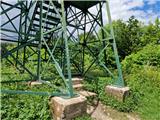 19
19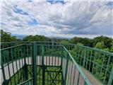 20
20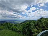 21
21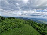 22
22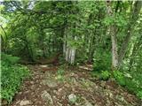 23
23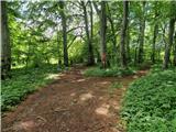 24
24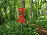 25
25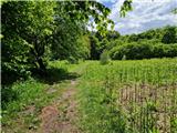 26
26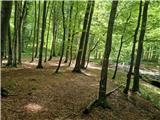 27
27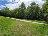 28
28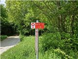 29
29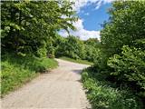 30
30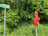 31
31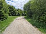 32
32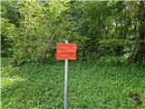 33
33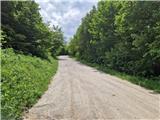 34
34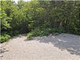 35
35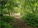 36
36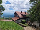 37
37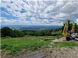 38
38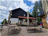 39
39
Discussion about the trip Dragonoš (Krpesovka) - Planinski dom Žitnica (via Japetić)
To post a comment you must log in:
If you do not yet have a username, you must first
register.