Starting point: Dragonoš (735 m)
| Latitude/Longitude: | 45,76316°N 15,59237°E |
| |
Walking time: 40 min
Difficulty: easy marked way
Elevation gain: 2 m
Elevation difference along the route: 50 m
Map:
Recommended equipment (summer):
Recommended equipment (winter):
Views: 105
 | 1 person like this post |
Access to starting point:
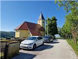
We leave the Dolenjska motorway at the Slovenska vas exit, which is just before the Obrežje border crossing. We continue to the centre of Obrežje, where at the intersection we turn left, then through the Bregana naselje border crossing and the bridge over the Bregana river we arrive in Croatia. Immediately after the border we turn sharply right towards Jastrebarsko and continue driving to the village of Grdanjci, where in the village centre we notice a sign on the left for Jarušje, Višnjevac and Noršić Selo. We take this road and continue on a narrower asphalted road through Breganica and after approximately 7.5 km we arrive at an intersection, where we continue left towards Jarušje and Dragonoš, right to Noršić Selo. When we arrive in Dragonoš, at the intersection we continue straight towards the Church of Saint Anthony, where there is space for a few cars.
Route description:
From the Church of Saint Anthony we head back into the village, then go a few more meters towards Jarušje, where signs direct us slightly right onto a gravel road. After a few minutes of walking through a strip of forest and part of a meadow we arrive at a junction, where we continue left. Straight ahead we reach the destination along the road. From the right a path from Japetića joins us. The path begins to descend. Soon we turn right onto a wide path that crosses the slope of the nearby Belega griča. After a short ascent we arrive at the road. We continue left along the road, which after a short descent brings us to a crossroads, where we continue straight along the road. To the right a path branches off over Mali Lovnik to Slani dol. The marked path then cuts a shortcut that cuts the bend, when we return to the road, we already see Gostinjac Sv. Bernard among the trees, to which we are separated by another short marked shortcut and a few steps along the road. There is a chapel by the inn.
To the right of the inn the path continues to Veliki Lovnik. The path leads past the stations of the Way of the Cross and ascends to a small plain. The path becomes steeper and soon turns right and in a few steps we step onto the viewless summit of Veliki Lovnik, where there is a cross and two chapels.
Description and photos refer to the condition in May 2025.

Photos:
 1
1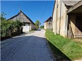 2
2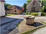 3
3 4
4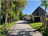 5
5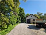 6
6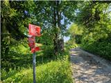 7
7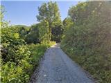 8
8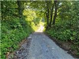 9
9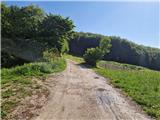 10
10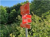 11
11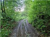 12
12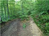 13
13 14
14 15
15 16
16 17
17 18
18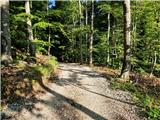 19
19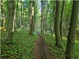 20
20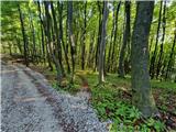 21
21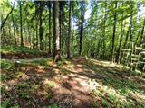 22
22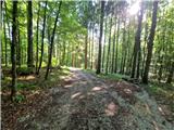 23
23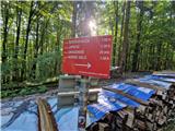 24
24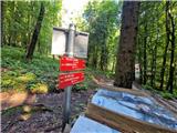 25
25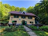 26
26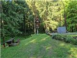 27
27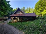 28
28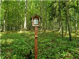 29
29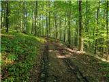 30
30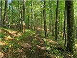 31
31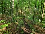 32
32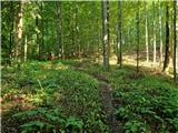 33
33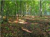 34
34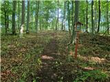 35
35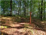 36
36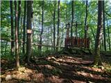 37
37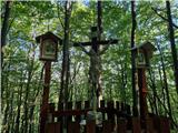 38
38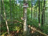 39
39
Discussion about the trip Dragonoš - Veliki Lovnik
To post a comment you must log in:
If you do not yet have a username, you must first
register.