Starting point: Dragonoš (735 m)
| Latitude/Longitude: | 45,76316°N 15,59237°E |
| |
Walking time: 1 h 45 min
Difficulty: easy marked way
Elevation gain: 60 m
Elevation difference along the route: 200 m
Map:
Recommended equipment (summer):
Recommended equipment (winter):
Views: 134
 | 1 person like this post |
Access to starting point:
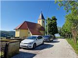
Leave the Dolenjska motorway at the Slovenska vas exit, which is just before the Obrežje border crossing. Continue driving to the centre of Obrežje, where at the intersection turn left, then through the Bregana border crossing settlement and bridge over the Bregana river arrive in Croatia. Immediately after the border continue sharply right towards Jastrebarsko and continue to the village of Grdanjci, where in the centre of the village notice the sign on the left for Jarušje, Višnjevac and Noršić Selo. Head onto this road and continue on the narrower asphalted road through Breganica and after approximately 7.5 km of driving arrive at an intersection, where you continue left towards Jarušje and Dragonoš, right to Noršić Selo. Upon arriving in Dragonoš, at the intersection continue straight towards the Church of Saint Anthony, where there is space for a few cars.
Route description:
From the Church of Saint Anthony head straight along the road, which loses the asphalt surface and gently descends. After 5 minutes reach the left fork to Pljovica, continue straight towards Zečak. The path returns to the forest and begins to gently descend. The track crosses a few more meadows, then begins to descend somewhat more noticeably along the northern slopes of Pljovica, after which the track levels briefly. After approximately half an hour of walking from the starting point arrive at a road, which you follow left. The road first descends to a saddle where there is an intersection. Signposts direct you straight onto a somewhat more ascending road. Walk along the gravel road for quite some time. Midway it ascends somewhat more steeply, after the steep ascent the markings lead right onto a trail that cuts the bend. En route some views open towards Zečak. After approximately 45 minutes of walking from the saddle arrive at a junction where a cross is located to the right. Continue left still walking on the gravel road. After approximately 10 minutes of walking a path to Zečak branches left. By road one reaches Pavkoviće, from where it is also possible to reach Zečak. Continue on the track which begins to ascend, across smaller belts of forest and smaller meadows. The path leads past a wooden house and turns left onto a somewhat more visible track that begins to traverse. Midway a path to Japetić branches left. The track leads past yet another house and we gradually move onto the southern grassy slopes of Zečak. Soon signposts direct right onto a barely visible trail. Straight Tihočaj. The path leads across a meadow and a belt of forest to another meadow. After approximately 10 minutes of walking on the path arrive at Zečak, the sign and stamp are a bit further left in the forest.
Description and photos refer to the condition in May 2025.

Photos:
 1
1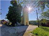 2
2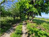 3
3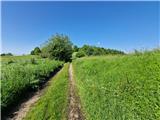 4
4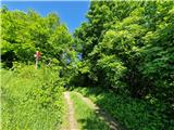 5
5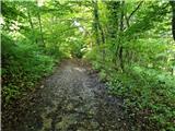 6
6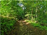 7
7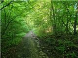 8
8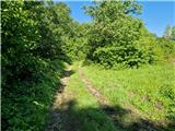 9
9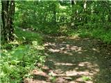 10
10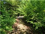 11
11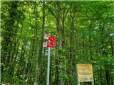 12
12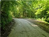 13
13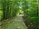 14
14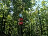 15
15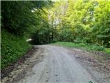 16
16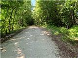 17
17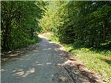 18
18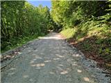 19
19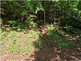 20
20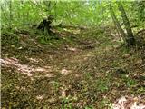 21
21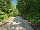 22
22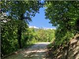 23
23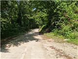 24
24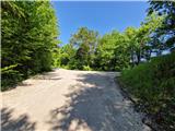 25
25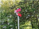 26
26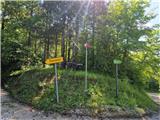 27
27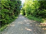 28
28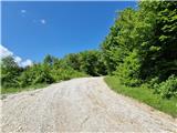 29
29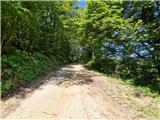 30
30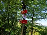 31
31 32
32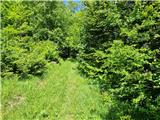 33
33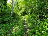 34
34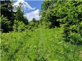 35
35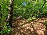 36
36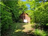 37
37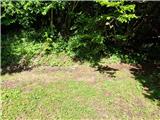 38
38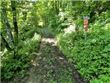 39
39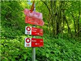 40
40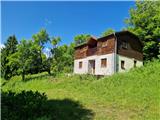 41
41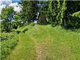 42
42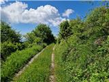 43
43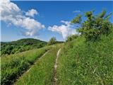 44
44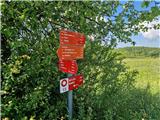 45
45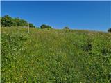 46
46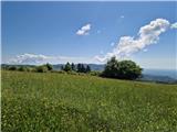 47
47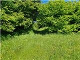 48
48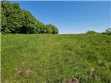 49
49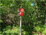 50
50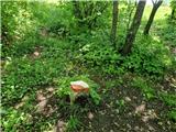 51
51
Discussion about the trip Dragonoš - Zečak
To post a comment you must log in:
If you do not yet have a username, you must first
register.