Drežnica - Planina Zaslap
Starting point: Drežnica (553 m)
| Latitude/Longitude: | 46,25550°N 13,61700°E |
| |
Walking time: 3 h 5 min
Difficulty: easy marked way, easy unmarked way
Elevation gain: 804 m
Elevation difference along the route: 915 m
Map: Julijske Alpe - zahodni del 1:50.000
Recommended equipment (summer):
Recommended equipment (winter): ice axe, crampons
Views: 175
 | 1 person like this post |
Access to starting point:
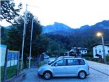
We drive to Kobarid, then we follow the signs for Drežnica. After the Napoleonov most bridge over the Soča River, the road begins to climb, and we follow it to Drežnica, where we park in the parking area near the sports ground.
Route description:
From the parking lot, we initially continue along the marked path, or rather the road, in the direction of Krn. When the path to Krn turns left, we follow the road that leads to the neighbouring village of Koseč. Before crossing the Ročica stream, the path splits once again. We continue straight over the bridge to the other side of the stream (left: Debela peč, Krampež waterfall and Male skale), and after a few more minutes of walking we reach Koseč. From there we turn left onto a side road, following the signs for the Alpe Adria Trail (straight ahead: sv. Just).
We continue past the apartments, then turn sharply right in the direction of Tolmin and Planica. At the end of the settlement the road ends, or rather turns into a cart track that gradually enters the forest. At junctions we follow the signs for the Alpe Adria Trail; during the ascent you can also spot one Knafelc blaze. A moderate ascent in long switchbacks follows. A little above 1000 m, at a hunting observatory, the cart track ends. We follow the well-trodden path that leads us across a grassy area which is still mown in its lower part. Higher up, the path temporarily passes through tall grass before we return to forest and bushes, where we ascend diagonally across a somewhat steeper slope. A few more minutes of steeper ascent follow, and we reach the Italian chapel Bes, or the chapel on Planica.
In front of the chapel we continue left and follow the signs for planina Kuhinja. The path first leads over a small saddle between Planica on the left and Pleče on the right, then gradually moves onto the slopes of Planica. We mostly traverse these slopes with a gentle descent. Later we reach the crossing of two consecutive precipitous gullies, where the path leads over three small bridges for easier passage – extra caution is needed here, especially when wet. Apart from the exposure, however, the path on this section is not technically demanding. Later we cross one more gully, then ascend diagonally up a slope that is still fairly steep for a short section. The path then turns left and climbs to a nearby cart track. Upon reaching the cart track we turn right and descend along it to a nearby road, which we join exactly at a hairpin bend.
The path to planina Kuhinja continues down the road, but we follow the road upwards and in a few minutes ascend to planina Slapnik, where a larger number of similar-looking buildings stand.
The road ahead leads us above the buildings, and on the other side we join the marked path from the mountain pasture Kuhinja, which we then follow left and upwards towards Krn. A few minutes higher up, the marked path that continues towards Krn crosses the road, while we follow the road to the left.
Next follows a few minutes of panoramic ascent along the road, which takes us past a chapel dedicated to St. Izidor and brings us to the mountain pasture Zaslap.
Drežnica - Koseč 0:10, Koseč - Italian chapel on Planica 1:50, Italian chapel on Planica - planina Slapnik 0:45, planina Slapnik - planina Zaslap 0:20.
Description and photographs refer to conditions in July 2025.

Photos:
 1
1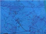 2
2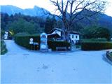 3
3 4
4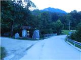 5
5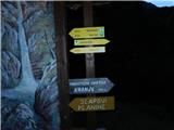 6
6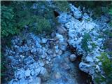 7
7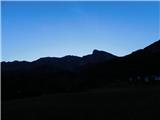 8
8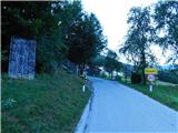 9
9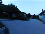 10
10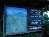 11
11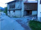 12
12 13
13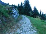 14
14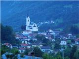 15
15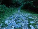 16
16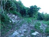 17
17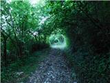 18
18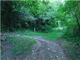 19
19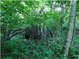 20
20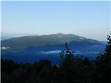 21
21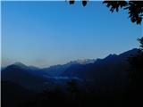 22
22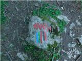 23
23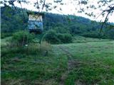 24
24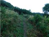 25
25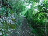 26
26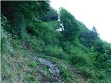 27
27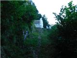 28
28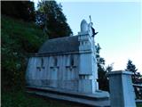 29
29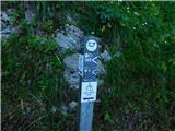 30
30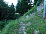 31
31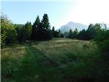 32
32 33
33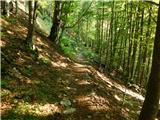 34
34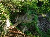 35
35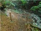 36
36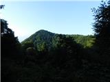 37
37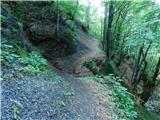 38
38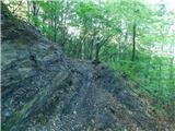 39
39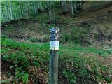 40
40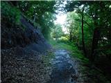 41
41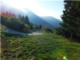 42
42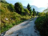 43
43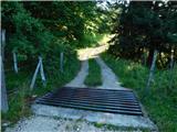 44
44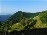 45
45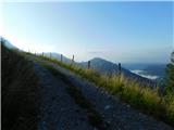 46
46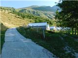 47
47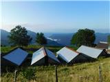 48
48 49
49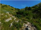 50
50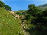 51
51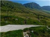 52
52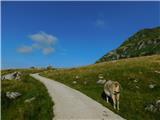 53
53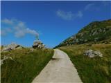 54
54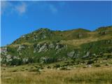 55
55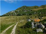 56
56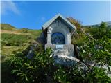 57
57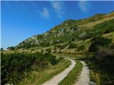 58
58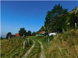 59
59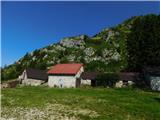 60
60
Discussion about the trip Drežnica - Planina Zaslap
To post a comment you must log in:
If you do not yet have a username, you must first
register.