Dvor - Polhograjska Grmada (via Mala Grmada)
Starting point: Dvor (345 m)
| Latitude/Longitude: | 46,06590°N 14,34790°E |
| |
Route name: via Mala Grmada
Walking time: 1 h 45 min
Difficulty: easy marked way
Elevation gain: 553 m
Elevation difference along the route: 600 m
Map: Škofjeloško in Cerkljansko hribovje 1:50.000
Recommended equipment (summer):
Recommended equipment (winter): ice axe, crampons
Views: 36.125
 | 2 people like this post |
Access to starting point:
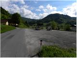
First, we drive to Dobrova near Ljubljana, and then we continue driving in the direction of Polhov Gradec. Just a little after the village Belica we will reach the village Dvor, which is the starting point for our tour. The large parking lot at the beginning of the village (viewed from the direction of Ljubljana) is intended for guests of the nearby snack bar (by arrangement with employees in the snack bar, it is possible to leave the car also on the mentioned parking lot). A few spots for parking are also at the end of the settlement.
Route description:
From the parking lot (at snack bar) we continue on the main road towards Polhov Gradec, and then about 10 m before the old Gothic church of St. Peter, by the road we notice a trough with water and next to it mountain signposts for Grmada, which direct us to the right onto a narrower but still asphalted road. After a short ascent, the road turns slightly to the left, and right at that spot we look for a footpath that from the road turns sharply to the right (the turn-off is not marked). When we enter the forest, the footpath turns left and ascends diagonally further. After a few minutes we arrive at a cart track, where we join a marked path that leads from the previously mentioned church (we can also reach here past the church).
We continue the ascent along the cart track, which higher up turns into a steep footpath. The path continues ascending along a relatively steep ridge, from which we veer slightly to the left higher up. When we leave the ridge the path flattens, and it leads us further across a panoramic meadow, along the edge of which we notice a hunting observatory. The path then brings us to a gently sloping cart track, to which a little further on the path from Polhov Gradec joins from the left (path over Ravnek). We continue along the cart track, which quickly takes us to the hunting cottage, near which there is a marked junction.
We continue on the right side of the cottage along the path, which immediately behind the cottage starts to ascend very steeply. Higher up the path flattens slightly and brings us to the top of Mala Grmada, where another path from Polhov Gradec joins from the left (path over Setnica).
From Mala Grmada we first descend slightly, then continue the ascent along a panoramic and occasionally quite steep ridge path. Higher up the path turns slightly to the right and crosses the somewhat steeper summit slopes of the mountain. After the traverse ascent the path from Belica joins from the right, we continue left and after a few more steps we reach the next junction, where the path from the village Topol joins from the right. We continue left and after a few more steps we reach the 898 m high summit.

The trip can be extended to the following destinations: Tošč
Photos:
 1
1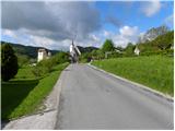 2
2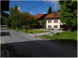 3
3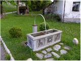 4
4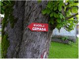 5
5 6
6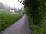 7
7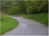 8
8 9
9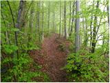 10
10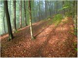 11
11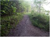 12
12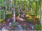 13
13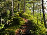 14
14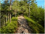 15
15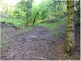 16
16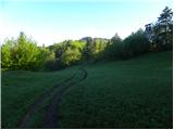 17
17 18
18 19
19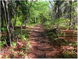 20
20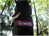 21
21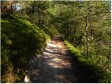 22
22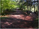 23
23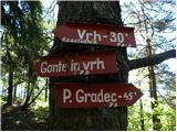 24
24 25
25 26
26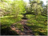 27
27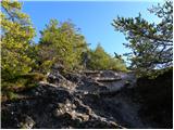 28
28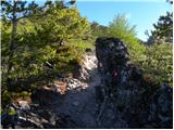 29
29 30
30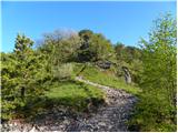 31
31 32
32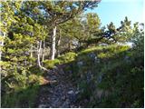 33
33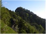 34
34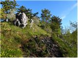 35
35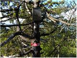 36
36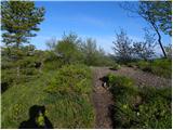 37
37 38
38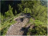 39
39 40
40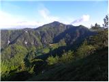 41
41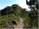 42
42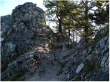 43
43 44
44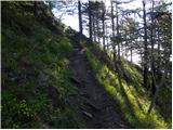 45
45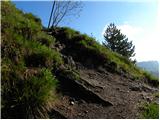 46
46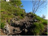 47
47 48
48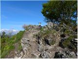 49
49 50
50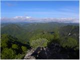 51
51
Discussion about the trip Dvor - Polhograjska Grmada (via Mala Grmada)
|
| trdi19. 05. 2019 |
The path can be started directly from the parking lot past the refreshment stand to the left into the forest on a nicely trodden trail and after good five minutes we join the described path.
|
|
|
|
| Lapuh20721. 05. 2019 |
If from the parking lot we go across the road and past the refreshment stand uphill on the trodden path (initially cart track), we will arrive at the second ridge from the one in the path description above. This ridge has an unmarked but very pleasant path. After three quarters of an hour it joins the described path right at the mentioned hunting observation post.
|
|
|
To post a comment you must log in:
If you do not yet have a username, you must first
register.