Konec ceste na Vogar - Srednji Vogel (via Griva)
Starting point: Konec ceste na Vogar (1350 m)
| Latitude/Longitude: | 46,29560°N 13,84120°E |
| |
Route name: via Griva
Walking time: 4 h 45 min
Difficulty: easy pathless terrain
Elevation gain: 876 m
Elevation difference along the route: 1125 m
Map: Triglav 1:25.000
Recommended equipment (summer): helmet
Recommended equipment (winter): helmet, ice axe, crampons
Views: 326
 | 1 person like this post |
Access to starting point:
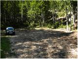
From the Gorenjska motorway (Lesce exit), Železniki or Soriska planina, we drive to Bohinjska Bistrica, then continue driving towards Bohinj Lake. In Ribčev Laz, just before the lake we turn right towards Stara Fužina, where we first drive across a bridge with a beautiful view of Bohinj Lake and past the church of St. John the Baptist. When we reach Stara Fužina, at the junction by the chapel we turn sharply left onto the ascending road towards planina Blato, planina Vogar and Voje valley. The road then takes us to the toll and parking fee collection point, we follow it further to the next junction, where we continue left (right Voje). We then follow the road to the next junction (we drive for quite some time), where we continue straight ahead (sharply right planina Blato). We then follow the road past planina Vogar and drive along it to the parking lot at the end of the road.
From the toll collection point to the starting point is less than 11 km of driving, the last part is a gravel road.
Route description:
At the parking lot we notice the signs for Planina Viševnik, which direct us right onto a wide and initially quite steep tractor track. After a few minutes of steep ascent, the track levels out, then continues without major changes in elevation further through the forest. When the track turns right, we continue straight on the marked footpath, which initially ascends gently for a short time. When the path becomes steeper, we will notice a cairn on the left side and a path next to it leading to Pršivec (the path later joins the usual path from Vogar), but we continue straight on the steep mountain path. The path ahead ascends steeply through the forest for some time, then temporarily levels out and takes us to Brezno pri Gamsovi glavici (the sinkhole has been explored to a depth of 817 m). Above the sinkhole, the path enters an indistinct and in the upper part also steeper valley, along which we ascend to a small pass between Pršivec (1761 m) on the left and Gornji Viševnik (1722 m) on the right. Here the path completely levels out, then continues for some time across the pastures of Gornji Viševnik. On the other side, the path returns to the forest and descends in a few minutes to Planina Viševnik, in the middle of which stands Bregarjevo zavetišče.
From Planina Viševnik we continue slightly left (sharply left Pršivec, left Črno jezero, slightly right Planina pri Jezeru via Krištofojca, right Planina pri Jezeru) on the path towards Planina Ovčarija and Triglav Lakes. The path ahead first ascends transversely to the left across a steeper slope, then gradually levels out and takes us into a more plateau-like terrain. We continue southwest of Griva (1758 m) for some time without major elevation changes. A bit further, specifically at the direction signs, a path continues straight towards Planina Dedno polje, while sharply left the marked path continues towards Planina Ovčarija.
At the mentioned junction we continue straight, the path ahead leads us along a somewhat less trodden path, which continues without major elevation changes. After less than 15 minutes of further walking, we reach the marked path leading from Planina Dedno polje towards Planina Ovčarija, which we follow to the right. Then follows a few minutes of moderate descent and the path, leading through mostly sparse forest, takes us to Planina Dedno polje, where there are several shepherds' huts and a cheese dairy.
Here we leave the wide path leading straight towards Koča na Planini pri Jezeru and continue left on the path towards Zasavska koča na Prehodavcih, pass Vratca and saddle Hribarice. The path ahead leads us past a few more huts on the planina, behind which a path branches right towards Planina v Lazu, Planina Krstenica and Vodnikov dom na Velem polju, but we continue straight to the northwest part of the planina, where the path begins to ascend. Here the path first leads past a dry watering place for animals, then the path becomes steeper and ascends through mostly coniferous forest of spruces and larches. After about thirty minutes of steep ascent, the path levels out and takes us to a kind of saddle between Kovačičeva glava on the left and Kredo on the right.
A little further from the saddle, for which we can trace the name Stog, an unmarked path branches right towards Slatna, and we get the first beautiful views of the mountains rising above the valley Za Kopico.
The path ahead ascends along the southern slopes of Slatna and Prvi Vogel, then gradually enters the central part of the valley Za Kopico.
Here we need to pay attention, as an indistinct valley branches right from the marked path, running between Srednji and Zadnji Vogel (the passage is located when we are level with Kopica (2190 m, recognizable by the overhanging wall)). We head into this valley, which ascends steeply and higher up through a series of several smaller valleys takes us into a more plateau-like terrain (between Zadnji and Srednji Vogel).
Here we head slightly right (left Zadnji Vogel) and a short ascent follows to the ridge of Srednji Vogel. From the ridge we have only a few minutes' walk to the summit.
Parking Hebed - Brezno pri Gamsovi glavici 0:55, Brezno pri Gamsovi glavici - Gornji Viševnik 0:10, Gornji Viševnik - Planina Viševnik 0:15, Planina Viševnik - Planina Dedno polje 0:55, Planina Dedno polje - Stog 0:30, Stog - Srednji Vogel 2:00.

Photos:
 1
1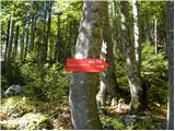 2
2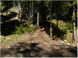 3
3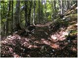 4
4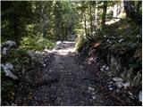 5
5 6
6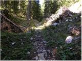 7
7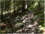 8
8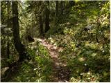 9
9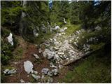 10
10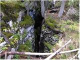 11
11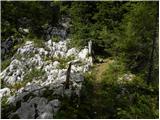 12
12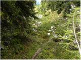 13
13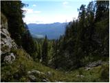 14
14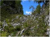 15
15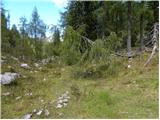 16
16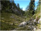 17
17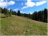 18
18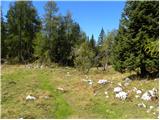 19
19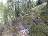 20
20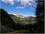 21
21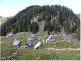 22
22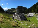 23
23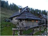 24
24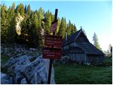 25
25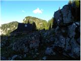 26
26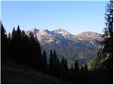 27
27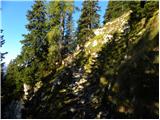 28
28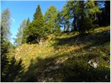 29
29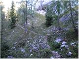 30
30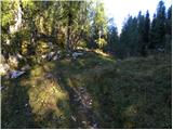 31
31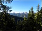 32
32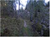 33
33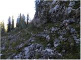 34
34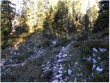 35
35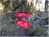 36
36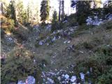 37
37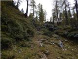 38
38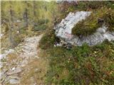 39
39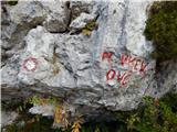 40
40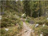 41
41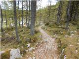 42
42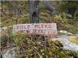 43
43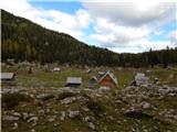 44
44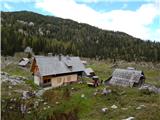 45
45 46
46 47
47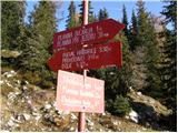 48
48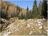 49
49 50
50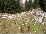 51
51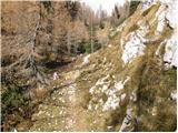 52
52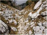 53
53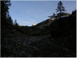 54
54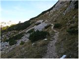 55
55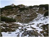 56
56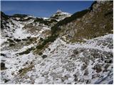 57
57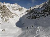 58
58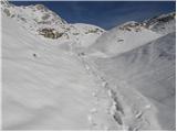 59
59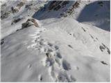 60
60 61
61 62
62 63
63 64
64 65
65 66
66
Discussion about the trip Konec ceste na Vogar - Srednji Vogel (via Griva)
To post a comment you must log in:
If you do not yet have a username, you must first
register.