Erjavčev rovt - Frauenkogel/Dovška Baba (direct way)
Starting point: Erjavčev rovt (1065 m)
| Latitude/Longitude: | 46,47920°N 13,96360°E |
| |
Route name: direct way
Walking time: 2 h 15 min
Difficulty: easy unmarked way
Elevation gain: 826 m
Elevation difference along the route: 826 m
Map: Kranjska Gora 1:30.000
Recommended equipment (summer):
Recommended equipment (winter): ice axe, crampons
Views: 21.652
 | 2 people like this post |
Access to starting point:
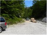
From the Gorenjska motorway take the Jesenice-West exit and follow the road ahead in the direction of Kranjska Gora. Soon we will notice signs for Dovje, which direct us right onto an ascending road, along which we quickly ascend to the upper part of the village. Through the village we follow the road in the direction of Kepa and Dovška Baba, then we come to a somewhat larger intersection, where we continue sharply left in the direction of Kepa. Further we drive for quite some time on a well-maintained forest road, then we come to the next intersection. We continue slightly right (left Brinje, Rovt Vrse and Požarnica) on the road which a little further flattens out and then starts descending towards the confluence of Žaklja and Mlinca (at the confluence there is also a smaller artificial lake). We park at a suitable place by the confluence, or a little back at one of the suitable places along the road.
Route description:
From the confluence we first cross the stream Žakelj (not in the direction of Kepa), then continue along the right stream Mlinca. The path ahead runs for a short time on a macadam road, then we come to a junction, where we continue on the abandoned right road (left road leads to the hut on Erjavčev rovt). The right abandoned road leads us further over a landslide slope, then passes into the forest and higher finally ends by the nearby stream. We continue the path along the bed of the stream, then after approximately 10 - 15 minutes of further walking, on the left side we notice a few smaller cairns, which direct us onto an initially quite overgrown and muddy footpath. Already after a short ascent we step into dense forest, where we continue on a poorly visible but nicely followable footpath. The path ahead gradually starts to ascend steeply, then higher brings us to the spot where we cross a short very steep and especially in wet conditions dangerous for slipping slope. The path then flattens and starts turning more and more to the right, where we cross slopes towards the right. We follow the mentioned footpath all the way to the spot where it brings us to the edge of the macadam road.
Right at the spot where we completely approach the forest road, we step onto the marked path Dovje - Dovška Baba.
We continue on the marked footpath, which higher crosses a pasture fence and short panoramic slope, then returns into the forest, where we come to a smaller unmarked junction. We continue left on the marked path (straight source of the little spring Starka 1 minute), which steeply ascends again, then turns slightly to the right, where after a few minutes of further walking it brings us to the lower edge of the pasture Dovška Rožca. Here the path turns left and after a few minutes of ascent over blooming meadows brings us to the shepherd's hut on the pasture Dovška Rožca.
From the pasture we continue straight upwards towards the northeast on a well visible but poorly marked path, which starts ascending on the increasingly panoramic slope of Dovška Baba. The pleasant path, which ascends along the edge of the panoramic side ridge, higher flattens and turns slightly to the right, where we step onto the main ridge of the Karavanks. Here ahead of us we notice the not very compact summit of Dovška Baba, which we reach after less than 5 minutes of further walking.

Photos:
 1
1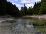 2
2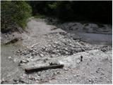 3
3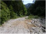 4
4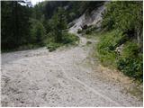 5
5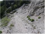 6
6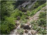 7
7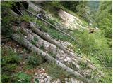 8
8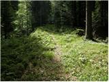 9
9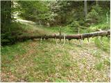 10
10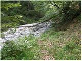 11
11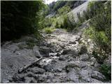 12
12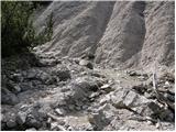 13
13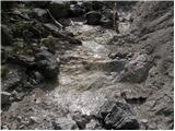 14
14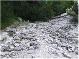 15
15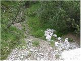 16
16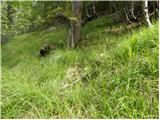 17
17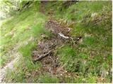 18
18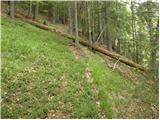 19
19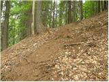 20
20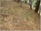 21
21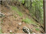 22
22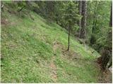 23
23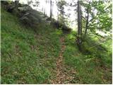 24
24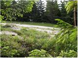 25
25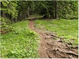 26
26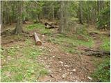 27
27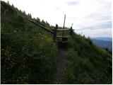 28
28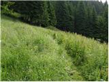 29
29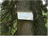 30
30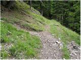 31
31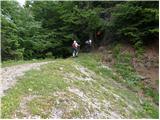 32
32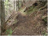 33
33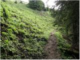 34
34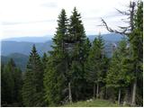 35
35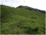 36
36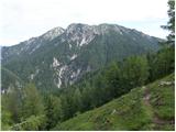 37
37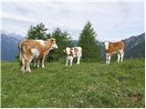 38
38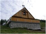 39
39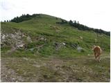 40
40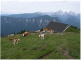 41
41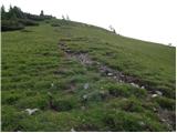 42
42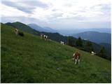 43
43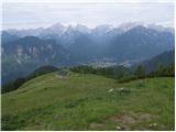 44
44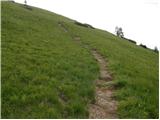 45
45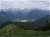 46
46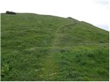 47
47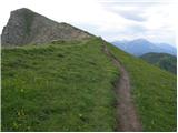 48
48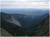 49
49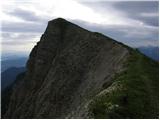 50
50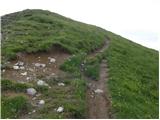 51
51 52
52
Discussion about the trip Erjavčev rovt - Frauenkogel/Dovška Baba (direct way)
To post a comment you must log in:
If you do not yet have a username, you must first
register.