Erjavčev rovt - Planina Dovška Rožca (via Brvog)
Starting point: Erjavčev rovt (1065 m)
| Latitude/Longitude: | 46,47920°N 13,96360°E |
| |
Route name: via Brvog
Walking time: 2 h 15 min
Difficulty: easy marked way
Elevation gain: 585 m
Elevation difference along the route: 650 m
Map: Kranjska Gora 1:30.000
Recommended equipment (summer):
Recommended equipment (winter): ice axe, crampons
Views: 5.432
 | 1 person like this post |
Access to starting point:
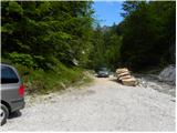
From the Gorenjska motorway we head to the exit Jesenice - west and follow the road ahead in the direction of Kranjska Gora. Soon we will notice signs for Dovje, which direct us right onto an ascending road, along which we quickly climb to the upper part of the village. Through the village we follow the road in the direction of Kepe and Dovške Babe, then we arrive at a somewhat larger intersection, where we continue sharply left in the direction of Kepe. Further on, we drive for quite some time along a well-maintained forest road, then we come to the next intersection. We continue slightly right (left Brinje, Rovt Vrse and Požarnica) along the road, which levels out a little further ahead and then begins to descend towards the confluence of Žaklja and Mlinca (at the confluence there is also a small artificial lake). We park at a suitable spot by the confluence, or a little further back at one of the suitable spots along the road.
Route description:
From the confluence we head towards the left stream (Žakelj) and cross it immediately. A wide path continues along the right side of the stream, we follow it for only a few metres, then the sign "Kepa" on the pasture fence directs us right onto an ascending footpath, along which in a few minutes we arrive above the hut in Erjavčev rovt.
We continue along the marked path, which enters the forest and starts to ascend steeply. Higher up the path turns slightly right and leads us to a relatively even cart track, along which we continue the ascent. The path then quickly brings us to a trough with water, behind it turns left and leads us out of the forest onto the mountain pasture Brvog, across which we quickly climb to the nearby hunting hut.
From the hut we continue right and continue the ascent along the marked path, which enters the forest. The path ahead quickly brings us to an indistinct partly grassy ridge, but soon veers right from it onto somewhat steeper slopes. A pleasant little path higher up levels out completely, then across increasingly panoramic slopes brings us to a small scree slope, across which a marked path leads. With some caution we cross the said slope, then a still relatively even path brings us to the spring Koritec, beside which there is a marked junction.
We continue right in the direction of the saddle Mlinca and proceed along the wide path, beside which we notice a fence that prevents livestock from passing onto the steep slopes.
The marked path soon veers slightly left from the fence and enters a belt of dense forest. The path crosses the slopes towards the east for a short while, then brings us to the saddle Mlinca, where the path disappears briefly, after which several parallel paths appear. We continue the ascent along or slightly below the border ridge, then on the left side of the hunting observation post we notice a well-trodden little path, which begins to turn increasingly right. The increasingly panoramic path continues traversing upwards towards the south, crossing the western slopes of Dovška Baba. The path then levels out and in a few minutes of further walking brings us to the extensive grassy slopes of the mountain pasture Dovška Rožca. Here we continue right (left Dovška Baba) and after a short descent arrive at the shepherd hut on the said mountain pasture.

Photos:
 1
1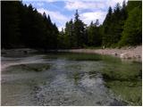 2
2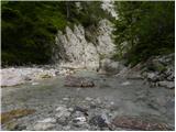 3
3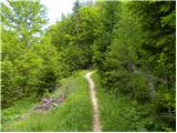 4
4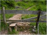 5
5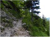 6
6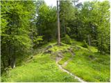 7
7 8
8 9
9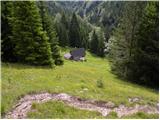 10
10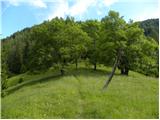 11
11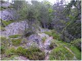 12
12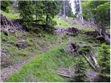 13
13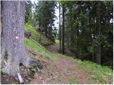 14
14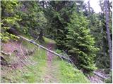 15
15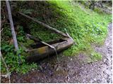 16
16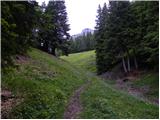 17
17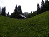 18
18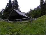 19
19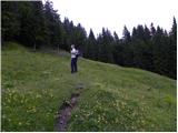 20
20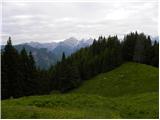 21
21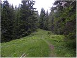 22
22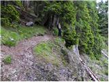 23
23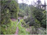 24
24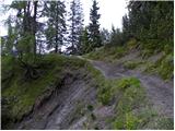 25
25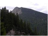 26
26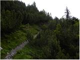 27
27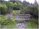 28
28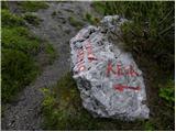 29
29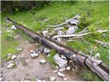 30
30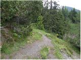 31
31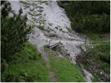 32
32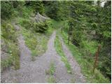 33
33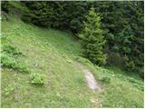 34
34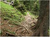 35
35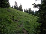 36
36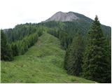 37
37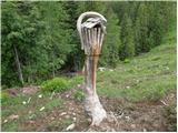 38
38 39
39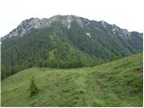 40
40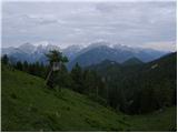 41
41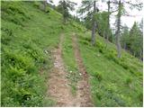 42
42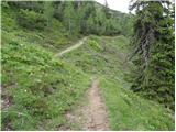 43
43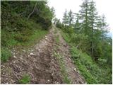 44
44 45
45 46
46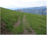 47
47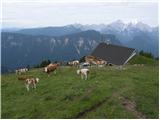 48
48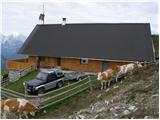 49
49
Discussion about the trip Erjavčev rovt - Planina Dovška Rožca (via Brvog)
To post a comment you must log in:
If you do not yet have a username, you must first
register.