Borovlje / Ferlach - Ferlacher Horn / Grlovec
Starting point: Borovlje / Ferlach (466 m)
| Latitude/Longitude: | 46,52210°N 14,30240°E |
| |
Walking time: 4 h 15 min
Difficulty: partly demanding marked way
Elevation gain: 1374 m
Elevation difference along the route: 1415 m
Map: Karavanke - osrednji del 1:50.000
Recommended equipment (summer):
Recommended equipment (winter): ice axe, crampons
Views: 5.002
 | 1 person like this post |
Access to starting point:
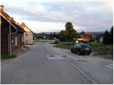
From the highway Ljubljana - Jesenice we take the exit Ljubelj (Tržič), and then we continue driving in the direction of Celovec / Klagenfurt. After the Ljubelj tunnel the road starts descending, and we follow it to the junction, where slightly to the right and downwards the road towards the settlement Borovlje / Ferlach branches off. The road, which is still descending, quickly brings us to the mentioned settlement, where we soon cross the railway track. Just a little after the track we join the other road, which we follow to the right, and we drive along it only to the nearby store Eurospar. Just before the store we turn right in the direction of Šajdnik / Schaidbauer and only a few meters further we again cross the railway track. Further on we drive along the ascending asphalt road, on which we quickly arrive at Šajdnik. We can park already lower down, at a suitable spot behind the railway track.
Route description:
From the railway track we first walk along a gently undulating asphalt road to the farm Šajdnik / Schaidbauer, then we continue straight on an initially slightly overgrown marked footpath. Only a little further the path from the bushes passes into the forest and starts first moderately, then for a short time quite steeply ascending. The steep ascent ends quickly, and we continue on the marked path, which further twice crosses a forest road. When we step on the road for the third time, we walk along it for some 10 meters, then the blazes direct us to the right onto a again slightly more overgrown path that leads us across an old clearing, where new trees are already growing. Only a little further we step onto the road again, which we only cross, and continue the path along an ascending cart track that passes into a strip of forest and turns into a footpath. Only a little higher we arrive at a large clearing, across which we then ascend for quite some time. Further the path leads us across an increasingly panoramic clearing, where the track is harder to follow in some places and in the upper part due to some unremoved fallen trees also harder to pass. In the upper part of the clearing the path turns right and flattens. A few minutes of traversing to the right follow, and the path, which further runs through the forest, leads us only a few meters above the precipice (on this section there is a great risk of slipping in the snow). A little further on the right side we notice a small cottage, and the path brings us transitorily to the ridge, which we reach south of Borovski vrh / Sechter.
For a short time we walk along the mentioned ridge, then the path passes onto the eastern slopes, where it crosses several gullies. A short slightly exposed slope follows, after which the path flattens and gradually brings us to the next forest road. When we step onto the road we follow it to the right, but we walk along it only for a short time, as the blazes then direct us to the left side of the road, where it continues for some time without major changes in elevation. After a shorter traverse we arrive at a marked junction, where we join the path from the village Bajdiše / Waidish.
From the junction we continue on the marked path towards Grlovec / Ferlacher Horn. The path ahead starts ascending more steeply again, and it gradually passes onto the eastern, higher onto the southeastern ridge of Grlovec. Higher up the forest starts to thin, and the path, which from the ridge passes onto the southern slopes, gradually brings us to the panoramic summit.

Photos:
 1
1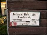 2
2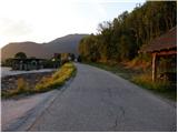 3
3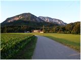 4
4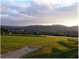 5
5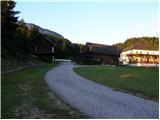 6
6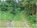 7
7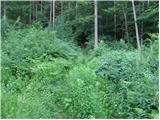 8
8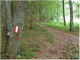 9
9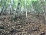 10
10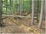 11
11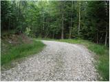 12
12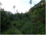 13
13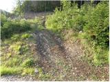 14
14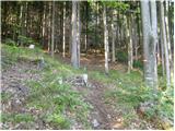 15
15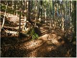 16
16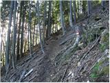 17
17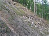 18
18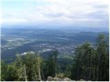 19
19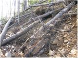 20
20 21
21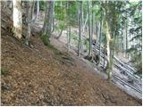 22
22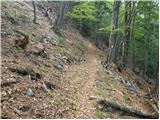 23
23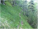 24
24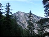 25
25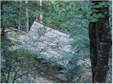 26
26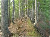 27
27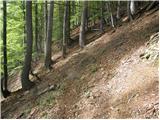 28
28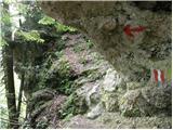 29
29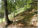 30
30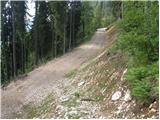 31
31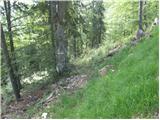 32
32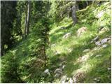 33
33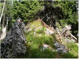 34
34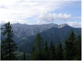 35
35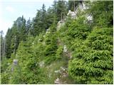 36
36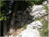 37
37 38
38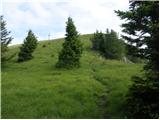 39
39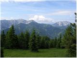 40
40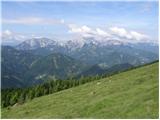 41
41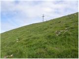 42
42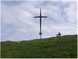 43
43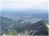 44
44
Discussion about the trip Borovlje / Ferlach - Ferlacher Horn / Grlovec
To post a comment you must log in:
If you do not yet have a username, you must first
register.