Frohnleiten - Hochtrötsch (Trötsch)
Starting point: Frohnleiten (440 m)
| Latitude/Longitude: | 47,26716°N 15,32882°E |
| |
Walking time: 2 h 15 min
Difficulty: easy marked way
Elevation gain: 799 m
Elevation difference along the route: 810 m
Map: https://www.bergfex.at
Recommended equipment (summer):
Recommended equipment (winter):
Views: 165
 | 1 person like this post |
Access to starting point:
We leave the highway Maribor-Graz-Salzburg (A9) after a few shorter tunnels outside Graz and continue right on the expressway in the direction of Wien-Bruck/Muhr-Peggau.
We leave the expressway at exit Frohnleiten and turn left. After the underpass, we turn right onto the parking lot of the railway station, where we park.
Route description:
From the parking lot, we go by the road upwards through the underpass. After the underpass the signpost soon directs us to the other side of the road.
We cross the road and continue on a grassy path by the fence upwards. In between we enjoy a nice view of the town Frohnleiten and Gschwendtberg. We get to a larger meadow. A grassy path among trees brings us to the road, which we follow to the turn-off, where we leave the road and continue on the path through the forest.
The path higher up joins the road again, which we follow to the nearby farm.
At the farm the trail marking directs us left across the meadow upwards. We get to a macadam road, where we go left, and after some time right towards the nearby house.
At the house the trail marking directs us into the forest, which we follow through the forest. At first on a wider forest path. Then we come to a macadam road, and after a time the path leads us into the forest again. We arrive at a panoramic meadow, where we keep to the left. We go past the building. Then the path takes us back into the forest.
The path becomes steeper. For the last time we arrive briefly on the forest road. We continue left to some sort of saddle below the summit. We go right upwards. The steepest part of the path follows, which brings us straight to the top. The path is easy and very well marked. I recommend setting out on the path in dry conditions, as the path, especially in the last part, is very steep.

Photos:
 1
1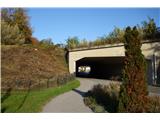 2
2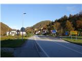 3
3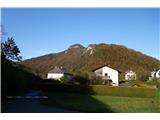 4
4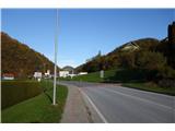 5
5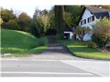 6
6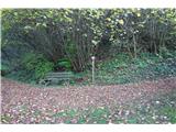 7
7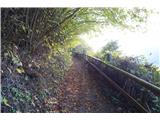 8
8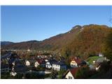 9
9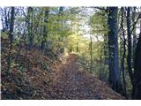 10
10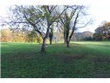 11
11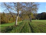 12
12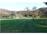 13
13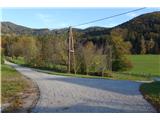 14
14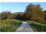 15
15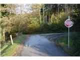 16
16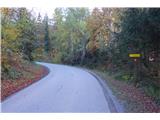 17
17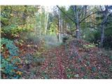 18
18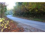 19
19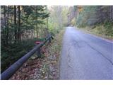 20
20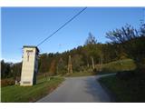 21
21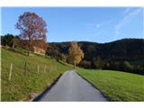 22
22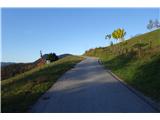 23
23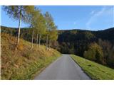 24
24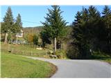 25
25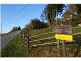 26
26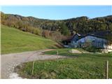 27
27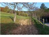 28
28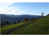 29
29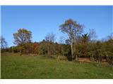 30
30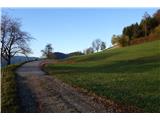 31
31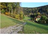 32
32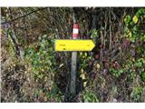 33
33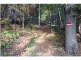 34
34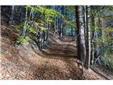 35
35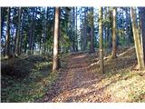 36
36 37
37 38
38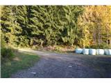 39
39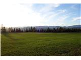 40
40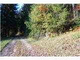 41
41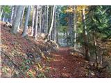 42
42 43
43 44
44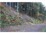 45
45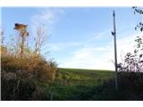 46
46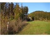 47
47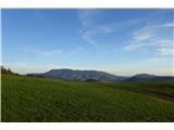 48
48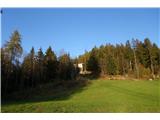 49
49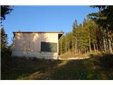 50
50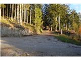 51
51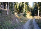 52
52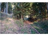 53
53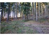 54
54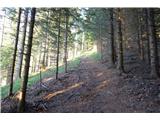 55
55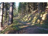 56
56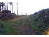 57
57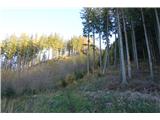 58
58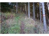 59
59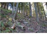 60
60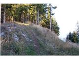 61
61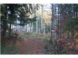 62
62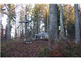 63
63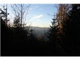 64
64 65
65
Discussion about the trip Frohnleiten - Hochtrötsch (Trötsch)
To post a comment you must log in:
If you do not yet have a username, you must first
register.