Pri Jalnu / Fusine Laghi - Monte Coppa
Starting point: Pri Jalnu / Fusine Laghi (850 m)
| Latitude/Longitude: | 46,49870°N 13,69590°E |
| |
Walking time: 2 h
Difficulty: easy marked way
Elevation gain: 646 m
Elevation difference along the route: 680 m
Map: Kranjska Gora 1:30.000
Recommended equipment (summer):
Recommended equipment (winter): ice axe, crampons
Views: 3.706
 | 1 person like this post |
Access to starting point:
First, we drive to Kranjska Gora, then we continue driving towards Rateče and further into Italy. When we cross the border, we drive on the main road only about 500 m, then by the road we notice the mountain signposts for "Monte Forno and Bivio M. Cavallar". Here we continue right on the worse macadam road, along which about 50 m ahead we park at a suitable place by the road.
Route description:
From the starting point, we continue on an increasingly poor road, which quickly brings us to moderately steep hay meadows. Across the hay meadows we walk on a marked cart track and mostly ascend diagonally to the right. At first, beautiful views open up on the Julian Alps, then the path enters the forest and turns left. Further on, we ascend diagonally towards the northwest, and the path leads us along an old mule track, which higher up joins the macadam road. When we step onto the road, we continue sharply right, and it ascends to a smaller saddle, after which the road to the summit Kavalar (also Kavalarka) / Monte Cavallar branches off to the left, while we continue straight on the road, which begins to descend moderately. For some time we descend along the road, beside which we notice numerous warnings that we must not leave the road, as otherwise we would step onto private property. After a short descent, first the road to Marija Snežna / Madonna della Neve (on the sign Maria im Schnee) branches off to the left, and a few meters further the road to Kopa / Monte Coppa (1497 m) branches off to the right.
From the second junction we continue sharply right in the direction of Kopa / Monte Coppa (straight to Peč (tripoint)) and continue on a narrower road, which further ascends through dense forest. Higher up, the road leads past abandoned buildings (buildings from the time of the Rapallo border), a little further also to a statue of the Holy Mother of God. Here the road turns sharply left, then gradually changes into a still wide cart track at first. At the junction of cart tracks a few minutes above the statue of St. Mary we continue left and proceed along a moderately steep cart track. Further on, occasionally some views open up on the Julian, Carnic and Gailtal Alps, but the path mostly runs through dense forest. A little below the summit we reach some buildings of the former Rapallo border, and here the until-now quite rare blazes also end.
We continue on the unmarked cart track, which quickly ends, and from the end of the cart track we continue right along an indistinct ridge, along which in a few steps we reach the summit of Kopa.

Photos:
 1
1 2
2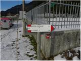 3
3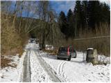 4
4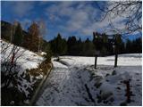 5
5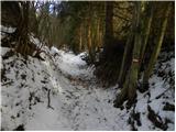 6
6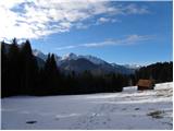 7
7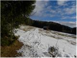 8
8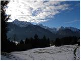 9
9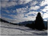 10
10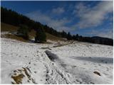 11
11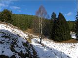 12
12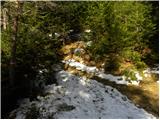 13
13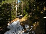 14
14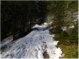 15
15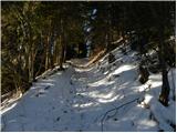 16
16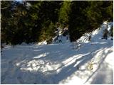 17
17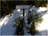 18
18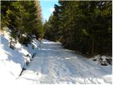 19
19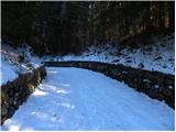 20
20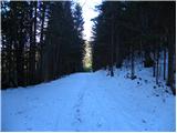 21
21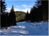 22
22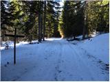 23
23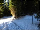 24
24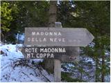 25
25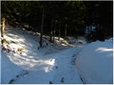 26
26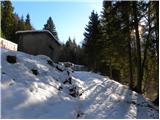 27
27 28
28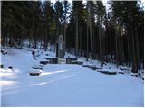 29
29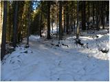 30
30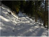 31
31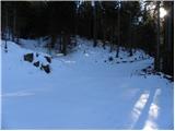 32
32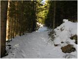 33
33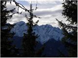 34
34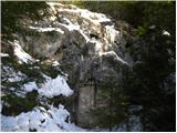 35
35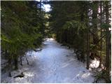 36
36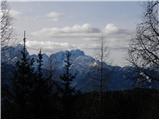 37
37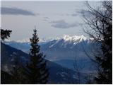 38
38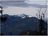 39
39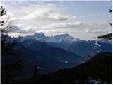 40
40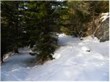 41
41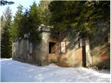 42
42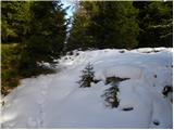 43
43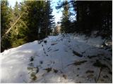 44
44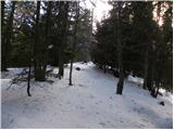 45
45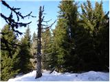 46
46 47
47
Discussion about the trip Pri Jalnu / Fusine Laghi - Monte Coppa
To post a comment you must log in:
If you do not yet have a username, you must first
register.