Pri Jalnu / Fusine Laghi - Ofen/Peč
Starting point: Pri Jalnu / Fusine Laghi (850 m)
| Latitude/Longitude: | 46,49870°N 13,69590°E |
| |
Walking time: 2 h 15 min
Difficulty: easy marked way
Elevation gain: 658 m
Elevation difference along the route: 715 m
Map: Kranjska Gora 1:30.000
Recommended equipment (summer):
Recommended equipment (winter): ice axe, crampons
Views: 8.898
 | 1 person like this post |
Access to starting point:
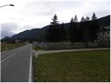
First, we drive to Kranjska Gora, and then we continue driving towards Rateče and further into Italy. When we cross the border, we drive on the main road only about 500 m, and then by the road we notice the signposts for "Monte Forno and Bivio M. Cavallar". Here we continue right on a worse macadam road, beside which about 50 m ahead we park at a suitable place by the road.
Route description:
From the starting point, we continue on an increasingly bad road which quickly brings us to moderately steep hay meadows. Across the hay meadows we walk on a marked cart track and mostly ascend diagonally towards the right. At first beautiful views open up on the Julian Alps, and then the path passes into the forest and turns to the left. Further on, we ascend diagonally towards the northwest, and the path leads us on an old mule track, which higher up joins the macadam road. When we step on the road, we continue sharply right, and it ascends to a smaller saddle, after which the road towards the summit Kavalar (also Kavalarka) / Monte Cavallar branches off to the left, and we continue straight on the road which starts moderately descending. For some time we descend on the road, beside which we notice numerous warnings that we must not leave the road, as otherwise we would step on private property. After a short descent first the road towards Marija Snežna / Madonna della Neve (on the sign Maria im Schnee) branches off to the left, a few meters ahead the road to Kopa / Monte Coppa (1497 m) to the right. In both cases we continue straight, and we descend a little lower on the road, to the next crossroad, beside which stand a trough with water and hiking signposts.
Here we continue slightly right and past the bunker from the time of the Rapallo border, we ascend a little higher, to the spot where the signs for Peč (on the sign German caption Dreiländereck) direct us right onto a moderately steep cart track, on which in a few minutes we ascend to the bivouac without borders (caption on the bivouac - Senza Confini Hütte).
From the bivouac the path continues straight ahead, which higher joins the Slovenian path (steep footpath), and we continue left into the forest and first ascend on the old military road, then ascend on the parallel but quite steep mountain path. Higher the path flattens and brings us to an indistinct ridge, along which we ascend to the grazing fence. We cross the mentioned fence, and behind it we continue right to the nearby summit, from which a nice view opens up mainly towards Austria. For a view of the Julian Alps we have to descend a little to the Slovenian side.

Along the route: Bivak Senza Confini (1319m)
Photos:
 1
1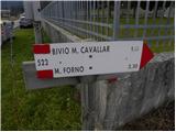 2
2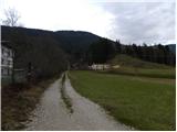 3
3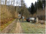 4
4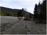 5
5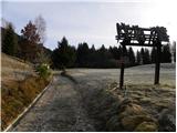 6
6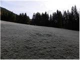 7
7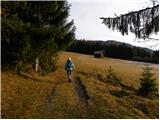 8
8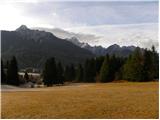 9
9 10
10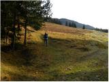 11
11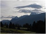 12
12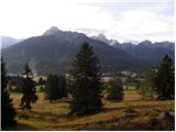 13
13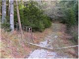 14
14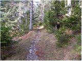 15
15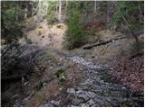 16
16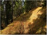 17
17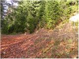 18
18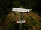 19
19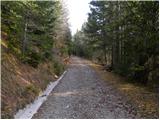 20
20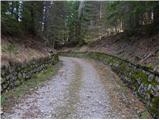 21
21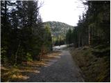 22
22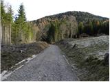 23
23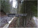 24
24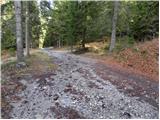 25
25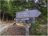 26
26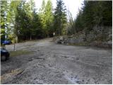 27
27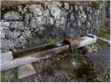 28
28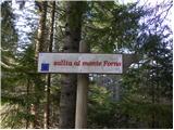 29
29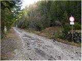 30
30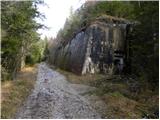 31
31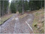 32
32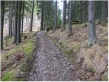 33
33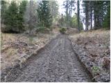 34
34 35
35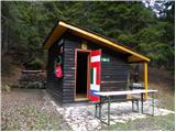 36
36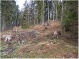 37
37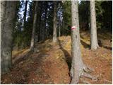 38
38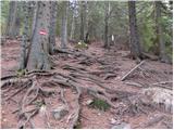 39
39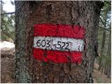 40
40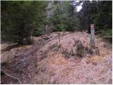 41
41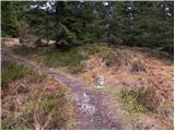 42
42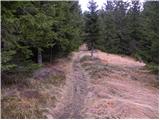 43
43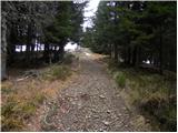 44
44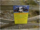 45
45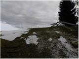 46
46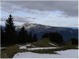 47
47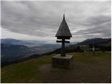 48
48 49
49
Discussion about the trip Pri Jalnu / Fusine Laghi - Ofen/Peč
To post a comment you must log in:
If you do not yet have a username, you must first
register.