Gabrje - Sveta Katarina (Topol)
Starting point: Gabrje (328 m)
| Latitude/Longitude: | 46,07670°N 14,38480°E |
| |
Walking time: 1 h 10 min
Difficulty: easy marked way
Elevation gain: 410 m
Elevation difference along the route: 415 m
Map: Ljubljana - okolica 1:50.000
Recommended equipment (summer):
Recommended equipment (winter):
Views: 40.611
 | 1 person like this post |
Access to starting point:
From the highway Ljubljana - Koper we go to the exit Brezovica, and then we continue driving in the direction of Dobrova and Polhov Gradec. At the end of the village Gabrje we will get to a marked intersection, where a road towards the villages Belo, Osredek and Topol branches off to the right. Here we park at a suitable spot by the transformer, or already a little before on one of the suitable spots by the road.
Route description:
On the other side of the road from the transformer, we will notice hiking signposts for Topol, which direct us onto a rough forest road which ascends on the right side of one of the houses. The road continues relatively steeply uphill and quickly brings us to a smaller interesting cavity from which a springlet emerges. From here we continue on the road for some time, then, when we step out of the forest, only a few meters before the smaller hamlet we continue left on a marked footpath. The path ahead first ascends over a panoramic grassy ridge, then returns into the forest, through which we ascend for the next few minutes. Higher we step onto a grassy hay meadow and walk across it to a macadam road. We continue along the road only for a short time, then signs for Katarina direct us left onto a footpath, which further moderately ascends through the forest. Higher the trail flattens completely for a short time, then brings us to the road which leads from Toško čelo towards Katarina. We follow the road to the left, which in a gentle descent brings us to a smaller intersection by which a cross stands.
At the cross we continue left and ascend on a gentle partly asphalt road to the Vaška inn, by which we notice the next hiking signposts. Here we continue right in the direction of Sveti Jakob and continue on a relatively steep road, on which we arrive at a larger chapel in a few minutes.
At the chapel we continue right (left Sveti Jakob) and continue on the still asphalted road, which after 5 minutes of further walking brings us to the church of St. Catherine.

Along the route: Topol (631m)
Photos:
 1
1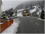 2
2 3
3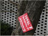 4
4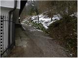 5
5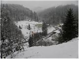 6
6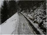 7
7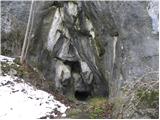 8
8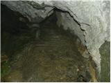 9
9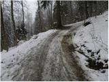 10
10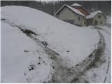 11
11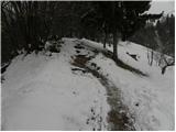 12
12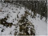 13
13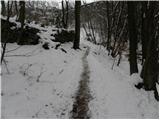 14
14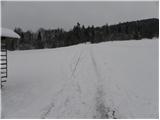 15
15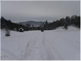 16
16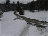 17
17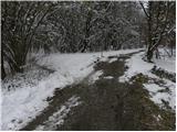 18
18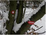 19
19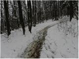 20
20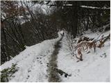 21
21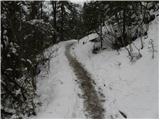 22
22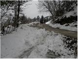 23
23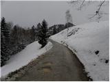 24
24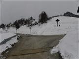 25
25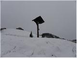 26
26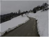 27
27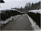 28
28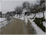 29
29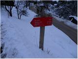 30
30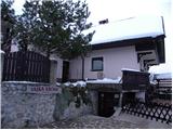 31
31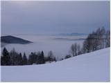 32
32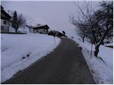 33
33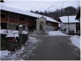 34
34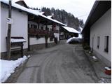 35
35 36
36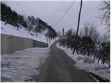 37
37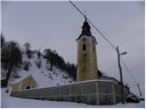 38
38
Discussion about the trip Gabrje - Sveta Katarina (Topol)
|
| rales15. 06. 2014 |
The path is still marked as impassable or deadly dangerous due to falling rocks and trees.
|
|
|
|
| Enka24. 09. 2015 |
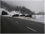
At the starting point there are practically no parking spaces left (at the transformer it's roped off, at the parking lot in the picture there's a no parking sign).
|
|
|
|
| ljubitelj gora24. 09. 2015 |
Park along the main road, that's between picture 1 and 2.
|
|
|
|
| Enka24. 09. 2015 |
Yes, that's the only one left. Yesterday in that downpour it was even worse 
|
|
|
To post a comment you must log in:
If you do not yet have a username, you must first
register.