Starting point: Gabrje (328 m)
| Latitude/Longitude: | 46,07660°N 14,38430°E |
| |
Walking time: 3 h 5 min
Difficulty: easy marked way
Elevation gain: 693 m
Elevation difference along the route: 820 m
Map: Ljubljana - okolica 1:50.000
Recommended equipment (summer):
Recommended equipment (winter): ice axe, crampons
Views: 5.782
 | 1 person like this post |
Access to starting point:
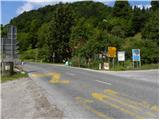
A) We leave the Primorska highway at the Brezovica exit, and then we continue driving in the direction of Dobrova and Polhov Gradec. Further, we drive through the valley of Gradaščica, following the main road towards Polhov Gradec to a smaller crossroad, where a road towards the villages Osredek, Topol (Katarina) and Belo branches off to the right (turn-off from the main road is located a little before the beginning of the village Hrastenice). We park at an appropriate place by the mentioned crossroad.
B) From the Ljubljana ring road or Gorenjska highway we head to the exit Ljubljana (Podutik), and then we continue driving towards the mentioned area of Ljubljana and further towards Dobrova. After Preval, where a road towards Toško Čelo branches off to the right, the road starts descending, and we drive down it to the spot where we reach the main road Dobrova - Polhov Gradec. We follow the mentioned road to the right in the direction of Polhov Gradec, and we follow the main road to a smaller crossroad, where a road towards the villages Osredek, Topol (Katarina) and Belo branches off to the right (turn-off from the main road is located a little before the beginning of the village Hrastenice). We park at an appropriate place by the mentioned crossroad.
C) We drive to Polhov Gradec, and then we continue driving towards Ljubljana. A little after the village Hrastenice, we will get to a crossroad, where the road towards the villages Osredek, Topol (Katarina) and Belo branches off to the left (turn-off from the main road is located a little before the beginning of the village Hrastenice). We park at an appropriate place by the mentioned crossroad.
Route description:
From the crossroad at the transformer we continue a few steps on the main road towards Polhov Gradec, and then we go right in the direction of Grmada on a macadam road which continues past houses. The macadam road which leads us past a few houses quickly brings us to a smaller saddle, where we continue straight downwards (sharply right cart track which leads on the eastern slopes of the peak Praprotno (527 m) and further splits several times). The road then leads us past another house, and behind it we continue right on an ascending cart track. We continue the ascent diagonally through the forest, and past a smaller spring we arrive at a badly marked junction, where we continue right. Further, we moderately ascend through the forest, and by the path we notice some rare blazes, next to one is also an inscription for altitude. Higher, we arrive at some kind of a ridge along and on which we then ascend towards the village Belo.
When we reach the village nice views open up, and the path further leads on mostly macadam road, which in some crossroads we follow in the direction of the open door farm Pr Lenart, which we quickly also reach.
From the farm we continue in the direction of Grmada, on a grassy cart track, on which we quickly arrive at a macadam road, and we gently ascend on it with nice views on Grmada and surrounding hills. At the hunting observatory the worse road turns right and ends at the nearby house. We bypass the house on the left side and continue the path through dense forest, where we first walk on the left side of the slope, a little further we cross to the right side. Further, the path leads us through some belts of pine forest, from where temporarily some views also open up, then the path returns to the forest and ascends diagonally on a somewhat slippery path. A little further we reach the saddle Krvavi Vil, where there is a junction of some paths.
From the junction we continue slightly left (slightly right Katarina and Goljek, right Kobilja dolina), where after a few minutes we step on the marked path Katarina - Grmada.
We follow the mentioned path to the left, and soon the path from the tourist farm Robež also joins us.
The path continues on and along the ridge Lipja, which first leads us past a memorial plaque NOB, a little further also past a nice vantage point, then mostly continues through the forest with some shorter ascents and descents. Such a path continues all the way to a marked junction approximately 15 minutes below the summit of Grmada.
We continue right in the direction of the tourist farm Gonte (left Setnica, straight Grmada) on a wide path, which with some short descents and ascents quickly brings us to the mentioned farm.
Left of the tourist farm we will notice mountain signs for Tošč, which direct us to a gentle and wide cart track. The marked path a little higher leaves the cart track and then starts to ascend more steeply. The path, which almost entirely runs through the forest, brings us higher to the summit of Mali Tošč (902 m) from which the path starts descending towards the saddle between both peaks.
Further, from the right the path from Govejka joins us, and we continue straight on the path which ascends towards the summit Tošč. After approximately 15 minutes of further walking the path brings us to a pleasant summit.

Photos:
 1
1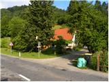 2
2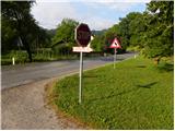 3
3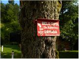 4
4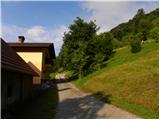 5
5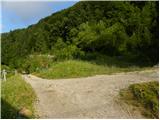 6
6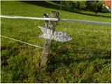 7
7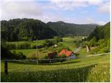 8
8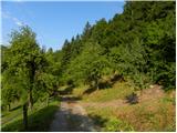 9
9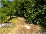 10
10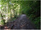 11
11 12
12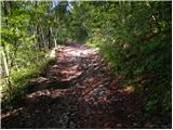 13
13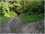 14
14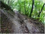 15
15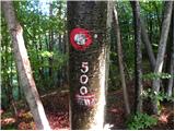 16
16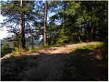 17
17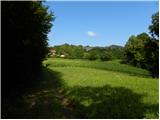 18
18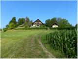 19
19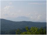 20
20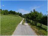 21
21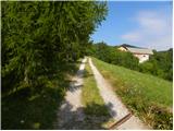 22
22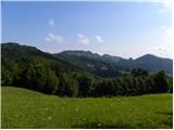 23
23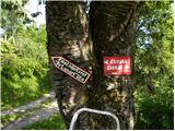 24
24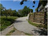 25
25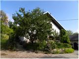 26
26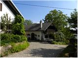 27
27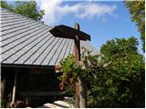 28
28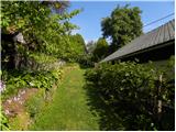 29
29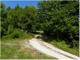 30
30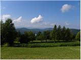 31
31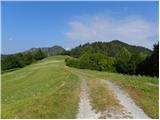 32
32 33
33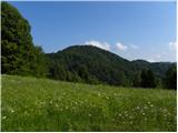 34
34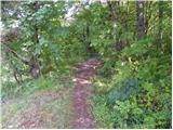 35
35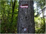 36
36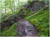 37
37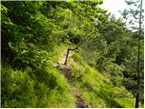 38
38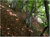 39
39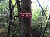 40
40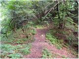 41
41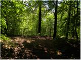 42
42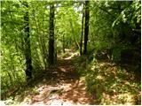 43
43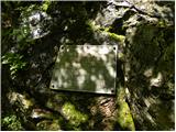 44
44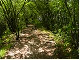 45
45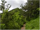 46
46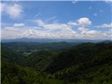 47
47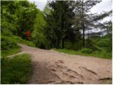 48
48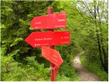 49
49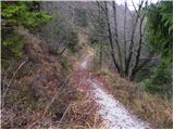 50
50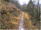 51
51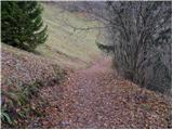 52
52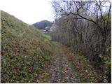 53
53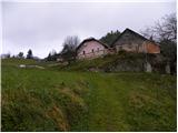 54
54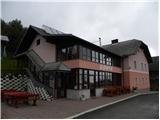 55
55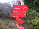 56
56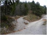 57
57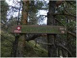 58
58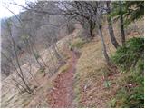 59
59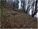 60
60 61
61 62
62 63
63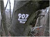 64
64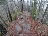 65
65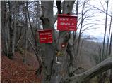 66
66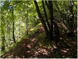 67
67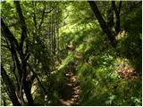 68
68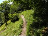 69
69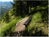 70
70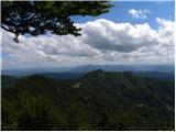 71
71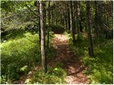 72
72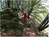 73
73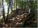 74
74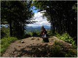 75
75 76
76
Discussion about the trip Gabrje - Tošč
To post a comment you must log in:
If you do not yet have a username, you must first
register.