Galicija - Planinski dom Šentjungert
Starting point: Galicija (288 m)
| Latitude/Longitude: | 46,29220°N 15,20560°E |
| |
Walking time: 45 min
Difficulty: easy marked way
Elevation gain: 277 m
Elevation difference along the route: 277 m
Map: Zgornja Savinjska dolina 1 : 50.000
Recommended equipment (summer):
Recommended equipment (winter):
Views: 14.031
 | 1 person like this post |
Access to starting point:
From the highway Ljubljana - Maribor, take the exit Žalec (Arja vas), then continue driving towards Velenje. On the main road towards Velenje, drive to the settlement Velika Pirešica, where turn right onto the road in the direction of the villages Pernovo and Galicija. The road, which continues towards the west, ascends somewhat further temporarily, then descends into the valley of the Podsevčnica stream. Here the road starts turning more and more to the left, and we follow it to a smaller intersection, by which we notice signposts for the Dom na Šentjungertu mountain hut. At the starting point, there are no designated parking spaces, so we have to park a little earlier at an appropriate place by the road.
Route description:
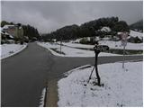
From the crossroad, by which we notice the mountain signpost for the Dom na Šentjungertu mountain hut, we continue on the narrower right road in the already mentioned direction. The road first ascends gently through meadows, then becomes somewhat steeper and leads us past a few houses. At the smaller crossroad behind the chapel, we continue left, then follow the road almost to its end. A little before the end of the road, we continue straight into the forest (at the spot where we leave the road, it turns right and then ends at the nearby residential house) on a marked footpath that ascends through the forest. We continue on the forest path, which occasionally ascends quite steeply. After approximately 30 minutes of walking from the starting point, we leave the forest path as we step onto an asphalt road, which we follow to the left. Continuing, we ascend along the moderately steep road, and after about 10 minutes of further walking arrive at the Dom na Šentjungertu mountain hut and a few meters higher at the church of St. Kunigunda.

Photos:
 1
1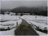 2
2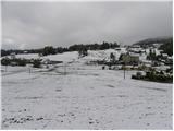 3
3 4
4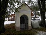 5
5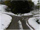 6
6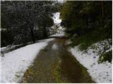 7
7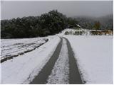 8
8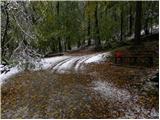 9
9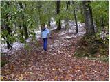 10
10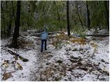 11
11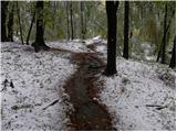 12
12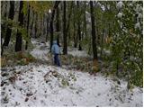 13
13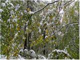 14
14 15
15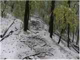 16
16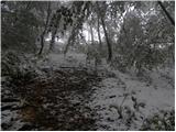 17
17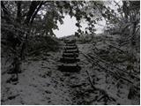 18
18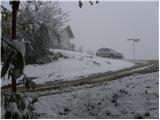 19
19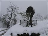 20
20 21
21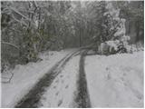 22
22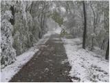 23
23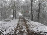 24
24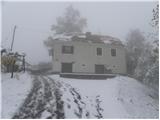 25
25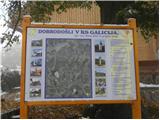 26
26 27
27 28
28
Discussion about the trip Galicija - Planinski dom Šentjungert
To post a comment you must log in:
If you do not yet have a username, you must first
register.