Glashütten (Gasthof Almwirt) - Glashüttenkogel
Starting point: Glashütten (Gasthof Almwirt) (1290 m)
| Latitude/Longitude: | 46,82896°N 15,05900°E |
| |
Walking time: 1 h 25 min
Difficulty: easy marked way
Elevation gain: 472 m
Elevation difference along the route: 475 m
Map:
Recommended equipment (summer):
Recommended equipment (winter): ice axe, crampons
Views: 13
 | 1 person like this post |
Access to starting point:
First we drive to Maribor, then continue on the motorway towards MP Šentilj and further on the Austrian motorway towards Graz (Graz). We leave the mentioned motorway at the exit for the place Lipnica (Leibnitz). After exiting the motorway, at the roundabout we continue in the direction of the place Lipnica, then drive south of the village Gralla, which today is already a kind of peripheral part of Lipnica. The route then leads past the industrial or commercial zone, where at the roundabout by the Hofer store we continue straight (second exit) in the direction of the place Lonč (Deutschlandsberg). We drive on the main road for some time, then after the village Graschach turn right in the direction of the place Lonč. At the roundabout in the immediate vicinity of Lonč we continue straight in the direction of the alpine pass Weinebene. From here the road starts to climb more steeply. After approximately 15 kilometers we arrive at a junction, where the road branches off to the right towards the inn Gasthof Almwirt. We turn onto the mentioned road and then park on the gravel parking lot about 100 meters before the permanently closed inn.
Route description:
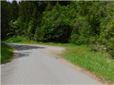
From the parking lot we walk to the former inn Almwirt, after which the asphalt ends. The road leads us past a cross into the forest, where it turns into a cart track and forks.
We continue on the left, steep path (right longer, gentle path), which starts to climb through the forest and among blueberry bushes. Higher up there are several junctions, where we follow the markings, then we join the gentler path.
Here we go left, and on the section where the path levels out completely, we choose the slightly right cart track, which starts to climb again. Further on there are several crossings of a forest road, where we faithfully follow the markings. From the junction where we join the path from the settlement Osterwitz, we continue left towards the pass Weinebene. Higher up the forest becomes increasingly sparse, and we climb across a pasture. When the path levels out in the upper part of the pasture, we arrive at the area of wind turbines. We reach it by crossing the scenic slopes of the peak Glashüttenkogel. At a suitable place we leave the marked path and in three minutes of pathless terrain climb to an indistinct summit, near which stands a wind turbine.
The description and photos refer to the situation in June 2026.

Photos:
 1
1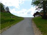 2
2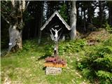 3
3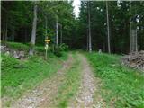 4
4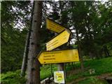 5
5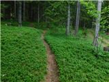 6
6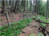 7
7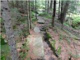 8
8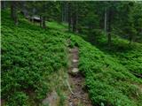 9
9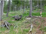 10
10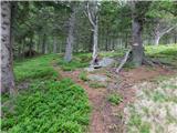 11
11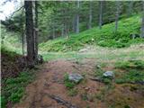 12
12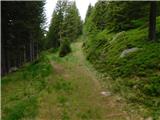 13
13 14
14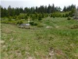 15
15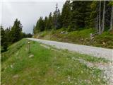 16
16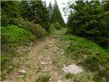 17
17 18
18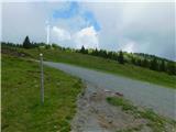 19
19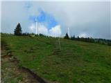 20
20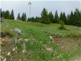 21
21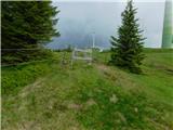 22
22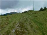 23
23 24
24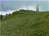 25
25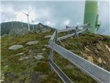 26
26
Discussion about the trip Glashütten (Gasthof Almwirt) - Glashüttenkogel
To post a comment you must log in:
If you do not yet have a username, you must first
register.