Globoko - Ojstra peč (via Zjavka)
Starting point: Globoko (409 m)
| Latitude/Longitude: | 46,32170°N 14,20790°E |
| |
Route name: via Zjavka
Walking time: 40 min
Difficulty: easy unmarked way
Elevation gain: 107 m
Elevation difference along the route: 135 m
Map: Karavanke 1:50.000 - osrednji del
Recommended equipment (summer):
Recommended equipment (winter): ice axe, crampons
Views: 630
 | 1 person like this post |
Access to starting point:
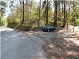
We leave the Gorenjska highway at the Brezje exit, and then we continue driving towards Kropa and Podnart. About 100 meters before the sign that marks the beginning of the settlement Dobro Polje, we turn sharply right from the main road onto a narrower road that continues parallel to the main road, later the highway. After 300 to 400 meters we arrive at a smaller crossroads, where we continue left in the direction of the tourist farm Globočnik. The narrow road first leads us through fields, then takes us into the forest, through which it descends to the settlement Globoko. When we reach the road that comes from Podvin, we continue left, then drive over a narrower bridge across the Sava River. A little after the bridge, a wide cart track branches off to the right, and we park at an appropriate place at the beginning of the cart track.
Route description:
From the starting point, we continue on a wide cart track which continues without visible change in height, and at the crossings we follow it straight ahead. A little further, when the cart track already changes into a footpath, a path also joins us from the right, which at the beginning runs through the middle of a larger meadow. The path ahead leads us directly above the Sava River and on a shorter section it is also somewhat exposed, but because the path is wide, in snowless conditions it does not pose problems (with frozen snow there is a risk of slipping into the river). A little further, the path splits once again, and we choose the left path, which moves away from the river and begins to ascend moderately. After a few minutes of ascent, we join the path that leads from the Fux footbridge, and we continue left to the nearby cross, where we go left again (straight to Kamna Gorica, right to Pusti grad).
Already after a few steps of ascent, the path splits again, and we continue on the lower right path (along the ridge of Ojstri vrh - the path that bypasses Zjavka). Also at the following smaller crossings we keep to the right paths, and the moderately steep path quickly brings us to Zjavka, from which a beautiful view opens up.
On Zjavka, behind the "woodshed" we continue left, where we step onto a cart track which temporarily descends slightly, then brings us to a smaller crossing, where we continue on the right cart track. There follows walking with some shorter ascents and descents, and when we arrive at the marked crossing we continue sharply left (straight on the cart track to Zgornja Dobrava - 15 minutes) onto the footpath in the direction of Ojstra peč, which we reach in one minute of further walking.
The description and pictures refer to the conditions in 2017 (March, April).

Photos:
 1
1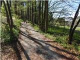 2
2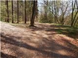 3
3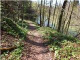 4
4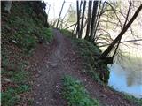 5
5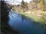 6
6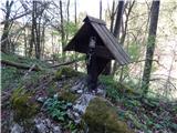 7
7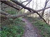 8
8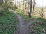 9
9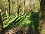 10
10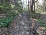 11
11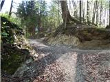 12
12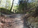 13
13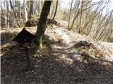 14
14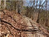 15
15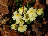 16
16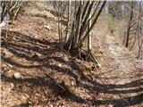 17
17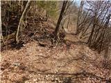 18
18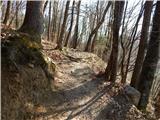 19
19 20
20 21
21 22
22 23
23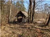 24
24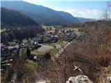 25
25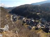 26
26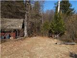 27
27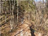 28
28 29
29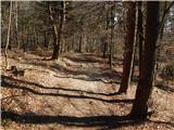 30
30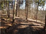 31
31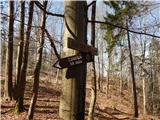 32
32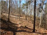 33
33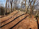 34
34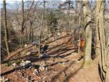 35
35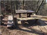 36
36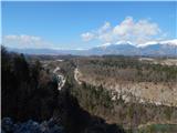 37
37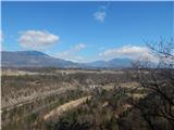 38
38
Discussion about the trip Globoko - Ojstra peč (via Zjavka)
To post a comment you must log in:
If you do not yet have a username, you must first
register.