Golice - Dom na Menini planini
Starting point: Golice (575 m)
| Latitude/Longitude: | 46,21940°N 14,79080°E |
| |
Walking time: 3 h
Difficulty: easy marked way
Elevation gain: 878 m
Elevation difference along the route: 960 m
Map: Posavsko hribovje - zahodni del 1:50.000
Recommended equipment (summer):
Recommended equipment (winter):
Views: 30.070
 | 1 person like this post |
Access to starting point:
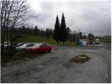
A) First, we drive to Kamnik, and then we continue driving on a regional road through Tuhinjska dolina. Just a little after the village Laze v Tuhinju, we will get to the gas station, beside which a road branches off to the left towards the villages Golice, Češnjice v Tuhinju and Okrog pri Motniku. Here we turn left and then only a few meters ahead we park on an appropriate place by the bus stop.
B) From the Maribor - Ljubljana highway, we take the Vransko exit, and then we continue driving in the direction of Kamnik. Just a little after the Kozjak pass (pass between Gorenjska and Štajerska), we will get to the gas station, beside which a road branches off to the right towards the villages Golice, Češnjice v Tuhinju and Okrog pri Motniku. Here we turn right and then only a few meters ahead we park on an appropriate place by the bus stop.
Route description:
From the crossroad next to the starting point, we head on the road in the direction of the village Golice, where the signposts for the mountain hut Dom na Menini planini also direct us. The path first leads along an ascending asphalt road, then brings us to the already mentioned village. Here, behind the second house in the village, the blazes direct us right onto a somewhat steeper road, which ends after just a few meters behind the mentioned house. We continue on the marked cart track, which ascends beside the yard, then continue on the well-marked path ascending over numerous pastures. Higher up, the path enters a strip of forest, and we follow it at all junctions by the signs for Menina planina (mostly just signs without inscription). The path occasionally crosses a forest road, otherwise mostly runs on cart tracks or tractor paths. Eventually, the path brings us to the NOB monument, beside which there is a trough with water, and here we continue sharply left on the still relatively well-marked path. Higher up, the path brings us to a somewhat wider forest road, which we just cross, and continue the ascent in the direction towards the Dom na Menini planini (left Tuhinj, right Biba planina). Further on, the path becomes somewhat harder to follow, but if we carefully follow the blazes, there are no major orientation problems. Higher, we reach the pasture areas of Menina planina and continue on a noticeably worse-marked path in the already familiar direction. A bit further, the path ascends more steeply for a short time, then almost completely levels out and leads us further over pleasant, partly grassy slopes. After a few minutes of further walking, we reach a marked junction, where the signs for Vivodnik direct us right onto a steep path, by which we arrive at the summit in two minutes, in the middle of which stands a smaller lookout tower.
On the other side of the summit where the lookout tower is, more precisely near the logbook box, we will notice the start of the marked path, which begins to descend towards the northeast. The path then turns somewhat to the left, crosses a strip of forest, then levels out and brings us with a slight ascent to a marked junction, where a path joins us from the left that bypasses the summit of Vivodnik. We continue straight into the strip of forest, then the path begins to descend noticeably towards the Dom na Menini planini, which we already see ahead of us, and we reach it after a few minutes of further walking.

Photos:
 1
1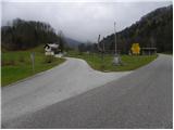 2
2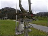 3
3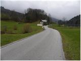 4
4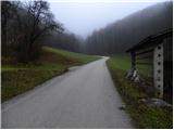 5
5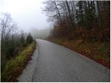 6
6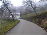 7
7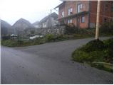 8
8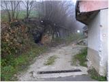 9
9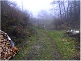 10
10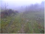 11
11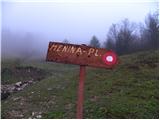 12
12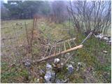 13
13 14
14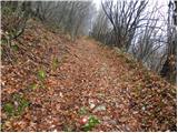 15
15 16
16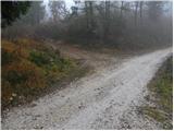 17
17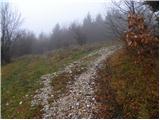 18
18 19
19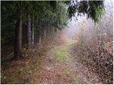 20
20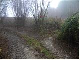 21
21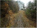 22
22 23
23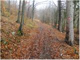 24
24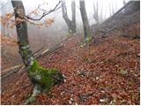 25
25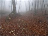 26
26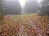 27
27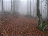 28
28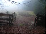 29
29 30
30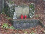 31
31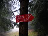 32
32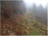 33
33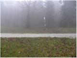 34
34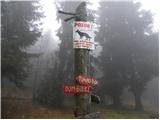 35
35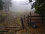 36
36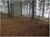 37
37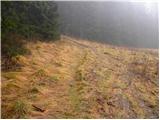 38
38 39
39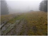 40
40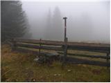 41
41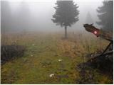 42
42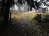 43
43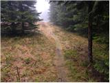 44
44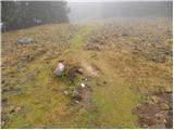 45
45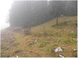 46
46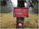 47
47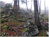 48
48 49
49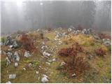 50
50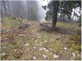 51
51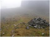 52
52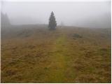 53
53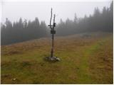 54
54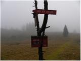 55
55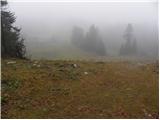 56
56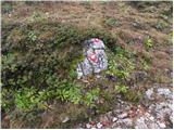 57
57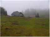 58
58 59
59
Discussion about the trip Golice - Dom na Menini planini
|
| dekopela6. 02. 2011 |
Today we visited Menina planina. There were many people at the top, apparently some group outing. The trail is mostly covered with snow, so a bit more strenuous for walking. But it can still be done in time.
|
|
|
|
| Ajda_Zitnik5. 03. 2012 |
I hiked the trail yesterday. Snow appears on the pastures, below there's none or little. Caution needed, as snow doesn't support human weight and collapses. Can be quite deep.
|
|
|
|
| nejc21422. 01. 2022 19:18:46 |
Today we hiked this path to Menina planina. The path is very poorly marked (worn out, missing) and hard to follow. Renewal of markings and directional signs is needed.
|
|
|
|
| jprim22. 01. 2022 20:20:35 |
Last year we also missed the path when returning to the valley, even though it wasn't our first time on this path. So we had to go by road about 10 kilometers to the gas station.
Best regards!
|
|
|
|
| golica23. 01. 2022 17:47:17 |
Indeed, the path is very poorly marked, with my colleague we went via Biba planina, luckily there was a group of girls from Ljubljana that we followed.
|
|
|
|
| Marjana K17. 02. 2026 08:03:17 |
Has anyone walked this path in recent years who can tell if the markings have been renewed? I would be grateful for an answer.
|
|
|
|
| INŽ19. 02. 2026 08:52:00 |
Greetings Marjana, we have re-marked this path, but there was a problem at the location Kriva Veja, where the forest owner - the skidding trails - is very arrogant and we erased the markings. When you cross the forest road, go another approx. 150 meters along the road and then turn left, where the route of the original path is, the markings are faded and we will renew them as soon as the time is suitable.
|
|
|
To post a comment you must log in:
If you do not yet have a username, you must first
register.