Gornje Retje - Grmada on Mala gora
Starting point: Gornje Retje (580 m)
Walking time: 1 h 40 min
Difficulty: easy marked way
Elevation gain: 307 m
Elevation difference along the route: 350 m
Map:
Recommended equipment (summer):
Recommended equipment (winter):
Views: 7.711
 | 1 person like this post |
Access to starting point:
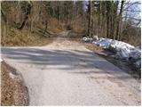
From Ljubljana, we drive towards Kočevje or vice versa. Only about a kilometer after (from the direction of Kočevje before) Velike Lašče we will get to a crossroad, where we turn left towards the village Gornje Retje (from the direction of Kočevje right). The road then through a narrow overpass above the railway track brings us to a crossroad, where we continue right. The road after a short ascent quickly brings us to Gornje Retje, where a trail marker directs us left upwards on a steep road. We follow the steep asphalt road approximately 100 meters to the spot, where we notice a yellow mountain signpost with the caption Grmada, which directs us on a bad macadam road, by which we then park (we can also park below the village near the recycling containers, but in a way that we don't hinder a possible garbage pickup).
Route description:
From the starting point, we continue in the direction of Grmada on an increasingly bad road which higher changes into a cart track. The cart track higher passes out of the forest on extensive meadows, through which the path continues without large changes in altitude. The path then goes into a short stretch of forest, where it slightly descends, crosses the macadam road and on the other side ascends towards a smaller hamlet. A little before the hamlet, the path turns right and then gently ascends on the upper side of the next meadow. A pleasant path soon crosses another short stretch of forest, after which it passes on unvegetated slopes, from which a view opens up towards Grmada. In a gentle ascent we walk over a grassy slope, and then the path again disappears into the forest, where in a gentle descent we cross the next forest road. After that, the path again comes out of the forest and continues on a wide, partly rocky cart track which at the hunting observatory turns quite to the right. Blazes then point us to the left on a somewhat steeper grassy slope, on which we ascend to the edge of the forest, where from the left side the path from Kamen vrh joins.
We continue on a marked path which goes even a little more to the left into the forest and which we follow in moderate steepness to the top of Grmada.
Because of the numerous junctions and occasionally quite rare blazes, the orientation on the path is difficult.

Photos:
 1
1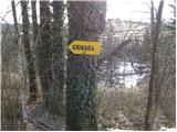 2
2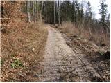 3
3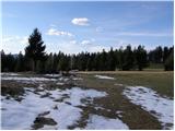 4
4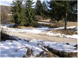 5
5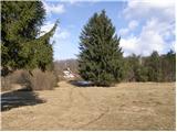 6
6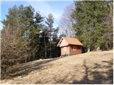 7
7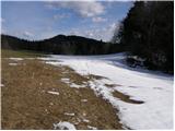 8
8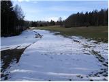 9
9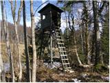 10
10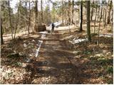 11
11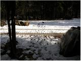 12
12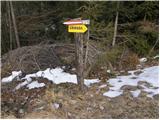 13
13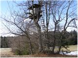 14
14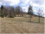 15
15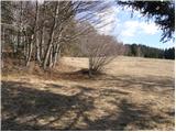 16
16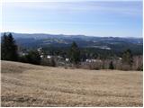 17
17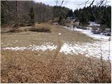 18
18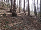 19
19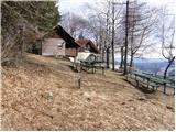 20
20 21
21
Discussion about the trip Gornje Retje - Grmada on Mala gora
|
| igordr5. 05. 2024 16:14:40 |
The path has been newly marked and there are no more orientation issues as described in the path description.
|
|
|
To post a comment you must log in:
If you do not yet have a username, you must first
register.