Gornji Grad - Špic (via Semprimožnik)
Starting point: Gornji Grad (436 m)
| Latitude/Longitude: | 46,29500°N 14,80680°E |
| |
Route name: via Semprimožnik
Walking time: 3 h 15 min
Difficulty: easy marked way
Elevation gain: 1063 m
Elevation difference along the route: 1063 m
Map: Zgornja Savinjska dolina 1:50.000
Recommended equipment (summer):
Recommended equipment (winter):
Views: 5.998
 | 1 person like this post |
Access to starting point:
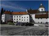
From Savinjska Valley or from Kamnik via Črnivec Pass, we drive to Gornji Grad, where we park on the well-maintained parking lot by the main bus station.
Route description:
From the parking lot, we continue along the main road towards Savinjska Valley. After a few tens of meters we come to a smaller intersection, where signs for Dom na Menini planini direct us right onto Prod Street. Immediately after the first house we reach a marked junction, where the path over Borovnica branches off to the right, and we continue straight in the direction of Menina planina past Semprimožnik. We continue on the road for some time, then we come to a larger chapel, behind which we continue right onto the forest road. The road quickly brings us to a smaller stream, after which it changes into a steep cart track. We continue the ascent on the marked cart track, which higher turns left and a little further brings us to a marked junction.
We continue right on the steep path (or straight on the gentle path), which past the plague column from the 17th century after approximately 20 minutes of further walking brings us to an indistinct saddle, where the path to St. Florian branches off to the left (1 minute), and we continue right, where after a few steps of further walking a gentle path joins us. We continue straight on the marked path, which over steep and increasingly panoramic grassy slopes brings us to the forest road leading to Menina planina. We only cross the mentioned road, as the signs lead us onto a grassy hayfield, over which in a few steps we arrive at Semprimožnik. Just a few meters above the farm we step back onto the road, where the signs for Menina planina direct us onto a well-marked path. Further we moderately ascend on the cart track, which turns slightly to the right and from the edge of the forest leads us into denser forest. The path soon exceeds 1000 m altitude and a little further brings us to parking lot No. 2 (parking lot No. 1 is located near the Semprimožnik farm).
Here we cross the road again and continue the ascent on a pleasant path, which quickly brings us to "Usranega klanca". Here the path ascends more steeply for a short time, then in a moderate ascent through the forest brings us to a junction, where the path over Borovnica joins from the right.
We continue the moderate ascent through the forest and the path quickly brings us to Prag (1170 m), from which a barely noticeable descent to "kopalnica" follows. The path, which starts ascending again, quickly brings us to the next marked junction, where we have two options for continuing. We continue slightly left towards Menina planina over Ovčji stan (right: Menina planina over Jespo, the latter is 15 minutes longer, option for a circular route). The path ahead ascends through the forest for some time, then, immediately after crossing the pasture fence, we step out of the forest onto increasingly panoramic grassy slopes. We cross the mentioned grassy slopes in a traversing ascent, then just before joining the forest road, we continue left on a poorly visible trail, which in a few minutes of further walking brings us to Špic. We recognize the summit by the transmitters.

Photos:
 1
1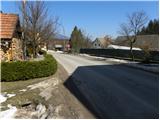 2
2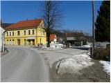 3
3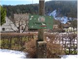 4
4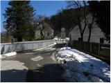 5
5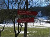 6
6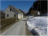 7
7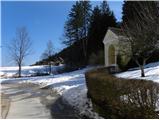 8
8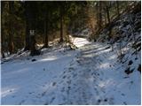 9
9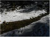 10
10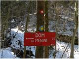 11
11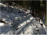 12
12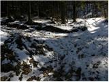 13
13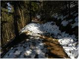 14
14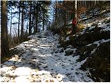 15
15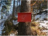 16
16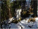 17
17 18
18 19
19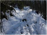 20
20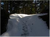 21
21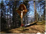 22
22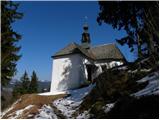 23
23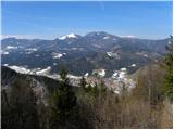 24
24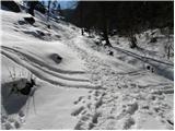 25
25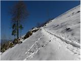 26
26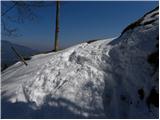 27
27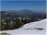 28
28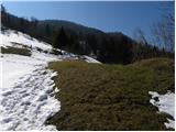 29
29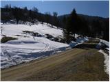 30
30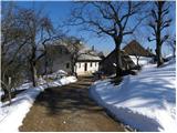 31
31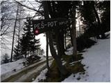 32
32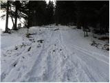 33
33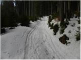 34
34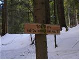 35
35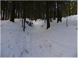 36
36 37
37 38
38 39
39 40
40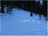 41
41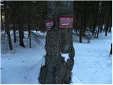 42
42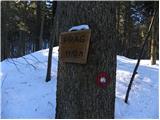 43
43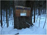 44
44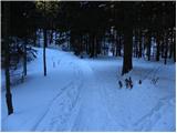 45
45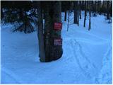 46
46 47
47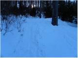 48
48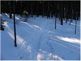 49
49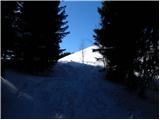 50
50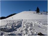 51
51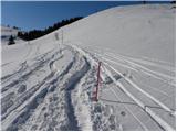 52
52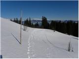 53
53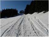 54
54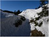 55
55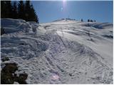 56
56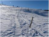 57
57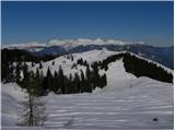 58
58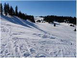 59
59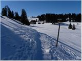 60
60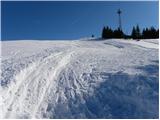 61
61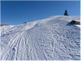 62
62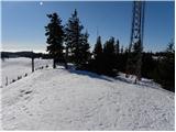 63
63 64
64
Discussion about the trip Gornji Grad - Špic (via Semprimožnik)
To post a comment you must log in:
If you do not yet have a username, you must first
register.