Gozd Martuljek - Lake Jasna (via Tofov graben)
Starting point: Gozd Martuljek (750 m)
| Latitude/Longitude: | 46,48200°N 13,83780°E |
| |
Route name: via Tofov graben
Walking time: 2 h 15 min
Difficulty: easy marked way
Elevation gain: 80 m
Elevation difference along the route: 300 m
Map: Kranjska Gora 1:30.000
Recommended equipment (summer):
Recommended equipment (winter): ice axe, crampons
Views: 9.960
 | 2 people like this post |
Access to starting point:
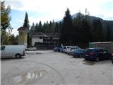
A) We leave the Gorenjska highway at the Jesenice west (Hrušica) exit, and then continue driving towards Kranjska Gora. When we arrive in Gozd Martuljek, after the bridge over Sava Dolinka, we turn left onto the marked parking lot, where we park.
B) We drive to Kranjska Gora, and then continue driving towards Jesenice. When we arrive in Gozd Martuljek, still before the bridge over Sava Dolinka, we turn right onto the marked parking lot, where the described path begins.
Route description:
From the parking lot, we walk to the cycling path, and then follow it right in the direction of Kranjska Gora. We quickly arrive at the first crossroad, where to the left the path continues to the Martuljkovi slapovi waterfalls, and from the right another path from the main road joins us. We continue straight ahead along the cycling path in the direction of Kranjska Gora to the next crossroad a few minutes away, where we continue left in the direction of the log cabin pri Ingotu.
The path ahead leads us along an ascending macadam road, which in winter is converted into a lighted sledding track. Higher up, at an altitude of approximately 900 m, a road branches off to the left to the previously mentioned log cabin, but we continue straight and follow the road for a few more minutes to its end. From the end of the road we continue along the path that enters the forest and shortly afterwards descends relatively steeply into Tofov graben. On the other side of the torrent, the path rises slightly again, then joins another forest road. Along this road we descend slightly, then arrive at a junction, where an unmarked path branches off to the left to Kurji vrh, and to the right a path descends towards Log.
We continue straight ahead along the road, which continues to descend gently, only occasionally rising slightly for a short stretch. After the feeding station, which we notice on the left side, the road descends more steeply and brings us to a crossroad, where we continue sharply right (straight into Rogarjev graben). This is followed by a descent through the settlement of Ivana Krivca, and when we reach the main road Kranjska Gora - Vršič, we cross it carefully, then continue left to the nearby lake Jasna.
Description and pictures refer to the condition in 2017 (September).

Photos:
 1
1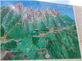 2
2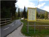 3
3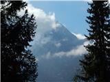 4
4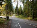 5
5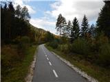 6
6 7
7 8
8 9
9 10
10 11
11 12
12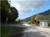 13
13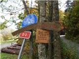 14
14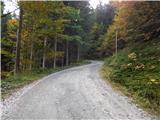 15
15 16
16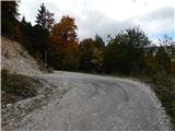 17
17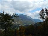 18
18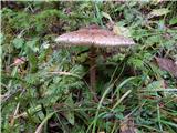 19
19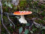 20
20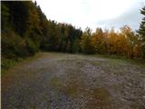 21
21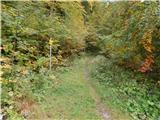 22
22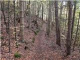 23
23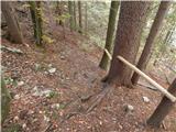 24
24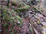 25
25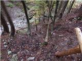 26
26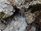 27
27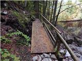 28
28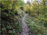 29
29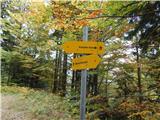 30
30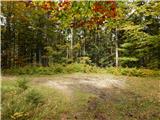 31
31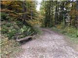 32
32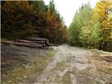 33
33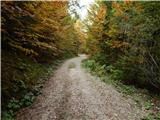 34
34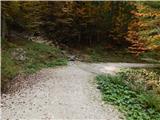 35
35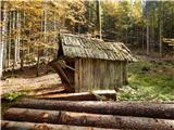 36
36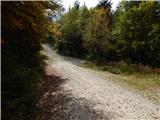 37
37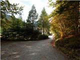 38
38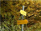 39
39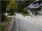 40
40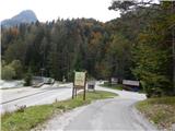 41
41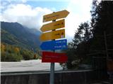 42
42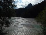 43
43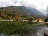 44
44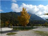 45
45
Discussion about the trip Gozd Martuljek - Lake Jasna (via Tofov graben)
To post a comment you must log in:
If you do not yet have a username, you must first
register.